Harbor Gateway North in Los Angeles in Los Angeles County, California — The American West (Pacific Coastal)
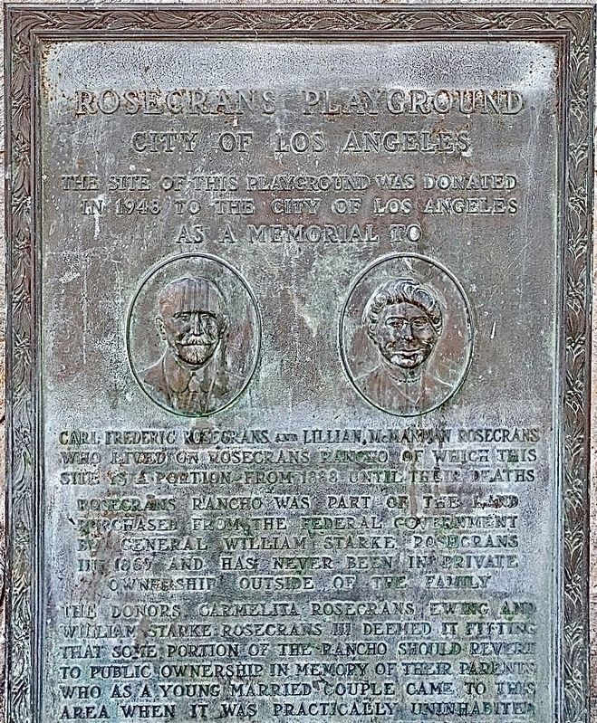
Rosecrans Playground
City of Los Angeles
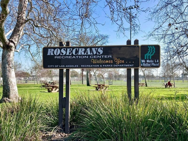
— Rosecrans Recreation Center —
The site of this playground was donated in 1948 to the city of Los Angeles as a memorial to Carl Frederic Rosecrans and Lillian McManman Rosecrans who lived on Rosecrans Rancho, of which this site is a portion, from 1888 until their deaths. Rosecrans Rancho was part of the land purchased from the federal government by General William Starke Rosecrans in 1869 and has never been in private ownership outside of the family. The donors Carmelita Rosecrans Ewing and William Starke Rosecrans deemed it fitting that some portion of the rancho should revert to public ownership in memory of their parents who as a young married couple came to this area when it was practically uninhabited.
Topics. This historical marker is listed in these topic lists: Parks & Recreational Areas • Settlements & Settlers. A significant historical year for this entry is 1948.
Location. 33° 53.804′ N, 118° 17.428′ W. Marker is in Los Angeles, California, in Los Angeles County. It is in Harbor Gateway North. Marker is on West 149th Street west of Vermont Avenue, on the right when traveling west. Touch for map. Marker is at or near this postal address: 840 W 149th St, Gardena CA 90247, United States of America. Touch for directions.
Other nearby markers. At least 8 other markers are within 4 miles of this marker, measured as the crow flies. The Washington Elm (approx. 1.3 miles away); Dr. Charles Sifford (approx. 2.2 miles away); Roosevelt Cemetery Veterans Memorial (approx. 2.2 miles away); Chester Washington Golf Course (approx. 2.3 miles away); PFC James Anderson (approx. 2.6 miles away); Goodyear Historical Sign (approx. 3.3 miles away); Site of the Childhood Home of The Beach Boys (approx. 3.3 miles away); Heritage House (approx. 3.8 miles away). Touch for a list and map of all markers in Los Angeles.
Regarding Rosecrans Playground. In 1906, the City of Los Angeles worked to secure a harbor at San Pedro including creating a sixteen-mile "shoestring district," connecting Los Angeles to the harbor via a narrow piece of land less than a mile wide, allowing for annexation of part of the harbor. This was in accordance with California law, which stipulated that land annexed by a city had to be connected physically to that city. Rosecrans Park is located in the City of Los Angeles "shoestring district."
Credits. This page was last revised on March 23, 2024. It was originally submitted on February 13, 2024, by Craig Baker of Sylmar, California. This page has been viewed 54 times since then. Photos: 1, 2, 3. submitted on February 13, 2024, by Craig Baker of Sylmar, California.


