
Harbor Gateway North in Los Angeles in Los Angeles County, California — The American West (Pacific Coastal)
Roosevelt Cemetery Veterans Memorial
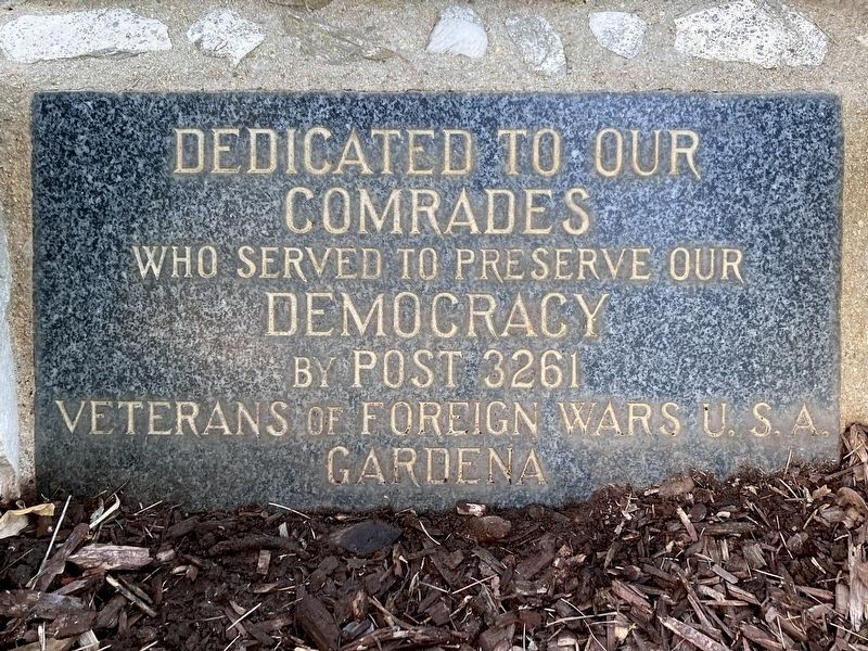
Dedicated to our Comrades
Photographed by Craig Baker, February 12, 2024
1. Veterans Memorial Marker
Dedicated to our comrades who served to preserve our democracy, by Post 3261 Veterans of Foreign Wars U.S.A. Gardena.
Erected by Veterans of Foreign Wars.
Topics. This memorial is listed in this topic list: Military.
Location. 33° 51.873′ N, 118° 17.694′ W. Memorial is in Los Angeles, California, in Los Angeles County. It is in Harbor Gateway North. It can be reached from Normandie Avenue south of 182nd Street. Touch for map. Memorial is at or near this postal address: 18255 Normandie Ave, Gardena CA 90248, United States of America. Touch for directions.

Regionally, this memorial is in California’s Transverse Ranges. It is also on the American Pacific Coast. Globally, it is in North America, on the Ring of Fire, in the Pacific Rim, in the Western Hemisphere, in the Western World, and in the Anglosphere. Historically, it finds itself in what was once New Spain and also Mexico’s Alta California.
Other nearby markers. At least 8 other markers are within 3 miles of this marker, measured as the crow flies: The Washington Elm (approx. 1½ miles
this page online
More about this memorial. Roosevelt Cemetery is located in the Los Angeles "shoestring district." In 1906, the City of Los Angeles worked to secure a harbor at San Pedro including creating a sixteen-mile "shoestring district," connecting Los Angeles to the harbor via a narrow piece of land less than a mile wide, allowing for annexation of part of the harbor. This was in accordance with California law, which stipulated that land annexed by a city had to be connected physically to that city.
Photographed by Craig Baker, February 12, 2024
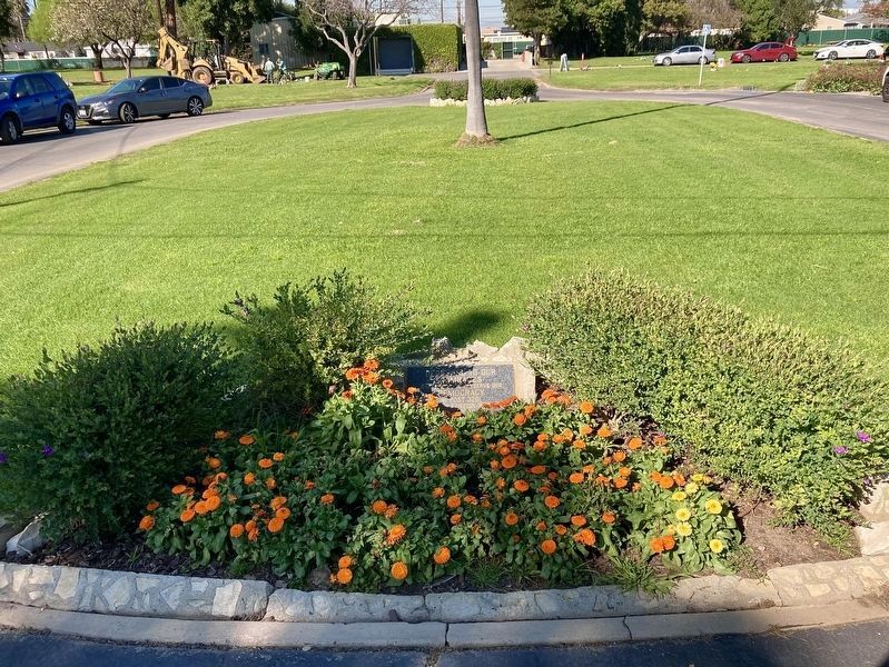
2. Veterans Memorial
The plaque lays flat in the landscaping.
Photographed by Craig Baker, February 12, 2024
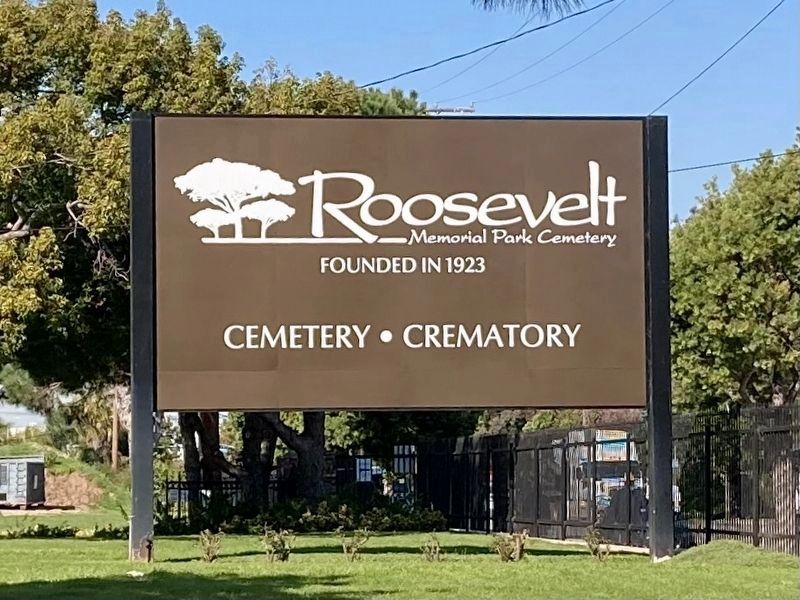
3. Roosevelt Cemetery - Founded 1923
Credits. This page was last revised on June 5, 2024. It was originally submitted on February 13, 2024, by Craig Baker of Sylmar, California. This page has been viewed 265 times since then and 33 times this year. Photos: 1, 2, 3. submitted on February 13, 2024, by Craig Baker of Sylmar, California.
