
Near Cumberland Gap in Claiborne County, Tennessee — The American South (East South Central)
Daniel Boone's Trail
From North Carolina to Kentucky
| — | 1769 | — |
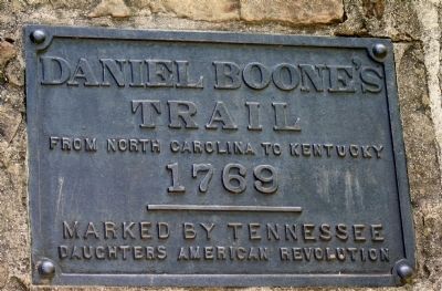
Photographed by Tom Bosse, May 29, 2011
1. Daniel Boone's Trail Marker
Trail
From North Carolina to Kentucky
1769
Marked by Tennessee
Daughters American Revolution
Erected by Tennessee Daughters of the American Revolution (DAR).
Topics and series. This historical marker is listed in these topic lists: Exploration • Settlements & Settlers. In addition, it is included in the Daughters of the American Revolution (DAR) series list. A significant historical year for this entry is 1769.
Location. 36° 36.237′ N, 83° 40.386′ W. Marker is near Cumberland Gap, Tennessee, in Claiborne County. It can be reached from Pinnacle View Road. Touch for map. Marker is in this post office area: Cumberland Gap TN 37724, United States of America. Touch for directions.

Regionally, this marker is in East Tennessee. It is also in the American South, specifically in the Upper South, in Appalachia, and specifically in Southern Appalachia. Globally, it is in North America, the Western Hemisphere, the Western World, and the Anglosphere. Historically, it finds itself in what was once the original Cherokee Nation, the territory of the Mississippian Culture, one of the
this page online
Other nearby markers. At least 8 other markers are within walking distance of this marker: A different marker also named Daniel Boone's Trail (within shouting distance of this marker in Kentucky); a different marker also named Daniel Boone's Trail (within shouting distance of this marker in Kentucky); Daniel Boone Trail (within shouting distance of this marker in Kentucky); Leave Nothing Useful Behind (within shouting distance of this marker in Kentucky); Indian Rock (about 400 feet away, measured in a direct line in Kentucky); Hard Road to a New Life (approx. 0.2 miles away in Virginia); An Object Lesson Road (approx. 0.2 miles away in Kentucky); Warriors' Path (approx. 0.2 miles away in Virginia).
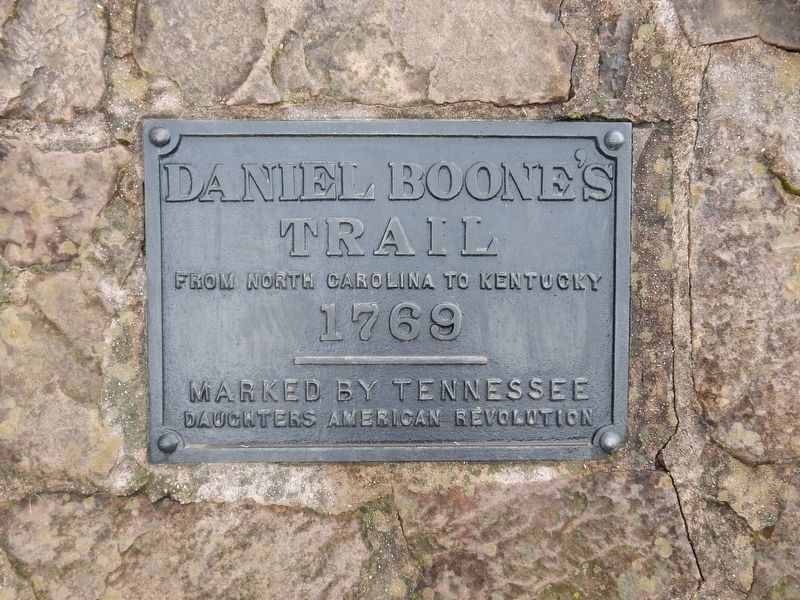
Courtesy of Thomas P. Martin, March 14, 2016
2. Daniel Boone's Trail Marker
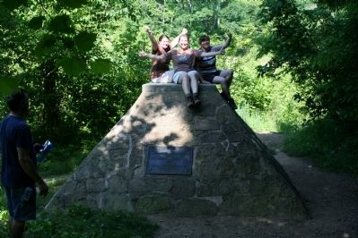
Photographed by Tom Bosse, May 29, 2011
3. Daniel Boone's Trail Marker
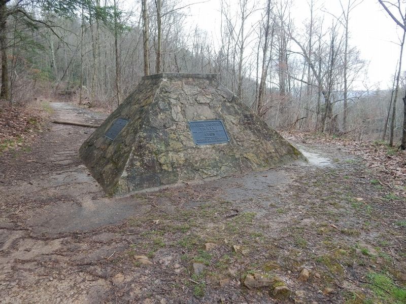
Courtesy of Thomas P. Martin, March 14, 2016
4. Daniel Boone's Trail Marker
Credits. This page was last revised on January 19, 2025. It was originally submitted on January 11, 2015, by Tom Bosse of Jefferson City, Tennessee. This page has been viewed 1,310 times since then and 31 times this year. Last updated on February 15, 2024, by Carolyn Sanders of Plano, Texas. Photos: 1. submitted on January 11, 2015, by Tom Bosse of Jefferson City, Tennessee. 2. submitted on December 15, 2021, by Duane and Tracy Marsteller of Murfreesboro, Tennessee. 3. submitted on January 11, 2015, by Tom Bosse of Jefferson City, Tennessee. 4. submitted on December 15, 2021, by Duane and Tracy Marsteller of Murfreesboro, Tennessee. • James Hulse was the editor who published this page.
