Sandusky in Erie County, Ohio — The American Midwest (Great Lakes)
Kilbourne Plat
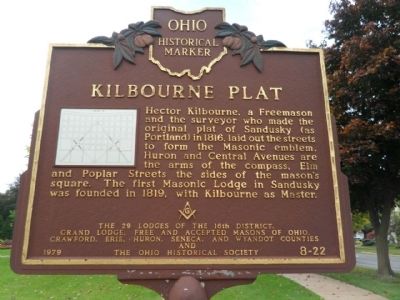
Photographed by Denise Boose, October 16, 2014
1. Kilbourne Plat Marker
Erected 1979 by The 29 Lodges of the 16th District, Grand Lodge, Free and Accepted Masons of Ohio, Crawford, Erie, Huron, Seneca, and Wyandot Counties and The Ohio Historical Society. (Marker Number 8-22.)
Topics and series. This historical marker is listed in this topic list: Settlements & Settlers. In addition, it is included in the Ohio Historical Society / The Ohio History Connection series list. A significant historical year for this entry is 1816.
Location. 41° 27.317′ N, 82° 42.566′ W. Marker is in Sandusky, Ohio, in Erie County. It is on Washington Street east of Wayne Street, on the right when traveling east. Located in the park next to the Grace Episcopal Church. Touch for map. Marker is at or near this postal address: Washington Streets, Sandusky OH 44870, United
this page online

Regionally, this marker is on Ohio’s Lake Erie Shore and in the Western Reserve. It is also in the American Midwest and in the Corn Belt. Globally, it is in North America, on the Great Lakes, in the Western Hemisphere, in the Western World, and in the Anglosphere. Historically, it finds itself in what was once the Haudenosaunee (Iroquois) Confederacy, the territory of the Mississippian Culture, and the Northwest Territory.
Other nearby markers. At least 8 other markers are within walking distance of this marker: Grace Episcopal Church (within shouting distance of this marker); This Concretion (within shouting distance of this marker); John F. Kennedy's Inaugural Address (within shouting distance of this marker); Surrender - World War II (within shouting distance of this marker); Perry's Monument (within shouting distance of this marker); The Gettysburg Address (within shouting distance of this marker); Emancipation Proclamation (within shouting distance of this marker); "The Star Spangled Banner" (within shouting distance of this marker). Touch for a list and map of all
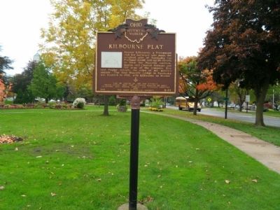
Photographed by Denise Boose, October 16, 2014
2. Kilbourne Plat Marker
More about this marker. The text repeats itself on the opposite side of the marker.
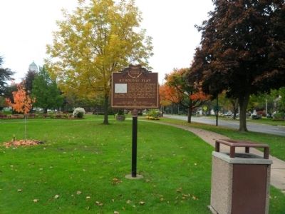
Photographed by Denise Boose, October 16, 2014
3. Kilbourne Plat Marker
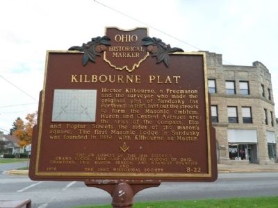
Photographed by Denise Boose, October 16, 2014
4. Kilbourne Plat Marker
Opposite side of the marker.
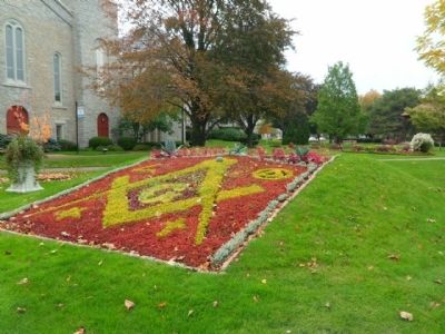
Photographed by Denise Boose, October 16, 2014
5. Kilbourne Plat Marker
Credits. This page was last revised on February 29, 2024. It was originally submitted on November 23, 2014, by Denise Boose of Tehachapi, California. This page has been viewed 1,718 times since then and 82 times this year. Last updated on February 15, 2024, by Carl Gordon Moore Jr. of North East, Maryland. Photos: 1, 2, 3, 4, 5. submitted on November 23, 2014, by Denise Boose of Tehachapi, California. • J. Makali Bruton was the editor who published this page.
