Amboy in San Bernardino County, California — The American West (Pacific Coastal)
Trails and Rails Through the Mojave Desert
Inscription.
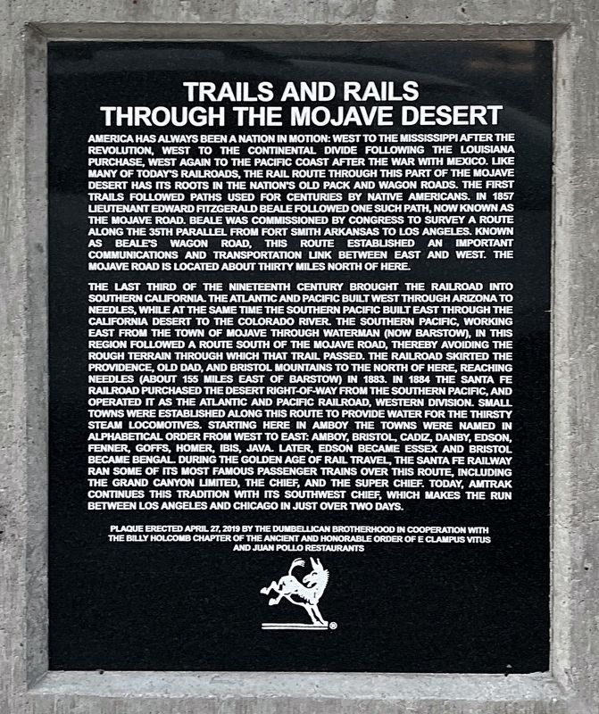
America has always been a nation in motion: west to the Mississippi after the Revolution, west to the Continental Divide Following the Louisiana Purchase, West again to the Pacific Coast after the War with Mexico. Like many of today's railroads, the rail route though this part of the Mojave Desert has its roots in the nation's old pack and wagon roads. The first trails followed paths used for centuries by Native Americans. In 1857 Lieutenant Edward Fitzgerald Beale followed one such path, now known as the Mojave Road. Beale was commissioned by Congress to survey a route along the 35th parallel from Fort Smith Arkansas to Los Angeles. Known as Beale’s Wagon Road, this route established an important communications and transportation link between east and west. The Mojave Road is located about thirty miles north of here.
The last third of the nineteenth century brought the railroad into Southern California. The Atlantic and Pacific built west through Arizona to Needles, while at the same time the Southern Pacific built east through the California Desert to the Colorado River. The Southern Pacific, working east from the town of Mojave through Waterman (now Barstow), in this region followed a route south of the Mojave Road, thereby avoiding the rough terrain through which that trail passed. The railroad skirted the Providence, Old Dad, and Bristol Mountains to the north of here, reaching Needles (about 155 miles east of Barstow) in 1883. In 1884 the Santa Fe Railroad purchased desert right-of-way from the Southern Pacific, and operated it as the Atlantic and Pacific Railroad, Western Division. Small towns were established along this route to provide water for the thirsty steam locomotives. Starting here in Amboy the towns were named in alphabetical order from wast to east: Amboy, Bristol, Cadiz, Danby, Edison, Fenner, Goffs, Homer, Ibis, Java. Later, Edison became Essex and Bristol became Bengal. During the golden age of rail travel, the Santa Fe Railroad ran some of its most famous passenger trains over this route, including the Grand Canyon Limited, The Chief, and the Super Chief. Today, Amtrak continues this tradition with its Southwest Chief, which makes the run between Los Angeles and Chicago in just over two days.
Erected 2019 by E Clampus Vitus Billy Holcomb Chapter, Dumbellican Brotherhood, Juan Pollo Restaurants.
Topics and series. This historical marker is listed in these topic lists: Railroads & Streetcars • Roads & Vehicles. In addition, it is included in the E Clampus Vitus series list. A significant historical year for this entry is 1857.
Location. 34° 33.523′ N, 115° 44.604′ W. Marker is in
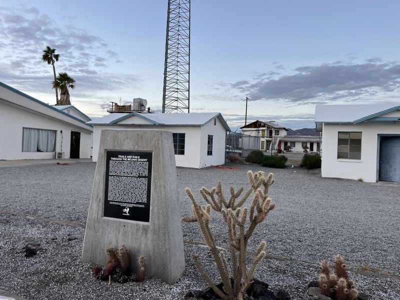
Amboy, California, in San Bernardino County. Marker is on National Trails Highway, on the right when traveling west. The marker is on the grounds of Roy's Motel & Cafe. Touch for map. Marker is at or near this postal address: 87520 National Trails Highway, Amboy CA 92304, United States of America. Touch for directions.
Other nearby markers. At least 6 other markers are within 12 miles of this marker, measured as the crow flies. Route 66, Amboy, California (within shouting distance of this marker); Amboy and Roy's Café (within shouting distance of this marker); Amboy Crater (approx. 2.1 miles away); Hallowed Ground (approx. 7.8 miles away); Route 66 Roadside Service Areas: Road Runner’s Retreat (approx. 9.6 miles away); Old Route 66 (approx. 11.3 miles away).
Credits. This page was last revised on February 20, 2024. It was originally submitted on February 16, 2024, by Adam Margolis of Mission Viejo, California. This page has been viewed 123 times since then. Photos: 1, 2. submitted on February 16, 2024, by Adam Margolis of Mission Viejo, California. • Andrew Ruppenstein was the editor who published this page.

