Fort Mitchell in Russell County, Alabama — The American South (East South Central)
Fort Mitchell
National Historic Landmark
Photographed by Mark Hilton, February 16, 2024
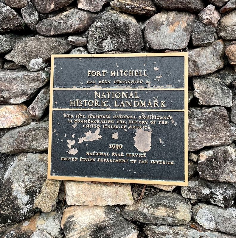
1. Fort Mitchell Marker
Fort Mitchell has been designated a National Historic Landmark. This site possesses national significance in commemorating the history of the United States of America.
National Park Service - United States Department of the Interior - 1990
Topics and series. This historical marker is listed in this topic list: Forts and Castles. In addition, it is included in the National Historic Landmarks series list. A significant historical year for this entry is 1990.
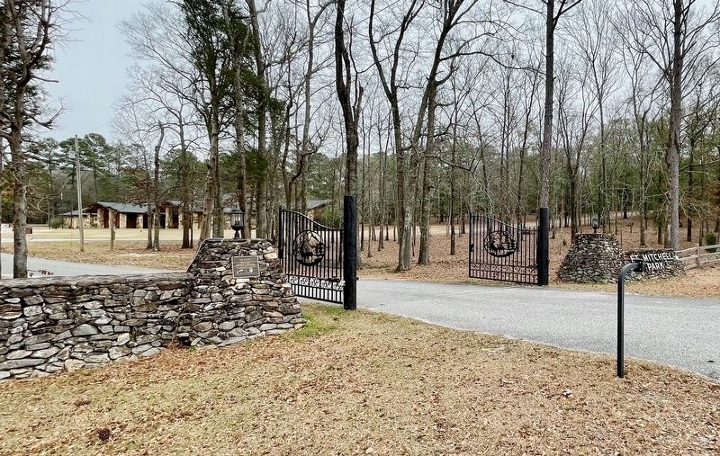
Location. 32° 20.742′ N, 85° 1.416′ W. Marker is in Fort Mitchell, Alabama, in Russell County. It is on Alabama Route 165, on the right when traveling north. Located at entrance to the Fort Mitchell Historic Site. Touch for map. Marker is at or near this postal address: 561 AL-165, Fort Mitchell AL 36856, United States of America. Touch for directions.

Regionally, this marker is in Greater Columbus. It is also in the American South, specifically in the Deep South, and in the Black Belt. Globally, it is in North America, a Gulf of Mexico state, the Western Hemisphere, the Western World, and the Anglosphere. Historically, it finds itself in what was once
this page online
Other nearby markers. At least 8 other markers are within walking distance of this marker: Crowell-Whitaker 1840 Log Cabin (within shouting distance of this marker); a different marker also named Fort Mitchell (about 300 feet away, measured in a direct line); Removal of the Creeks (about 700 feet away); The Creek Trail of Tears (about 700 feet away); The Creeks Today (about 700 feet away); Creek Towns (approx. 0.2 miles away); Cultural Exchange and Cooperation (approx. 0.2 miles away); The Census of 1832 (approx. 0.2 miles away). Touch for a list and map of all markers in Fort Mitchell.
Also see . . . Wikipedia article on Fort Mitchell. (Submitted on February 16, 2024, by Mark Hilton of Montgomery, Alabama.)
Photographed by Mark Hilton, February 16, 2024
2. Fort Mitchell Marker
Photographed by Mark Hilton, February 16, 2024
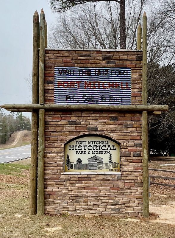
3. Fort Mitchell Marker
Credits. This page was last revised on July 16, 2025. It was originally submitted on February 16, 2024, by Mark Hilton of Montgomery, Alabama. This page has been viewed 273 times since then and 24 times this year. Photos: 1, 2, 3. submitted on February 16, 2024, by Mark Hilton of Montgomery, Alabama.
