Islamorada in Monroe County, Florida — The American South (South Atlantic)
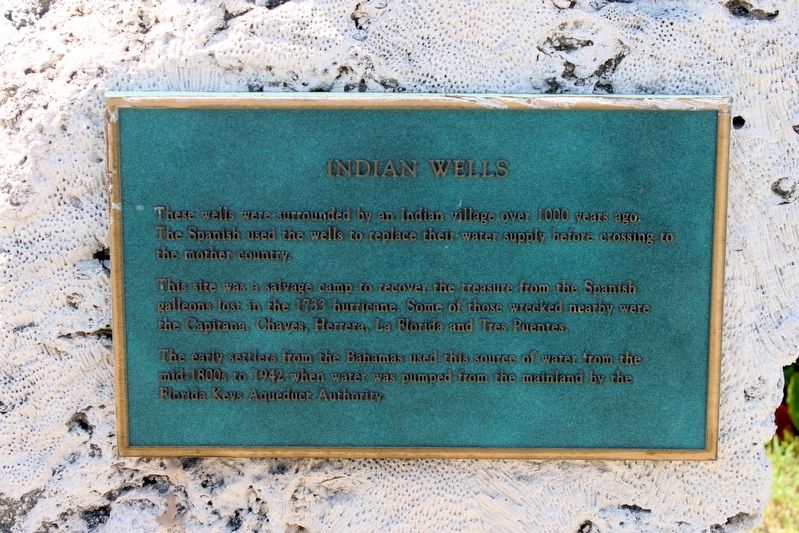
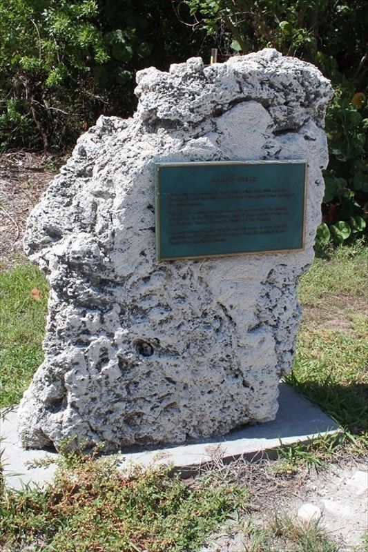
Indian Wells
This site was a salvage camp to recover the treasure from the Spanish galleons lost in the 1733 hurricane. Some of those wrecked nearby were the Capitana, Chaves, Herrera, La Florida and Tres Puentes.
The early settlers from the Bahamas used this source of water from the mid 1800s to 1942 when water was pumped from the mainland by the Florida Keys Aqueduct Authority.
Erected by Heritage Monument Trail Islamorada.
Topics. This historical marker is listed in these topic lists: Exploration • Settlements & Settlers • Waterways & Vessels. A significant historical year for this entry is 1733.
Location. 24° 56.226′ N, 80° 36.816′ W. Marker is in Islamorada, Florida, in Monroe County. Marker is on Overseas Highway (U.S. 1) 0.1 miles north of Park Road, on the left when traveling north. Touch for map. Marker is in this post office area: Islamorada FL 33036, United States of America. Touch for directions.
Other nearby markers. At least 8 other markers are within 2 miles of this marker, measured as the crow flies. Site of Islamorada Railway Station (approx. 0.8 miles away); The Spanish Treasure Fleets (approx. 1.1 miles away); The Early Settlers of Upper Matecumbe Key (approx. 1.1 miles away); Geological History of the Florida Keys (approx. 1.1 miles away); Native Americans (approx. 1.1 miles away); The Florida Keys Memorial (approx. 1.1 miles away); The Railway That Went To Sea (approx. 1.1 miles away); The Storm that Still Howls (approx. 1.1 miles away). Touch for a list and map of all markers in Islamorada.
Credits. This page was last revised on February 18, 2024. It was originally submitted on October 28, 2022, by Tim Fillmon of Webster, Florida. This page has been viewed 130 times since then and 20 times this year. Last updated on February 16, 2024, by Darren Jefferson Clay of Duluth, Georgia. Photos: 1, 2. submitted on October 28, 2022, by Tim Fillmon of Webster, Florida. • Bernard Fisher was the editor who published this page.

