Wildwood in St. Louis County, Missouri — The American Midwest (Upper Plains)
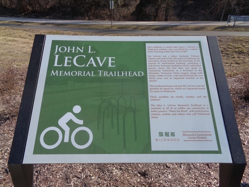
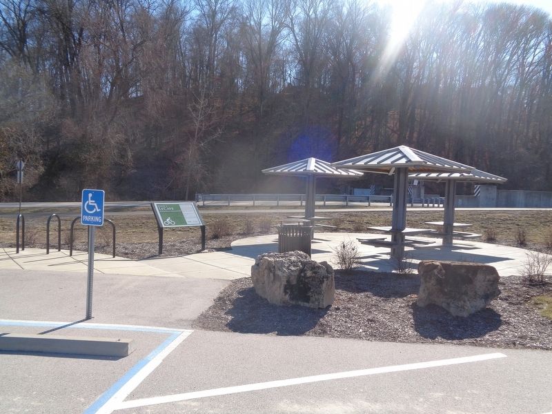
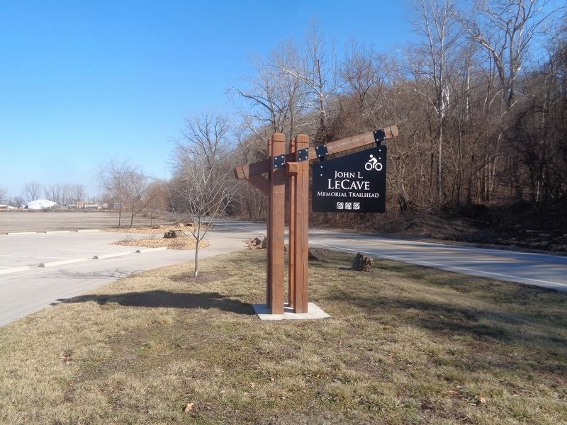
John L. LeCave Memorial Trailhead
Mr. LeCave was a father, husband, Vietnam veteran, and avid cyclist. His career in banking was innovative, being credited as the developer of the concept of 'supermarket banking,' providing a full-service financial institution inside individual grocery stores. His free time was spent on community betterment, as a President of the Memphis, Tennessee Urban League, along with being a father of four, a devoted husband for over thirty years, and an important member of the church.
This trailhead honors not just Mr. LeCave, but the qualities he stood for, which are important tenets for many in Wildwood.
Those qualities are family, country, and the outdoors.
The John L. LeCave Memorial Trailhead is a reminder to all of us within our community to better practice "Share the Road" with pedestrians, runners, cyclists, and others who call Wildwood home.
Erected by City of Wildwood and Monarch-Chesterfield Levee District.
Topics. This historical marker is listed in these topic lists: Parks & Recreational Areas • War, Vietnam. A significant historical year for this entry is 1997.
Location. 38° 38.879′ N, 90° 41.262′ W. Marker is in Wildwood, Missouri, in St. Louis County. Marker is on Centaur Road, 0.9 miles west of Eatherton Road, on the right when traveling west. Touch for map. Marker is at or near this postal address: 18465 Centaur Rd, Chesterfield MO 63005, United States of America. Touch for directions.
Other nearby markers. At least 8 other markers are within 4 miles of this marker, measured as the crow flies. Historic Centaur (approx. 0.7 miles away); Historic Monarch (approx. 0.8 miles away); Historic Orrville (approx. 1.7 miles away); Doctor Edmund A. Babler (approx. 2.1 miles away); Historic Kelpe (approx. 2.8 miles away); Weldon Spring to Greens Bottom (approx. 3.2 miles away); Weldon Spring Site (approx. 3.2 miles away); Weldon Spring to Matson (approx. 3.3 miles away). Touch for a list and map of all markers in Wildwood.
Credits. This page was last revised on February 17, 2024. It was originally submitted on February 17, 2024, by Jason Voigt of Glen Carbon, Illinois. This page has been viewed 46 times since then. Photos: 1, 2, 3. submitted on February 17, 2024, by Jason Voigt of Glen Carbon, Illinois.


