Visalia in Tulare County, California — The American West (Pacific Coastal)
Hugh Michael Mooney
(1864-1934)
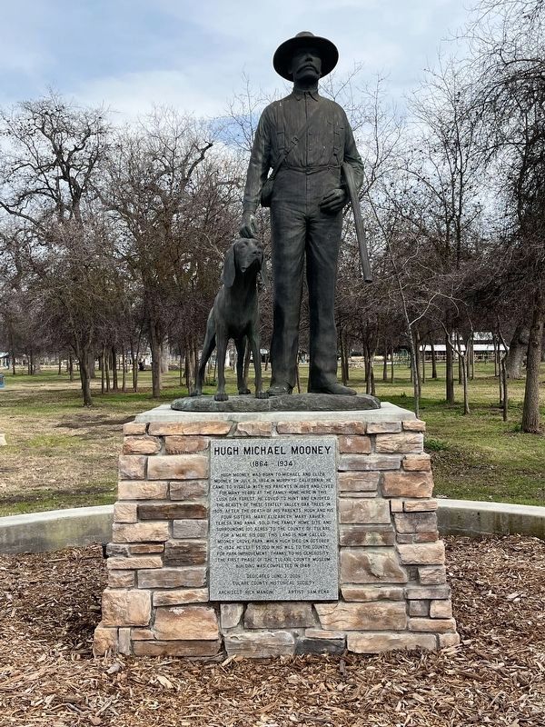
Photographed by Patrick Duggan, February 16, 2024
1. Hugh Michael Mooney Marker
Erected by Tulare County Historical Society.
Topics. This historical marker is listed in this topic list: Charity & Public Work. A significant historical date for this entry is July 31, 1864.
Location. 36° 16.755′ N, 119° 18.593′ W. Marker is in Visalia, California, in Tulare County. It can be reached from South Mooney Boulevard. Located at Mooney Grove Park. Touch for map. Marker is at or near this postal
this page online

Regionally, this marker is in California’s San Joaquin Valley, specifically in the Central Valley, and in the Sierra Nevada. It is also on the American Pacific Coast. Globally, it is in North America, on the Ring of Fire, on the Pacific Rim, in the Western Hemisphere, in the Western World, and in the Anglosphere. Historically, it finds itself in what was once New Spain and also Mexico’s Alta California.
Other nearby markers. At least 8 other markers are within 4 miles of this marker, measured as the crow flies: World’s First Self-Propelled Combine (about 300 feet away, measured in a direct line); End of the Trail (approx. 0.2 miles away); Mooney Grove Park Boy Scout Cabin (approx. ¼ mile away); S. Sweet & Company (approx. 3.7 miles away); Butterfield Overland Mail (approx. 3.7 miles away); Cross Building (approx. 3.7 miles away); Palace Hotel Building (approx. 3.7 miles away); Bank of Italy (approx. 3.7 miles away). Touch for a list and map of all markers in Visalia.
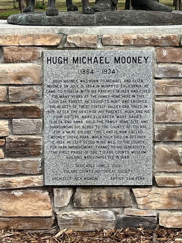
Photographed by Patrick Duggan, February 16, 2024
2. Hugh Michael Mooney Marker
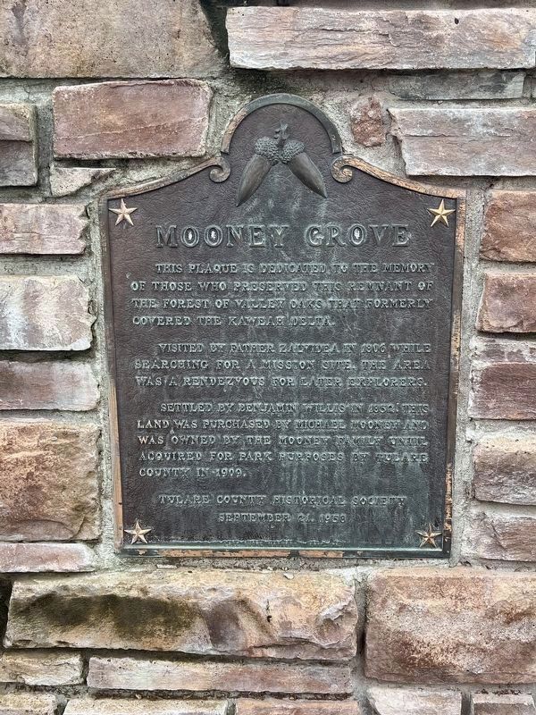
Photographed by Patrick Duggan, February 16, 2024
3. Hugh Michael Mooney Marker
Mooney Grove
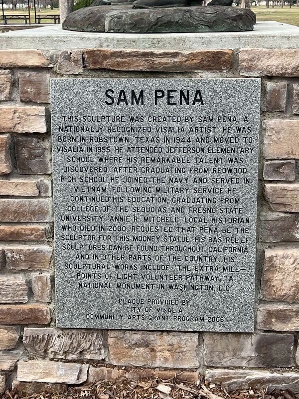
Photographed by Patrick Duggan, February 16, 2024
4. Hugh Michael Mooney Marker
Sam Pena
Credits. This page was last revised on June 9, 2026. It was originally submitted on February 17, 2024, by Patrick Duggan of Los Angeles, California. This page has been viewed 889 times since then and 136 times this year. Photos: 1, 2, 3, 4. submitted on February 17, 2024, by Patrick Duggan of Los Angeles, California. • Bill Pfingsten was the editor who published this page.
