Near Middlesboro in Bell County, Kentucky — The American South (East South Central)
Wilderness Road
Then and Now
— Cumberland Gap National Historical Park —
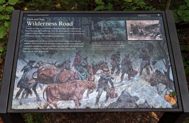
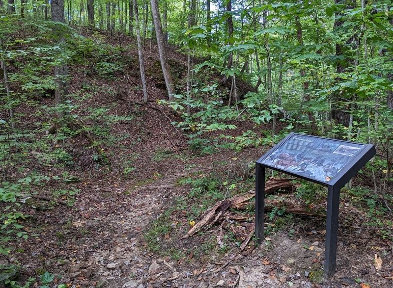
It will be 100 years or more before Cumberland Gap's restored Wilderness Road trail looks like it did in 1780–1810. The short segment of trail ahead is one of the few places where you can still see the original roadbed, unaltered by the earthmovers of 20th-century highway construction.
Most people today would not consider the ancient buffalo trace that early explorers followed north into Kentucky a proper road. For most of the 1700s it was fit for packhorses and foot travelers only. Only after 1796 was the track widened and improved enough so that horse-drawn wagons could haul a ton of cargo up this grade.
[Captions:]
Late 18th-century travelers saw vast stands of thick oaks, beeches, hickories, chestnuts, and maples along the way. Old hardwood forests are virtually unknown in Appalachia today. This photo of Blanton Forest shows one of the few places in Kentucky that has never been logged.
Wilderness Road here at Cumberland Gap, the Kentucky side, late 1800s
Erected by National Park Service, U.S. Department of the Interior.
Topics. This historical marker is listed in these topic lists: Roads & Vehicles • Settlements & Settlers. A significant historical year for this entry is 1780.
Location. 36° 36.303′ N, 83° 40.858′ W. Marker is near Middlesboro, Kentucky, in Bell County. Marker can be reached from Pinnacle View Road. Marker is a wayside exhibit on the Wilderness Road Trail about three quarters of a mile beyond its intersection with the Thomas Walker Trail, which is most readily accessible from the Thomas Walker Parking Area. Touch for map. Marker is in this post office area: Middlesboro KY 40965, United States of America. Touch for directions.
Other nearby markers. At least 8 other markers are within walking distance of this marker. Warriors' Path (approx. ¼ mile away); An Object Lesson Road (approx. 0.3 miles away); a different marker also named An Object Lesson Road (approx. 0.3 miles away); Two-Way Traffic (approx. 0.3 miles away); Cumberland Gap / Grant Visits Cumberland Gap (approx. 0.3 miles away); A Masterful Retreat (approx. 0.3 miles away); Indian Rock (approx. 0.4 miles away); Leave Nothing Useful Behind (approx. 0.4 miles away). Touch for a list and map of all markers in Middlesboro.
Credits. This page was last revised on February 26, 2024. It was originally submitted on October 9, 2022. This page has been viewed 111 times since then and 21 times this year. Last updated on February 18, 2024. Photos: 1, 2. submitted on October 9, 2022. • Devry Becker Jones was the editor who published this page.

