Visalia in Tulare County, California — The American West (Pacific Coastal)
End of the Trail
James Earle Fraser
| — | 1876 - 1953 | — |
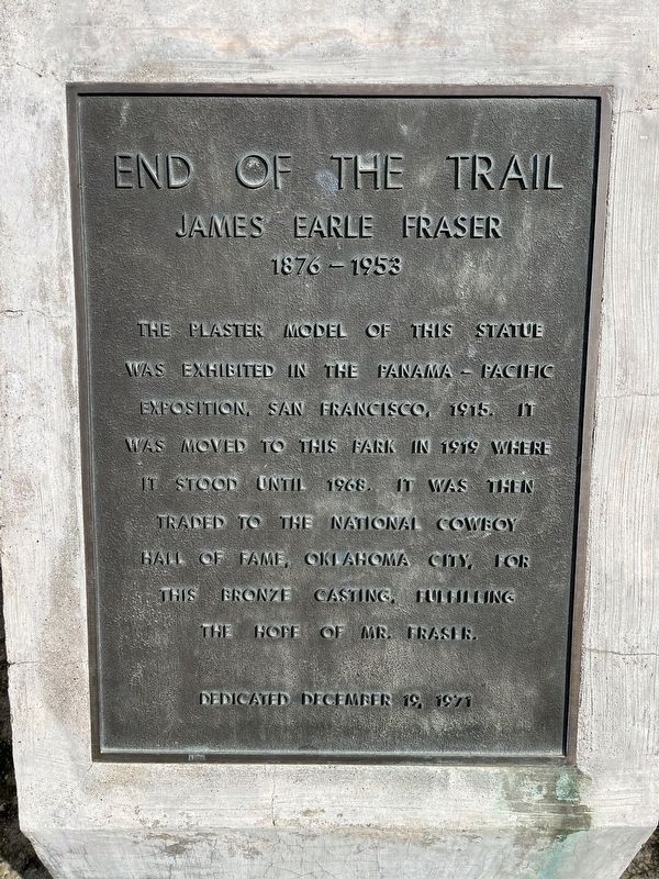
Photographed by Patrick Duggan, February 16, 2024
1. End of the Trail Marker
The plaster model of this statue was exhibited in the Panama-Pacific Exposition, San Francisco, 1915. It was moved to this park in 1919 where it stood until 1968. It was then traded to the National Cowboy Hall of Fame, Oklahoma City, for this bronze casting, fulfilling the hope of Mr. Fraser.
Dedicated December 19, 1971
Topics. This historical marker is listed in these topic lists: Arts, Letters, Music • Indigenous Peoples and Communities.
Location. 36° 16.712′ N, 119° 18.77′ W. Marker is in Visalia, California, in Tulare County. It is on South Mooney Boulevard north of A Street, on the right when traveling north. Located on the western edge of Mooney Grove Park. Touch for map. Marker is in this post office area: Visalia CA 93277, United States of America. Touch for directions.

Regionally, this marker is in California’s San Joaquin Valley, specifically in the Central Valley, and in the Sierra Nevada. It is also on the American Pacific Coast. Globally, it is in North America, on the Ring of Fire, in the Pacific Rim, in the Western Hemisphere,
this page online
Other nearby markers. At least 8 other markers are within 4 miles of this marker, measured as the crow flies: World’s First Self-Propelled Combine (approx. 0.2 miles away); Hugh Michael Mooney (approx. 0.2 miles away); Mooney Grove Park Boy Scout Cabin (approx. 0.4 miles away); S. Sweet & Company (approx. 3.8 miles away); Butterfield Overland Mail (approx. 3.8 miles away); Cross Building (approx. 3.8 miles away); Palace Hotel Building (approx. 3.8 miles away); Bank of Italy (approx. 3.8 miles away). Touch for a list and map of all markers in Visalia.
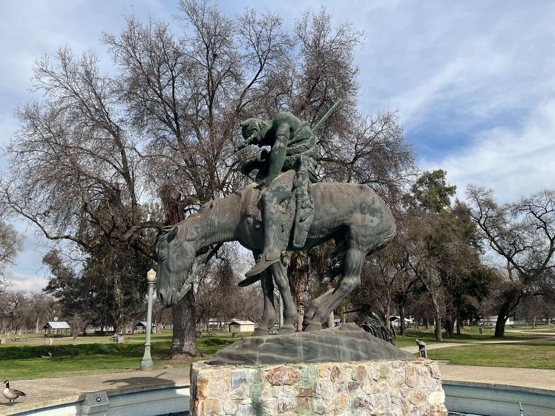
Photographed by Patrick Duggan, February 16, 2024
2. End of the Trail Statue
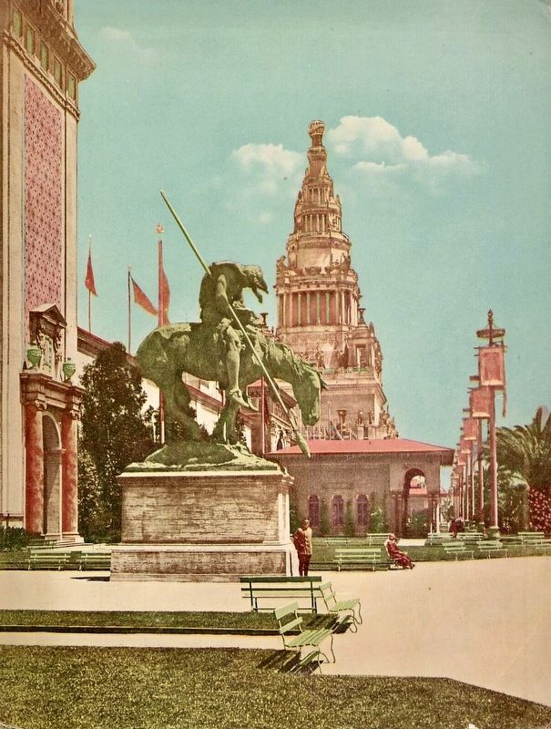
Photographed by Bardell Art Printing Co., San Francisco, 1915
3. End of the Trail Staue and the Tower of Jewels…
at the Pan-Pacific International Exhibition in San Francisco, 1915.
Credits. This page was last revised on June 9, 2026. It was originally submitted on February 18, 2024, by Patrick Duggan of Los Angeles, California. This page has been viewed 453 times since then and 65 times this year. Photos: 1, 2. submitted on February 18, 2024, by Patrick Duggan of Los Angeles, California. 3. submitted on February 18, 2024. • Andrew Ruppenstein was the editor who published this page.
