Alphabet City in Manhattan in New York County, New York — The American Northeast (Mid-Atlantic)
Joseph C. Sauer Park
What was here before?
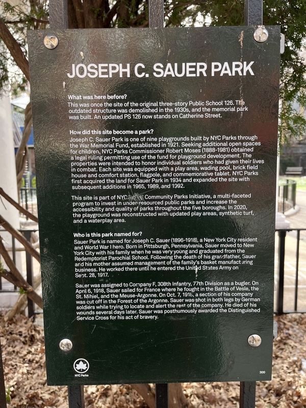
This was once the site of the original three-story Public School 126. The outdated structure was demolished in the 1930s, and the memorial park was built. An updated PS 126 ow stands on Catherine Street.
How did this site become a park?
Joseph C. Sauer Park is one of nine playgrounds built by NYC Parks Commissioner Robert Moses (1888-1981) obtained a legal ruling permitting use of the fund for playground development. The properties were intended to honor individual soldiers who had given their lives in combat. Each site was equipped with a play area, wading pool, brick field house and comfort station, flagpole, and commemorative tablet. NYC Parks first acquired the land for Sauer Park in 1934 and expanded the site with subsequent additions in 1965, 1989, and 1992.
This site is part of NYC Parks Community Parks Initiative, a multi-faceted program to invest in under-resourced public parks and increase the accessibility and quality of parks throughout the five boroughs. In 2020, the playground was reconstructed with updated play areas, synthetic turf, and a waterplay area.
Who is this park named for?
Sauer Park is named for Joseph C. Sauer (1896-1918), a New York City resident and World War I hero. Born in Pittsburgh, Pennsylvania, Sauer moved to New York City and his family when he was very young and graduated from the Redemptorist Parochial School. Following the death of his grandfather, Sauer and his mother assumed management of the family's basket manufacturing business. He worked there until he entered the United States Army on Sept. 28, 1917.
Sauer was assigned to Company F, 308th Infantry, 77th Division as a bugler. On April 6, 1918, Sauer sailed for France where he fought in the Battle of Vesle, the St. Mihiel, and the Meuse-Argonne. On Oct. 7, 1918, a section of his company was cut off in the Forest of the Argonne. Sauer was shot in both legs by German soldiers while trying to locate and alert the rest of the company. He died of his wounds several days later. Sauer was posthumously awarded the Distinguished Service Cross for his act of bravery.
Erected by NYC Parks. (Marker Number 300.)
Topics and series. This historical marker is listed in these topic lists: Education • Heroes • Parks & Recreational Areas • War, World I. In addition, it is included in the Distinguished Service Cross/Navy Cross/Air Force Cross Recipients, and the NYC Parks series lists. A significant historical date for this entry is April 6, 1918.
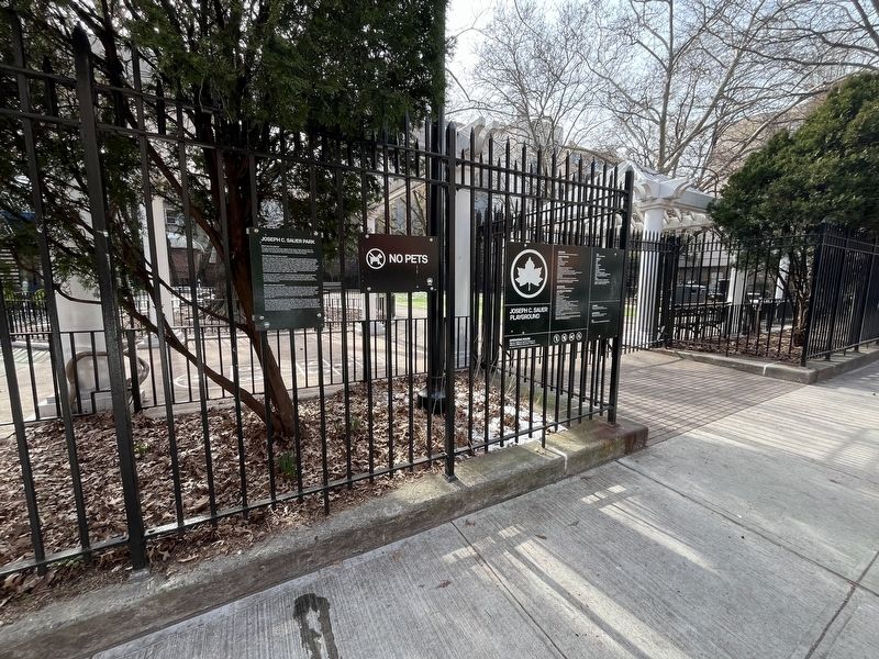
Location. 40° 43.7′ N, 73° 58.776′ W. Marker is in Manhattan, New York
Other nearby markers. At least 8 other markers are within walking distance of this marker. Charlie Parker Residence (about 700 feet away, measured in a direct line); Slocum Memorial Fountain (about 700 feet away); Harry Lloyd Hopkins (about 700 feet away); Tompkins Square Park (about 800 feet away); Ukrainian-American Flagstaff (about 800 feet away); Frank O'Hara (1926-1966) (approx. 0.2 miles away); General Milan Stefanik (approx. 0.2 miles away); La Plaza Cultural Land Acknowledgement (approx. 0.2 miles away). Touch for a list and map of all markers in Manhattan.
Credits. This page was last revised on February 19, 2024. It was originally submitted on February 19, 2024, by Devry Becker Jones of Washington, District of Columbia. This page has been viewed 38 times since then. Photos: 1, 2. submitted on February 19, 2024, by Devry Becker Jones of Washington, District of Columbia.

