Manor in Ware County, Georgia — The American South (South Atlantic)
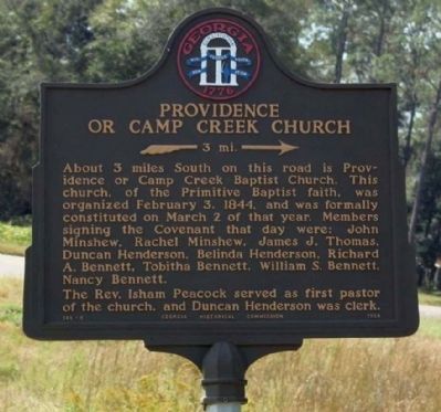
Providence Or Camp Creek Church
»— 3 mi. —→
Photographed by Mike Stroud, 2009
1. Providence Or Camp Creek Church Marker
The Rev. Isham Peacock served as first pastor of the church, and Duncan Henderson was clerk.
Erected 1958 by Georgia Historical Commission. (Marker Number 148-5.)
Topics and series. This historical marker is listed in this topic list: Religion & Religious Structures. In addition, it is included in the Georgia Historical Society series list. A significant historical date for this entry is February 3, 1951.
Location. 31° 6.114′ N, 82° 34.926′ W. Marker is in Manor, Georgia, in Ware County. It is at the intersection of Valdosta Highway (U.S. 84) and Jim Mixon Road, on the right when traveling west on Valdosta Highway. Touch for map. Marker is in this post office area: Manor GA 31550, United States of America. Touch for directions.

Regionally,
this page online
Other nearby markers. At least 2 other markers are within 11 miles of this marker, measured as the crow flies: Clinch County World War II Memorial (approx. 10.8 miles away); Clinch Court House (approx. 10.8 miles away).
Photographed by Mike Stroud, October 29, 2009
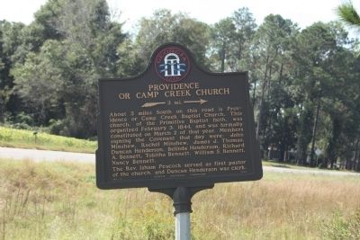
2. Providence Or Camp Creek Church Marker
Photographed by Mike Stroud, October 29, 2009
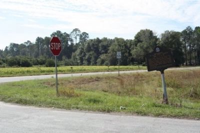
3. Providence Or Camp Creek Church Marker
At the intersection Jim Mixon Road and Valdosta Highway (US 84, State Road 38)
Photographed by Mike Stroud, October 29, 2009
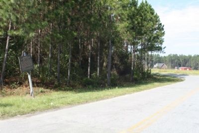
4. Providence Or Camp Creek Church Marker looking along Jim Mixon Road
Credits. This page was last revised on June 16, 2016. It was originally submitted on November 3, 2009, by Mike Stroud of Bluffton, South Carolina. This page has been viewed 1,137 times since then and 51 times this year. Last updated on November 6, 2009, by David Seibert of Sandy Springs, Georgia. Photos: 1. submitted on April 11, 2011, by Mike Stroud of Bluffton, South Carolina. 2, 3, 4. submitted on November 3, 2009, by Mike Stroud of Bluffton, South Carolina. • Kevin W. was the editor who published this page.
