Cumberland Township near Gettysburg in Adams County, Pennsylvania — The American Northeast (Mid-Atlantic)
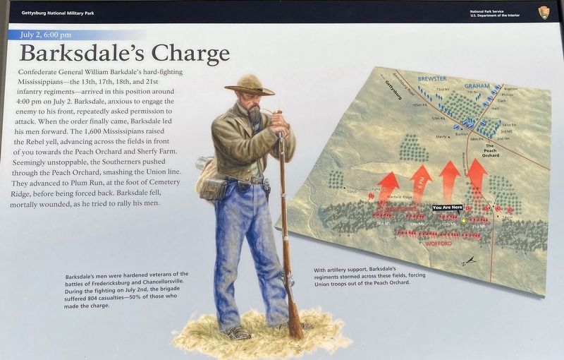
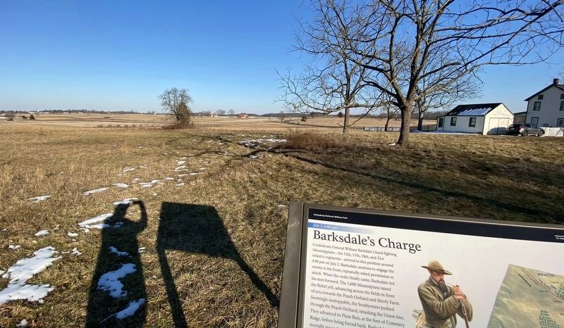
Barksdale’s Charge
July 2, 6:00 pm
— Gettysburg National Military Park —
(captions)
Barksdale’s men were hardened veterans of the battles of Fredericksburg and Chancellorsville. During the fighting on July 2nd, the brigade suffered 804 casualties—50% of those who made the charge.
With artillery support, Barksdale's regiments stormed across these fields, forcing Union troops out of the Peach Orchard.
Erected 2024 by National Park Service, U.S. Department of the Interior.
Topics. This historical marker is listed in this topic list: War, US Civil. A significant historical date for this entry is July 2, 1863.
Location. 39° 48.144′ N, 77° 15.346′ W. Marker is near Gettysburg, Pennsylvania, in Adams County. It is in Cumberland Township. Marker is on West Confederate Avenue north of Millerstown Road, on the left when traveling south. Marker is just behind the Mississippi State Monument, at Auto Tour Stop 6. Touch for map. Marker is at or near this postal address: 115 W Confederate Ave, Gettysburg PA 17325, United States of America. Touch for directions.
Other nearby markers. At least 8 other markers are within walking distance of this marker. Mississippi (a few steps from this marker); The Brooks Artillery (within shouting distance of this marker); Miller's Battery - Eshleman's Battalion (within shouting distance of this marker); Barksdale's Brigade (within shouting distance of this marker); Squires's Battery - Eshleman's Battalion (within shouting distance of this marker); Louisiana State Memorial (within shouting distance of this marker); Madison Light Artillery (within shouting distance of this marker); Wofford's Brigade (within shouting distance of this marker). Touch for a list and map of all markers in Gettysburg.
Related marker. Click here for another marker that is related to this marker. Old Marker At This Location also titled "Barksdale Charge".
Also see . . . Gettysburg National Military Park. National Park Service (Submitted on February 22, 2024.)
Credits. This page was last revised on February 22, 2024. It was originally submitted on February 19, 2024, by Karl Stelly of Gettysburg, Pennsylvania. This page has been viewed 67 times since then. Photos: 1, 2. submitted on February 19, 2024, by Karl Stelly of Gettysburg, Pennsylvania. • Bernard Fisher was the editor who published this page.

