St. George in Washington County, Utah — The American Mountains (Southwest)
Tonaquint
Photographed by Jeremy Snow, February 13, 2024
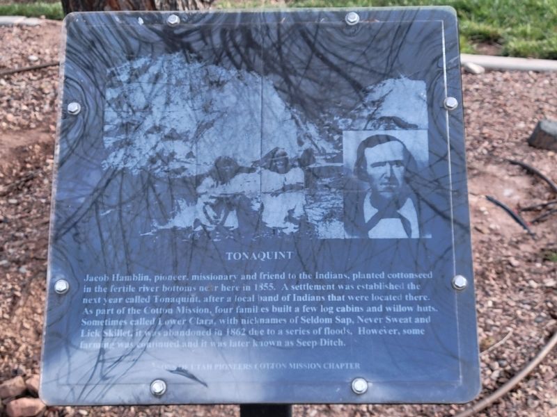
1. Tonaquint Marker
Jacob Hamblin, pioneer. missionary and friend to the Indians, planted cottonseed in the fertile river bottoms near here in 1855. A settlement was established the next year called Tonaquint, after a local band of Indians that were located there. As part of the Cotton Mission, four families built a few log cabins and willow huts. Sometimes called Lower Clara, with nicknames of Seldom Sap, Never Sweat and Lick Skillet, it was abandoned in 1862 due to a series of floods. However, some farming was continued and it was later known as Seep Ditch.
Erected by Sons of Utah Pioneers Cotton Mission Chapter. (Marker Number 173.)
Topics and series. This historical marker is listed in this topic list: Settlements & Settlers. In addition, it is included in the Sons of Utah Pioneers series list. A significant historical year for this entry is 1855.
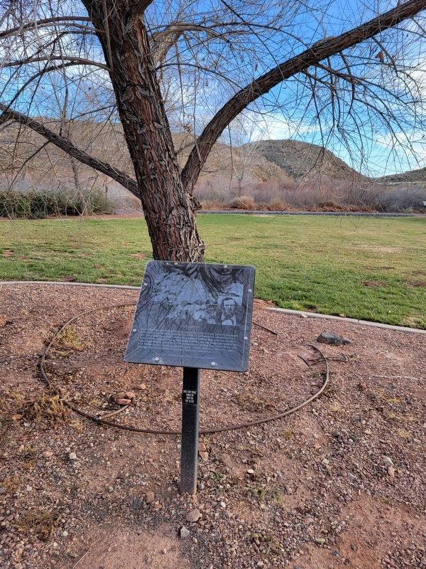
Location. 37° 4.481′ N, 113° 34.937′ W. Marker is in St. George, Utah, in Washington County. It can be reached from South Convention Center Drive. The marker is located in Crosby Family Confluence Park. Touch for map. Marker is at or near this postal address: 2099 S Convention Center Drive,
this page online

Regionally, this marker is in Utah’s Color Country. It is also in the American Southwest, in the Mountain West, and on the Colorado Plateau. Globally, it is in North America, the Rocky Mountains, the Western Hemisphere, the Western World, and the Anglosphere. Historically, it finds itself in what was once New Spain and also Mexico’s Alta California.
Other nearby markers. At least 8 other markers are within 2 miles of this marker, measured as the crow flies: Brigham Young's Vision (within shouting distance of this marker); Jedediah Strong Smith (within shouting distance of this marker); The Southern Exploring Company (within shouting distance of this marker); The Confluence of the Santa Clara and Virgin Rivers (about 300 feet away, measured in a direct line); Old Spanish Trail (about 300 feet away); Monument to the Flood of 2005 (about 400 feet away); Utah Is Rich in Aviation History (approx. one mile away); Virgin River Pump Station (approx. 1.8 miles away). Touch for a list and map of all markers in St. George.
Photographed by Jeremy Snow, February 13, 2024
2. Tonaquint Marker
Credits. This page was last revised on February 24, 2024. It was originally submitted on February 19, 2024, by Jeremy Snow of Cedar City, Utah. This page has been viewed 583 times since then and 72 times this year. Last updated on February 20, 2024, by Jeremy Snow of Cedar City, Utah. Photos: 1, 2. submitted on February 19, 2024, by Jeremy Snow of Cedar City, Utah. • Devry Becker Jones was the editor who published this page.
