Brooklyn Heights in Kings County, New York — The American Northeast (Mid-Atlantic)
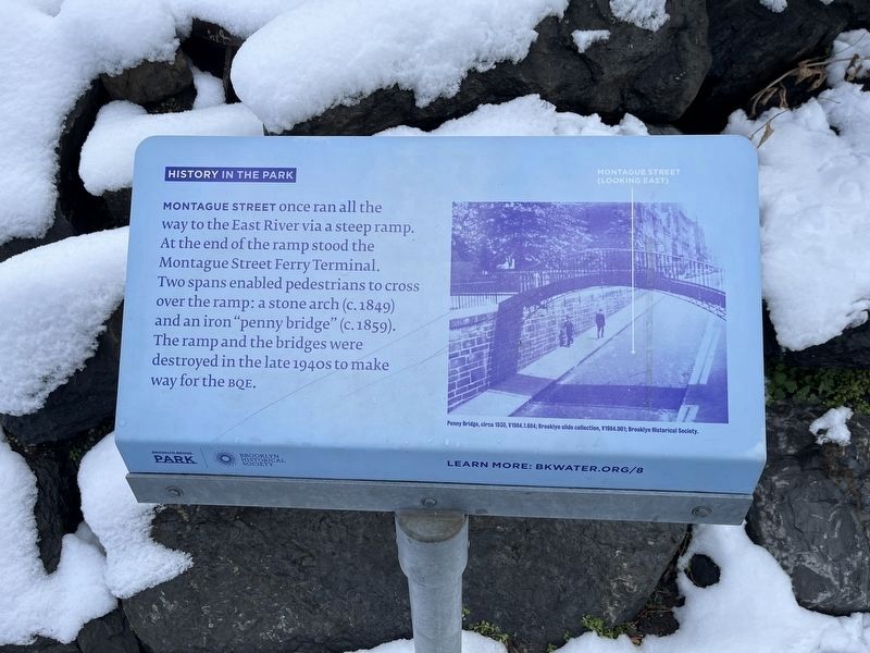
History in the Park
Montague Street once ran all the way to the East River via a steep ramp. At the end of the ramp stood the Montague Street Ferry Terminal. Two spans enabled pedestrians to cross over the ramp: a stone arch (c. 1849) and an iron "penny bridge" (c. 1859). The ramp and the bridges were destroyed in the late 1940s to make way for the BQE.
Erected by Brooklyn Bridge Park; Brooklyn Historical Society. (Marker Number 8.)
Topics. This historical marker is listed in these topic lists: Bridges & Viaducts • Roads & Vehicles.
Location. 40° 41.782′ N, 73° 59.942′ W. Marker is in Brooklyn, New York, in Kings County. It is in Brooklyn Heights. Marker is at the intersection of Brooklyn Bridge Park Greenway and Montague Street, on the right when traveling north on Brooklyn Bridge Park Greenway. Touch for map. Marker is at or near this postal address: 11 Montague St, Brooklyn NY 11201, United States of America. Touch for directions.
Other nearby markers. At least 8 other markers are within walking distance of this marker. Four Chimneys (about 400 feet away, measured in a direct line); W.H. Auden (about 500 feet away); Brooklyn Heights / Downtown Brooklyn (about 500 feet away); Thomas Wolfe (about 600 feet away); Arthur Miller (about 700 feet away); 155 - 157 - 159 Willow Street (approx. 0.2 miles away); Fort Stirling (approx. 0.2 miles away); Henry Miller (approx. ¼ mile away). Touch for a list and map of all markers in Brooklyn.
Additional keywords. Brooklyn-Queens Expressway; Interstate 278; I-278

Photographed By Devry Becker Jones (CC0), February 17, 2024
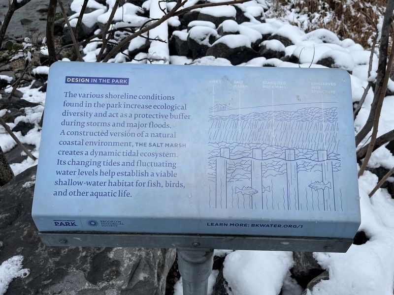
3. Additional nearby signage: Design in the Park
The various shoreline conditions found in the park increase ecological diversity and act as a protective buffer during storms and major floods. A constructed version of a natural coastline environment, the salt marsh creates a dynamic tidal ecosystem. Its changing tides and fluctuating water levels help establish a vital shallow-water habitat for fish, birds, and other aquatic life.
Credits. This page was last revised on February 20, 2024. It was originally submitted on February 20, 2024, by Devry Becker Jones of Washington, District of Columbia. This page has been viewed 38 times since then. Photos: 1, 2, 3. submitted on February 20, 2024, by Devry Becker Jones of Washington, District of Columbia.

