Port Huron in St. Clair County, Michigan — The American Midwest (Great Lakes)
St. John’s United Church of Christ
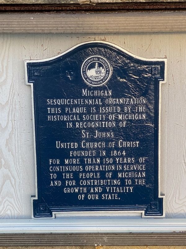
Michigan Sesquicentennial Organization
Photographed by J.T. Lambrou, August 15, 2022
1. St. John’s United Church of Christ Marker
Historical Society of Michigan
in recognition of
St. John's
United Church of Christ
Founded in 1864
For more than 150 years of
continuous operation in service
to the people of Michigan
and for contributing to the
growth and vitality
of our state.
Topics and series. This historical marker is listed in this topic list: Religion & Religious Structures. In addition, it is included in the Michigan - Historical Society of Michigan series list. A significant historical year for this entry is 1864.
Location. 42° 58.414′ N, 82° 25.658′ W. Marker is in Port Huron, Michigan, in St. Clair County. It is at the intersection of 7th Street and Pine Street, on the right when traveling south on 7th Street. Touch for map. Marker is at or near this postal address: 710 Pine Street, Port Huron MI 48060, United States of America. Touch for directions.

Regionally, this marker is in Southeast Michigan and in one of the Lake Huron Shore counties. It is also in the American Midwest. Globally, it is in North America, on the Great Lakes, in the Western Hemisphere, in the Western World, and in the Anglosphere.
this page online
Other nearby markers. At least 8 other markers are within walking distance of this marker: A different marker also named St. John's United Church of Christ (here, next to this marker); Port Huron Public Library (about 600 feet away, measured in a direct line); Hammond American Legion Post 8 Memorial (about 700 feet away); Civil War Memorial (about 800 feet away); Customhouse (about 800 feet away); Harrington Hotel / Truman Honeymoon (approx. 0.2 miles away); Intersection of Military Road and Indian Reservation (approx. 0.2 miles away); Commerce & Catastrophe (approx. 0.3 miles away). Touch for a list and map of all markers in Port Huron.
Photographed by J.T. Lambrou, August 15, 2022
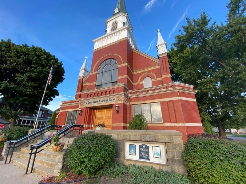
2. St. John’s United Church of Christ Marker
Photographed by J.T. Lambrou, August 15, 2022
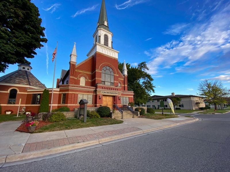
3. St. John’s United Church of Christ
Credits. This page was last revised on February 23, 2024. It was originally submitted on December 16, 2022, by J.T. Lambrou of New Boston, Michigan. This page has been viewed 225 times since then and 27 times this year. Last updated on February 20, 2024, by Carl Gordon Moore Jr. of North East, Maryland. Photos: 1, 2, 3. submitted on December 16, 2022, by J.T. Lambrou of New Boston, Michigan. • J. Makali Bruton was the editor who published this page.
