Near Kennesaw in Cobb County, Georgia — The American South (South Atlantic)
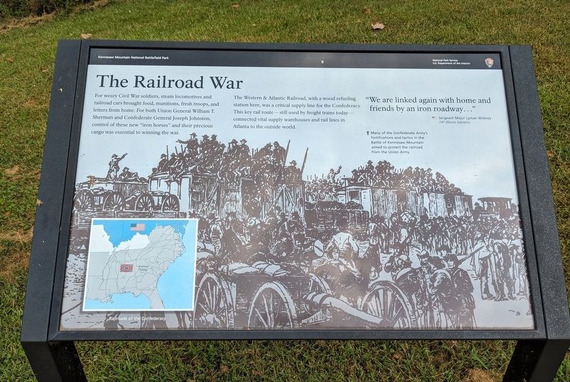
The Railroad War
— Kennesaw Mountain National Battlefield Park —
The Western & Atlantic Railroad, with a wood refueling station here, was a critical supply line for the Confederacy. This key rail route—still used by freight trains today—connected vital supply warehouses and rail lines in Atlanta to the outside world.
"We are lined again with home and friends by an iron roadway..."
— Sergeant Major Lyman Widney
34th Illinois Infantry
(caption) Many of the Confederate Army's fortifications and tactics in the Battle of Kennesaw Mountain aimed to protect the railroad from the Union Army.
Erected by National Park Service, U.S. Department of the Interior.
Topics. This historical marker is listed in these topic lists: Railroads & Streetcars • War, US Civil.
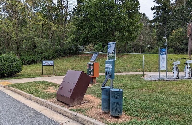
Location. 33° 59.133′ N, 84° 34.927′ W. Marker is near Kennesaw, Georgia, in Cobb County. Marker is on Old 41 Highway NW, 0.2 miles east of Ridenour Road NW, on the right when traveling east. Marker is adjacent to the Kennesaw Mountain National Battlefield Park overflow parking lot. Touch for map. Marker is at or near this postal address: 1200 Old 41 Hwy NW, Kennesaw GA 30152, United States of America. Touch for directions.
Other nearby markers. At least 8 other markers are within walking distance of this marker. Federal 15th Corps (about 800 feet away, measured in a direct line); Peachtree Trail (approx. 0.2 miles away); Eyes for the Armies (approx. ¼ mile away); A Grim and Silent Kennesaw (approx. ¼ mile away); Clash at Kennesaw (approx. ¼ mile away); Lining Up for Death (approx. 0.3 miles away); Brushy Mountain Line (approx. half a mile away); Tribute to Georgian Generals (approx. 0.6 miles away). Touch for a list and map of all markers in Kennesaw.
Also see . . . Kennesaw Mountain National Battlefield Park. National Park Service (Submitted on February 22, 2024.)
Credits. This page was last revised on February 22, 2024. It was originally submitted on February 20, 2024. This page has been viewed 41 times since then. Photos: 1, 2. submitted on February 20, 2024. • Bernard Fisher was the editor who published this page.

