Port Huron in St. Clair County, Michigan — The American Midwest (Great Lakes)
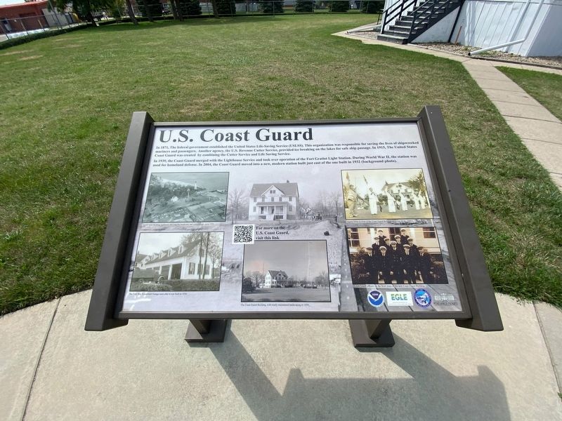
U.S. Coast Guard
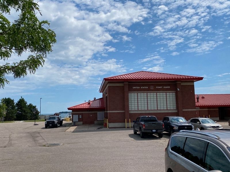
In 1939, the Coast Guard merged with the Lighthouse Service and took over operation of he Fort Gratiot Light Station. During World War II, the station was used for homeland defense. In 2004, the Coast Guard moved into a new, modern station built just east of the one built in 1932 (background photo).
Erected by Port Huron Museum, Saint Clair County, Michigan Dept of Environmental Quality, and NOAA.
Topics. This historical marker is listed in this topic list: Waterways & Vessels. A significant historical year for this entry is 1871.
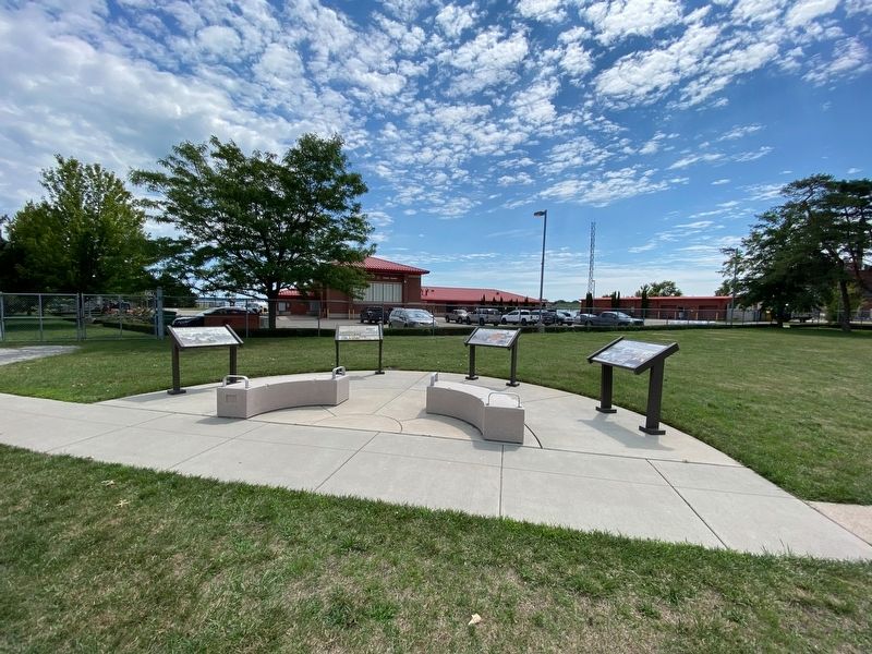
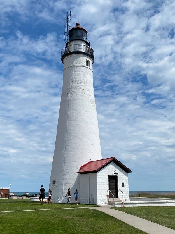
Location. 43° 0.334′ N, 82° 25.4′ W. Marker is in Port Huron, Michigan, in St. Clair County. Marker can be reached from Omar Street near Garfield Street, on the right when traveling north. The marker is at the southeast corner of the Fort Gratiot Lighthouse property, just east of the gift shop. Touch for map. Marker is at or near this postal address: 2802 Omar Street, Port Huron MI 48060, United States of America. Touch for directions.
Other nearby markers. At least 8 other markers are within walking distance of this marker. Fort Gratiot Light (within shouting distance of this marker); Seeing the Light (about 500 feet away, measured in a direct line); The Storm (about 500 feet away); Learning from Lake Huron (about 500 feet away); Sending a Signal (about 500 feet away); Keepers Duties (about 500 feet away); a different marker also named Fort Gratiot Light (about 500 feet away); Great Storm of 1913 and Sailors Memorial (approx. 0.4 miles away). Touch for a list and map of all markers in Port Huron.
Credits. This page was last revised on February 25, 2024. It was originally submitted on August 21, 2022, by J.T. Lambrou of New Boston, Michigan. This page has been viewed 85 times since then and 12 times this year. Last updated on February 20, 2024, by Carl Gordon Moore Jr. of North East, Maryland. Photos: 1, 2, 3, 4. submitted on August 21, 2022, by J.T. Lambrou of New Boston, Michigan. • J. Makali Bruton was the editor who published this page.


