Long Island City in Queens in Queens County, New York — The American Northeast (Mid-Atlantic)
History of Hunter's Point
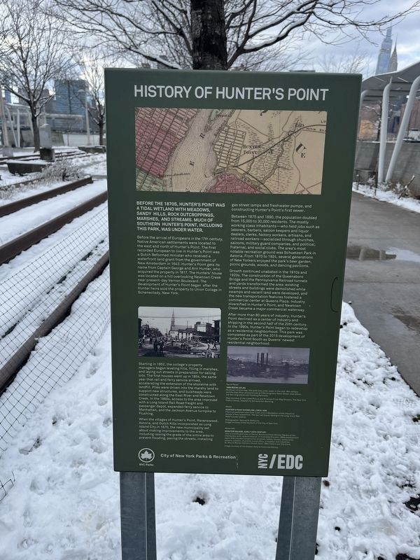
Before the 1870s, Hunter's Point was a tidal wetland with meadows, sandy hills, rock outcroppings, marshes, and streams. Much of southern Hunter's Point, including this park, was under water.
Before the arrival of Europeans in the 17th century, Native American settlements were located to the east and north of Hunter's Point. The first recorded European to live in Hunter's Point was a Dutch Reformed minister who received a waterfront land grant from the government of New Amsterdam in 1643. Hunter's Point gets its name from Captain George and Ann Hunter, who acquired the property in 1817. The Hunters' house was located on a hill overlooking Newtown Creek near present-day Vernon Boulevard. The development of Hunter's Point began after the Hunter heirs sold the property to Union College in Schenectady, New York.
Starting in 1852, the college's property managers began leveling hills, filling in marshes, and laying out streets in preparation for selling lots. The first houses went up in 1854, the same year that rail and ferry service arrived, accelerating the extension of the shoreline with landfill. Piles were driven into the marshy land to support new structures, and bulkheads were constructed along the East River and Newtown Creek. In the 1860s, access to the area improved with a Long Island Rail Road freight and passenger depot, expanded ferry service to Manhattan, and the Jackson Avenue turnpike to Flushing.
When the villages of Hunter's Point, Ravenswood, Astoria, and Dutch Kills incorporated as Long Island City in 1870, the new municipality set about making improvements to the area, including raising the grade of the entire area to prevent flooding, paving the streets, installing gas street lamps and freshwater pumps, and constructing Hunter's Point's first sewer.
Between 1875 and 1890, the population doubled from 15,000 to 30,000 residents. The mostly working class inhabitants—who held jobs such as laborers, barbers, saloon keepers and liquor dealers, clerks, factory workers, artisans, and railroad workers—socialized through churches, saloons, military guard companies, and political, fraternal, and social clubs. The area's most notable recreation ground was Schuetzen Park in Astoria. From 1870 to 1924, several generations of New Yorkers enjoyed the park's beer garden, picnic grounds, woods, and dancing pavilions.
Growth continued unabated in the 1910s and 1920s. The construction of the Queensboro Bridge and the Pennsylvania Railroad tunnels and yards transformed the area: existing streets and buildings were demolished while swamps and vacant land were developed, and the new transportation features fostered a commercial center at Queens Plaza. Industry
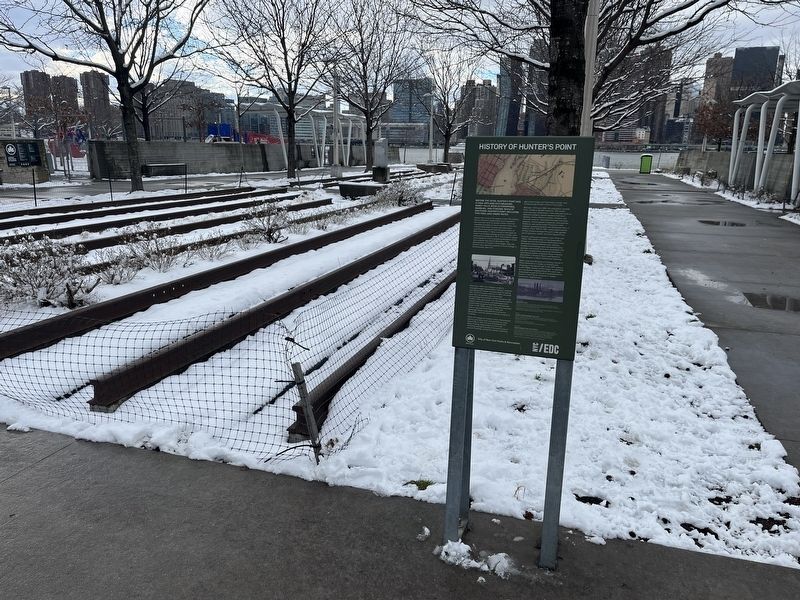
After more than 80 years of industry, Hunter's Point declined as a center of industry and shipping in the second half of the 20th century. In the 1990s, Hunter's Point began to redevelop as a residential neighborhood. This park was completed as part of the 2015 development of Hunter's Point South as Queens' newest residential neighborhood.
Erected by City of New York Parks & Recreation (NYC Parks); NYC EDC.
Topics and series. This historical marker is listed in these topic lists: Industry & Commerce • Railroads & Streetcars • Settlements & Settlers • Waterways & Vessels. In addition, it is included in the NYC Parks series list. A significant historical year for this entry is 1643.
Location. 40° 44.589′ N, 73° 57.599′ W. Marker is in Queens, New York, in Queens County. It is in Long Island City. Marker can be reached from the intersection of Center Avenue and 51st Avenue, on the left when traveling north. Touch for map. Marker is at or near this postal address: 1-50 51st Ave, Long Island City NY 11101, United States of America. Touch for directions.
Other nearby markers. At least 8 other markers are within walking distance of this marker. Railroad Traffic on the River (about 600 feet away, measured in a direct line); In Memory of Bill Bylewski (approx. 0.2 miles away); Hunter's Point South Salt Marsh (approx. 0.3 miles away); National Sugar Refining Company (approx. 0.3 miles away); Franklin Delano Roosevelt (approx. half a mile away); Smallpox Hospital (approx. 0.6 miles away); E34th Street (approx. 0.6 miles away); Jo Davidson (approx. 0.6 miles away). Touch for a list and map of all markers in Queens.
Credits. This page was last revised on February 22, 2024. It was originally submitted on February 22, 2024, by Devry Becker Jones of Washington, District of Columbia. This page has been viewed 69 times since then. Photos: 1, 2. submitted on February 22, 2024, by Devry Becker Jones of Washington, District of Columbia.

