Lincoln Township near Somerset in Somerset County, Pennsylvania — The American Northeast (Mid-Atlantic)
Quecreek Mine Accident and Rescue
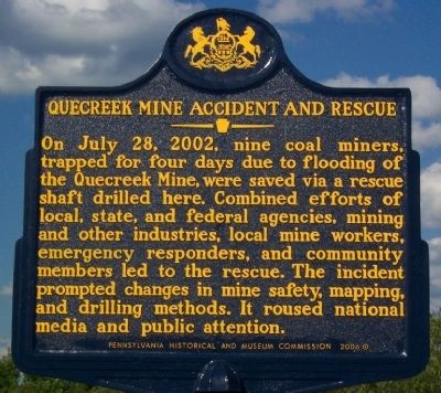
Photographed by William Fischer, Jr., July 7, 2009
1. Quecreek Mine Accident and Rescue Marker
On July 28, 2002, nine coal miners, trapped for four days due to flooding of the Quecreek Mine, were saved via a rescue shaft drilled here. Combined efforts of local, state, and federal agencies, mining and other industries, local mine workers, emergency responders, and community members led to the rescue. The incident prompted changes in mine safety, mapping, and drilling methods. It roused national media & public attention.
—————————
Monument for Life
The symbol of the red oak, here, is of course, faith. The 9 evergreens are to represent miners, but in a larger sense, all of us. We all must sometimes bind ourselves together as “the nine” did when the leaves of faith have fallen like that of the oak in autumn. When we long for the shelter of the oak to protect us from the cold and dark, we must realize that in the coldest winter of our lives, or the darkest mine, when there seems to be no life in the oak His roots run deep. His limbs outstretched - calling us to Him. And in His shadow, we will all be reborn in spring.
The Arnold Family
Erected 2006 by Pennsylvania Historical and Museum Commission.
Topics and series.
this page online
Location. 40° 4.692′ N, 79° 5.143′ W. Marker is near Somerset, Pennsylvania, in Somerset County. It is in Lincoln Township. It is on Haupt Road (Local Route 623) 0.1 miles west of Somerset Pike (Pennsylvania Route 985), on the right when traveling west. Memorial is about five miles north of the town of Somerset. Touch for map. Marker is at or near this postal address: 151 Haupt Road, Somerset PA 15501, United States of America. Touch for directions.

Regionally, this marker is in Pennsylvania’s Laurel Highlands. It is also in the American Northeast, in the Mid-Atlantic, in Appalachia, and specifically in Northern Appalachia. Globally, it is in North America, the Western Hemisphere, the Western World, and the Anglosphere. Historically, it finds itself in what was once the Haudenosaunee (Iroquois) Confederacy and also one of the original Thirteen Colonies.
Other nearby markers. At
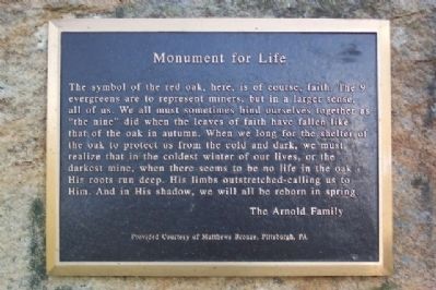
Photographed by William Fischer, Jr., July 7, 2009
2. Quecreek Mine Accident and Rescue Marker
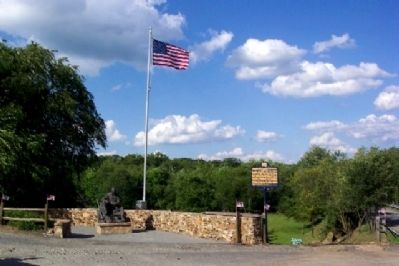
Photographed by William Fischer, Jr., July 7, 2009
3. Quecreek Mine Accident and Rescue Memorial and Marker
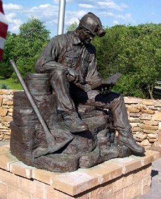
Photographed by William Fischer, Jr., July 7, 2009
4. Quecreek Mine Accident Memorial Statue
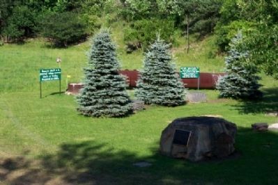
Photographed by William Fischer, Jr., July 7, 2009
5. Quecreek Mine Monument for Life Marker
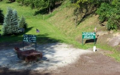
Photographed by William Fischer, Jr., July 7, 2009
6. Quecreek Mine Accident Rescue Shafts
Rescue shaft on left and airshaft on right.
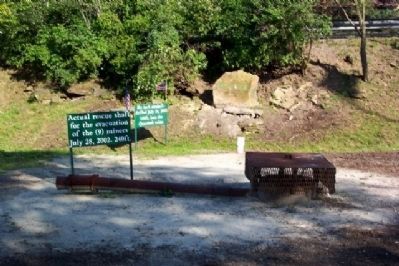
Photographed by William Fischer, Jr., July 7, 2009
7. Quecreek Mine Accident Rescue Shafts
Rescue shaft in foreground and airshaft in background. Haupt Road guardrail at background right.
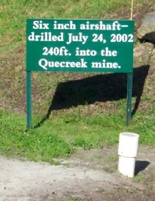
Photographed by William Fischer, Jr., July 7, 2009
8. Quecreek Mine Accident Airshaft
Six inch airshaft - drilled July 24, 2002 240ft. into the Quecreek mine.
Photographed by William Fischer, Jr., July 7, 2009
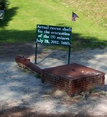
9. Quecreek Mine Accident Rescue Shaft
Actual rescue shaft for the evacation of the (9) miners July 28, 2002. 240ft.
Photographed by William Fischer, Jr., July 7, 2009
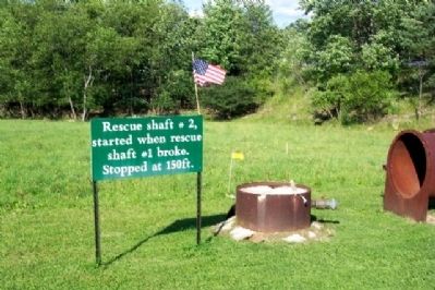
10. Quecreek Mine Rescue Shaft #2
Rescue shaft #2, started when rescue shaft #1 broke. Stopped at 150ft.
Photographed by William Fischer, Jr., July 7, 2009
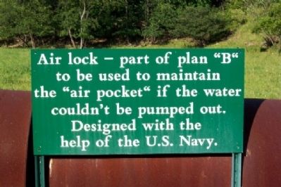
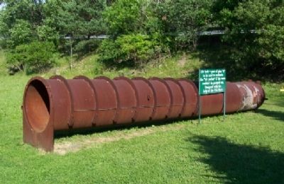
11. Quecreek Mine Accident Air Lock
Air lock - part of plan "B" to be used to maintain the "air pocket" if the water couldn't be pumped out. Designed with the help of the U.S. Navy.
Photographed by William Fischer, Jr., July 7, 2009
12. Quecreek Mine Accident Air Lock and Marker
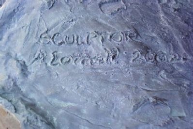
Photographed by William Fischer, Jr., July 7, 2009
13. Quecreek Mine Accident Memorial Sculptor Signature
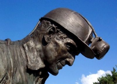
Photographed by William Fischer, Jr., July 7, 2009
14. Quecreek Mine Accident Memorial Miner Statue Detail
Credits. This page was last revised on October 26, 2024. It was originally submitted on November 6, 2009, by William Fischer, Jr. of Reynoldsburg, Ohio. This page has been viewed 3,152 times since then and 81 times this year. Photos: 1, 2, 3, 4, 5, 6, 7, 8, 9, 10, 11, 12, 13, 14. submitted on November 6, 2009, by William Fischer, Jr. of Reynoldsburg, Ohio.
