West Sahara in Las Vegas in Clark County, Nevada — The American Mountains (Southwest)
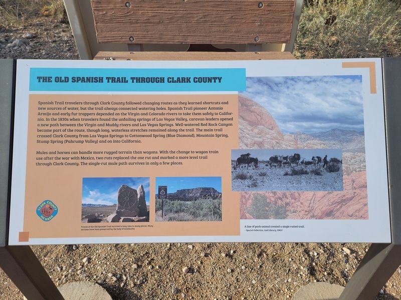
The Old Spanish Trail Through Clark County
Spanish Trail travelers through Clark County followed changing routes as they learned shortcuts and new sources of water, but the trail always connected watering holes. Spanish Trail pioneer Antonio Armijo and early fur trappers depended on the Virgin and Colorado rivers to take them safely to California. In the 1830s when travelers found the unfailing springs of Las Vegas Valley, caravan leaders opened a new path between the Virgin and Muddy rivers and Las Vegas Springs. Well-watered Red Rock Canyon became part of the route, though long, waterless stretches remained along the trail. The main trail crossed Clark County from Las Vegas Springs to Cottonwood Spring (Blue Diamond), Mountain Spring, Stump Spring (Pahrump Valley) and on into California.
Mules and horses can handle more rugged terrain than wagons. With the change to wagon train use after the war with Mexico, two ruts replaced the one rut and marked a more level trail through Clark County. The single-rut mule path survives in only a few places.
Traces of the Old Spanish Trail survived a long time in many places. Many sections have been preserved by the help of landmarks.
Erected by Clark County.
Topics and series. This historical marker is listed in this topic list: Roads & Vehicles . In addition, it is included in the Old Spanish National Trail series list. A significant historical year for this entry is 1831.
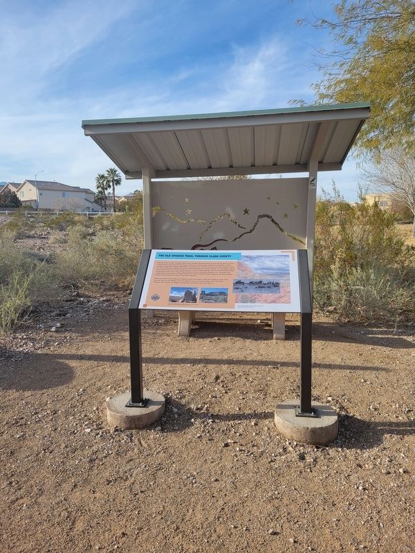
Location. 36° 8.349′ N, 115° 16.155′ W. Marker is in Las Vegas, Nevada, in Clark County. It is in West Sahara. Marker can be reached from Tara Avenue. The marker is located along walking path in the Old Spanish Trail Park. Touch for map. Marker is at or near this postal address: 8150 Tara Avenue, Las Vegas NV 89117, United States of America. Touch for directions.
Other nearby markers. At least 8 other markers are within walking distance of this marker. Frémont and His Scouts (here, next to this marker); Children and the Old Spanish Trail (within shouting distance of this marker); Outlaws and Horse Thieves on the Old Spanish Trail (within shouting distance of this marker); Old Spanish Trail Park (within shouting distance of this marker); Las Vegas Ranches 1865-1905 (within shouting distance of this marker); Native People Knew the Old Spanish Trail (within shouting distance of this marker); The Mormon Battle & The Old Spanish Trail (about 300 feet away, measured in a direct line); The Mohave Desert (about 300 feet away). Touch for a list and map of all markers in Las Vegas.
Credits. This page was last revised on February 24, 2024. It was originally submitted on February 23, 2024, by Jeremy Snow of Cedar City, Utah. This page has been viewed 62 times since then. Photos: 1, 2. submitted on February 23, 2024, by Jeremy Snow of Cedar City, Utah. • Andrew Ruppenstein was the editor who published this page.

