West Sahara in Las Vegas in Clark County, Nevada — The American Mountains (Southwest)
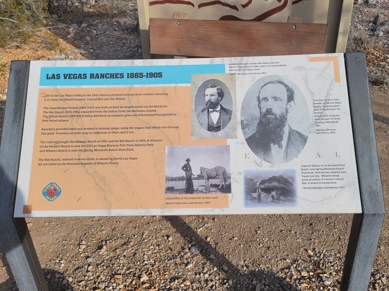
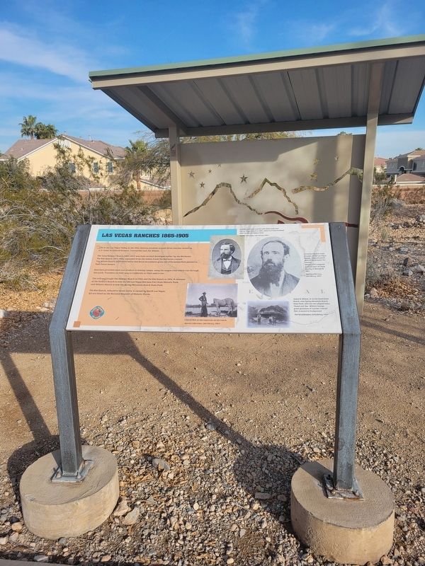
Las Vegas Ranches 1865-1905
Life in the Las Vegas Valley in the 19th Century revolved around three ranches owned by 0.D. Gass/Archibald Stewart, Conrad Kiel and Jim Wilson.
The Gass/Stewart Ranch (1865-1905) was built on land developed earlier by the Mormons. The Kiel Ranch (1875-1904) expanded from the Indian Farm the Mormons created. The Wilson Ranch (1876-1929) below Red Rock escarpment grew out of farmland first planted to feed Potosi miners.
Ranchers provided meat and produce to mining camps, using the wagon road which ran through this park. Travelers on their way to California or Utah used it too.
The railroad bought the Stewart Ranch in 1902 and the Kiel Ranch in 1904. A remnant of the Stewart Ranch is now the Old Las Vegas Mormon Fort State Historic Park, and Wilson's Ranch is now the Spring Mountain Ranch State Park.
The Kiel Ranch, reduced to seven acres, is owned by North Las Vegas. All are listed on the National Register of Historic Places.
(caption) Conrad Kiel at the reservoir on his ranch
Special Collections, Lied Libary, UNLV
(caption) Archibald Stewart and his wife Helen took over the Las Vegas Ranch in 1882, which O.D. Gass forfeited when he did not repay a loan. - Special Collections, Lied Library, UNLV
(caption) Octavius Decatur Gass, founder of the Las Vegas Ranch. Gass was president of the Arizona Territorial Senate until Congress gave his part of Clark County to Nevada in 1867. - Special Collections, Lied Library, UNLV
(caption) James B. Wilson, Sr on his his Sand Stone Ranch, now Spring Mountain Ranch State Park, with his two adopted sons, Tweed and Willard. George, great-grandson of rancher Conrad Kiel, is seated in background. - Special Collections, Lied Library, UNLV
Erected by Clark County.
Topics. This historical marker is listed in these topic lists: Agriculture • Settlements & Settlers. A significant historical year for this entry is 1865.
Location. 36° 8.356′ N, 115° 16.117′ W. Marker is in Las Vegas, Nevada, in Clark County. It is in West Sahara. Marker can be reached from 8150 Tara Ave. Marker is located along walking path in the middle of Old Spanish Trail Park. Touch for map. Marker is at or near this postal address: 8150 Tara Ave, Las Vegas NV 89117, United States of America. Touch for directions.
Other nearby markers. At least 8 other markers are within walking distance of this marker. Native People Knew the Old Spanish Trail (here, next to this marker); Children and the Old Spanish Trail (within shouting distance of this marker); The Mormon Battle & The Old Spanish Trail (within shouting distance of this marker); Old Spanish Trail Park (within shouting distance of this marker); The Old Spanish Trail Through Clark County (within shouting distance of this marker); Frémont and His Scouts (within shouting distance of this marker); From Old Spanish Trail to I-15 (within shouting distance of this marker); The Mohave Desert (about 300 feet away, measured in a direct line). Touch for a list and map of all markers in Las Vegas.
Credits. This page was last revised on February 24, 2024. It was originally submitted on February 23, 2024, by Jeremy Snow of Cedar City, Utah. This page has been viewed 64 times since then. Photos: 1. submitted on February 23, 2024, by Jeremy Snow of Cedar City, Utah. 2. submitted on February 24, 2024, by Jeremy Snow of Cedar City, Utah. • Andrew Ruppenstein was the editor who published this page.

