West Sahara in Las Vegas in Clark County, Nevada — The American Mountains (Southwest)
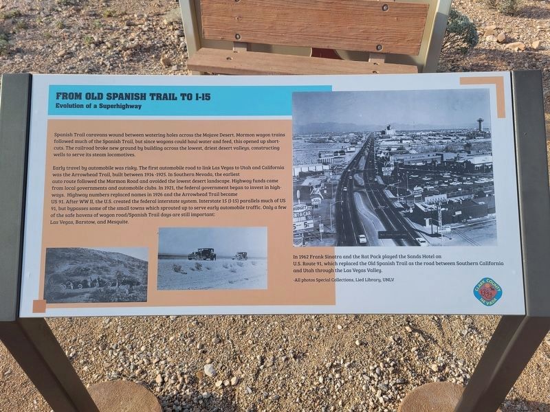
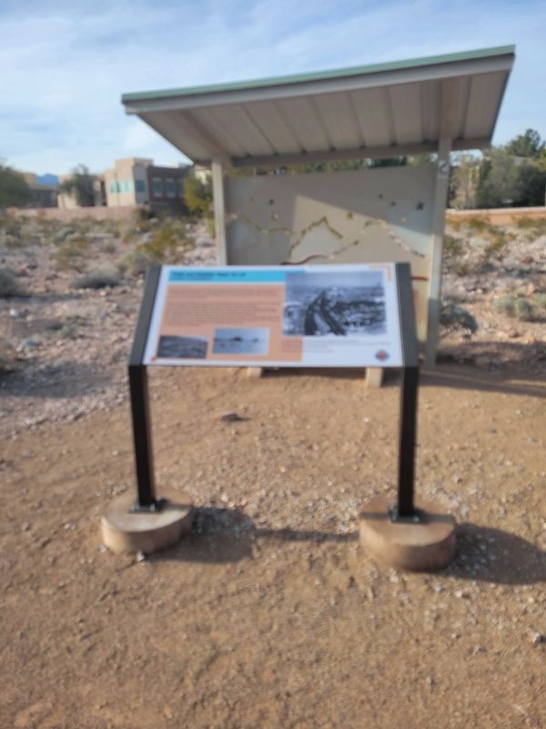
From Old Spanish Trail to I-15
Evolution of a Superhighway
Spanish Trail caravans wound between watering holes across the Mojave Desert. Mormon wagon trains followed much of the Spanish Trail, but since wagons could haul water and feed, this opened up short-cuts. The railroad broke new ground by building across the lowest, driest desert valleys, constructing wells to serve its steam locomotives.
Early travel by automobile was risky. The first automobile road to link Las Vegas to Utah and California was the Arrowhead Trail, built between 1914-1925. In Southern Nevada, the earliest autoroute followed the Mormon Road and avoided the lowest desert landscape. Highway funds came from local governments and automobile clubs. In 1921, the federal government began to invest in highways. Highway numbers replaced names in 1926 and the Arrowhead Trail became US 91. After WWII, the U.S. created the federal interstate system. Interstate 15 (I-15) parallels much of US 91, but bypasses some of the small towns which sprouted up to serve early automobile traffic. Only a few of the safe havens of wagon road/Spanish Trail days are still important: Las Vegas, Barstow, and Mesquite.
(caption:) In 1962 Frank Sinatra and the Rat Pack played the Sands Hotel on U.S. Route 91, which replaced the Old Spanish Trail as the road between Southern California and Utah through the Las Vegas Valley.
All photos Special Collections, Lied Library, UNLV
Erected by Clark County.
Topics and series. This historical marker is listed in this topic list: Roads & Vehicles. In addition, it is included in the Old Spanish National Trail series list. A significant historical year for this entry is 1921.
Location. 36° 8.34′ N, 115° 16.081′ W. Marker is in Las Vegas, Nevada, in Clark County. It is in West Sahara. Marker can be reached from Tara Avenue. Marker located along walking path in the Old Spanish Trail Park. Touch for map. Marker is at or near this postal address: 8150 Tara Ave, Las Vegas NV 89117, United States of America. Touch for directions.
Other nearby markers. At least 8 other markers are within walking distance of this marker. Las Vegas Ranches 1865-1905 (within shouting distance of this marker); Native People Knew the Old Spanish Trail (within shouting distance of this marker); Old Spanish Trail Park (within shouting distance of this marker); The Mormon Battle & The Old Spanish Trail (about 300 feet away, measured in a direct line); Children and the Old Spanish Trail (about 300 feet away); The Old Spanish Trail Through Clark County (about 400 feet away); Frémont and His Scouts (about 400 feet away); The Mohave Desert (about 500 feet away). Touch for a list and map of all markers in Las Vegas.
Credits. This page was last revised on February 26, 2024. It was originally submitted on February 23, 2024, by Jeremy Snow of Cedar City, Utah. This page has been viewed 37 times since then. Photos: 1, 2. submitted on February 23, 2024, by Jeremy Snow of Cedar City, Utah. • Andrew Ruppenstein was the editor who published this page.

