Saint Anthony Main in Minneapolis in Hennepin County, Minnesota — The American Midwest (Upper Plains)
Harnessing Waterpower
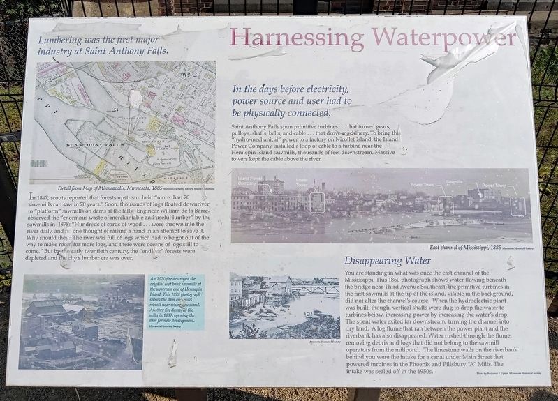
Lumbering was the first major industry at Saint Anthony Falls.
Detail from Map of Minneapolis, Minnesota, 1885 Minneapolis Public Library Special Collections
In 1847, scouts reported that forests upstream held "more than 70 saw-mills can saw in 70 years." Soon, thousands of logs floated downriver to "platform" sawmills on dams at the falls. Engineer William de la Barre observed the "enormous waste of merchantable and useful lumber" by the sawmills in 1878: "Hundreds of cords of wood ... were thrown into the river daily, and no one thought of raising a hand in an attempt to save it. Why should they? The river was full of logs which had to be got out of the way to make room for more logs, and there were oceans of logs still to come." But by the early twentieth century, the "endless" forests were depleted and the city's lumber era was over.
An 1870 fire destroyed the original east bank sawmills at the upstream end of Hennepin Island. This 1878 photograph shows the dam and mills rebuilt near where you stand. Another fire damaged the mills in 1887, opening the dam for new development. Minnesota Historical Society
In the days before electricity, power source and user had to be physically connected.
Saint Anthony Falls spun primitive turbines ... that turned gears, pulleys, shafts, belts, and cable ... that drove machinery. To bring this "hydro-mechanical" power to a factory on Nicollet Island, the Island Power Company installed a loop of cable to a turbine near the Hennepin Island sawmills, thousands of feet downstream. Massive towers kept the cable above the river.
East channel of Mississippi, 1885 Minnesota Historical Society
Disappearing Water
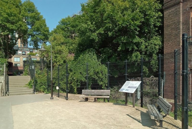
You are standing in what was once the east channel of the Mississippi. This 1860 photograph shows water flowing beneath the bridge near Third Avenue Southeast; the primitive turbines in the first sawmills at the tip of the island, visible in the background, did not alter the channel's course. When the hydroelectric plant was built, though, vertical shafts were dug to drop the water to turbines below, increasing power by increasing the water's drop. The spent water exited far downstream, turning the channel into dry land. A log flume that ran between the power plant and the riverbank has also disappeared. Water rushed through the flume, removing debris and logs that did not belong to the sawmill operators from the millpond. The limestone walls on the riverbank behind you were the intake for a canal under Main Street that powered turbines in the Phoenix
and Pillsbury "A" Mills. The intake was sealed off in the 1950s.
Photo by Benjamin F. Upton, Minnesota Historical Society
Erected by Xcel Energy.
Topics. This historical marker is listed in these topic lists: Industry & Commerce • Waterways & Vessels. A significant historical year for this entry is 1847.
Location. 44° 59.035′ N, 93° 15.285′ W. Marker is in Minneapolis, Minnesota, in Hennepin County. It is in Saint Anthony Main. Marker can be reached from SE Main Street. The marker is in Water Power Park. Touch for map. Marker is at or near this postal address: 204 SE Main Street, Minneapolis MN 55414, United States of America. Touch for directions.
Other nearby markers. At least 8 other markers are within walking distance of this marker. Electricity and Minneapolis (a few steps from this marker); Follow the Water: Part 1 - Intake and Tunnel (within shouting distance of this marker); Power on the East Side (within shouting distance of this marker); The Falls That Built the City (within shouting distance of this marker); Hydroelectricity: The Early Years (within shouting distance of this marker); Hydroelectricity Comes of Age (about 300 feet away, measured in a direct line); Main Street Builds (about 300 feet away); Franklin Steele (about 300 feet away). Touch for a list and map of all markers in Minneapolis.
Credits. This page was last revised on February 28, 2024. It was originally submitted on February 24, 2024, by McGhiever of Minneapolis, Minnesota. This page has been viewed 39 times since then. Photos: 1, 2. submitted on February 24, 2024, by McGhiever of Minneapolis, Minnesota. • Andrew Ruppenstein was the editor who published this page.

