Millerstown in Perry County, Pennsylvania — The American Northeast (Mid-Atlantic)
David Miller
Founder of Millerstown
— The Visionary Pioneer —
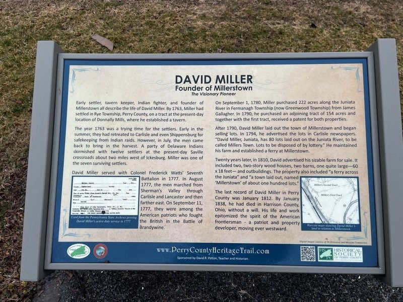
Early settler, tavern keeper, Indian fighter, and founder of Millerstown all describe the life of David Miller. By 1763, Miller had settled in Rye Township, Perry County, on a tract at the present-day location of Donnally Mills, where he established a tavern.
The year 1763 was a trying time for the settlers. Early in the summer, they had retreated to Carlisle and even Shippensburg for safekeeping from Indian raids. However, in July, the men came back to bring in the harvest. A party of Delaware Indians skirmished with twelve settlers at the present-day Saville crossroads and two miles west of Ickesburg. Miller was one of the seven surviving settlers.
David Miller served with Colonel Frederick Watts' Seventh Battalion in 1777. In August 1777, the men marched from Sherman's Valley through Carlisle and Lancaster and then farther east. On September 11, 1777, they were among the American patriots who fought the British in the Battle of Brandywine.
On September 1, 1780, Miller purchased 222 acres along the Juniata River in Fermanagh Township (now Greenwood Township) from James Gallagher. In 1790, he purchased an adjoining tract of 154 acres and together with the first tract, received a patent for both properties.
After 1790, David Miller laid out the town of Millerstown and began selling lots. In 1794, he advertised the lots in Carlisle newspapers. "David Miller, Juniata, has 80 lots laid out on the Juniata River, to be called Millers Town. Lots to be disposed of by lottery." He maintained his farm and established a ferry at Millerstown.
Twenty years later, in 1810, David advertised his sizable farm for sale. It included two, two-story wood houses, two barns, one quite large—60 × 18 feet—and outbuildings. The property also included "a ferry across the Juniata" and "a town laid out, named 'Millerstown' of about one hundred lots."
The last record of David Miller in Perry County was January 1812. By January 1838, he had died in Harrison County, Ohio, without a will. His life and work epitomized the spirit of the American frontiersman — a patriot and property developer, moving ever westward.
Erected 2020 by Borough of Millerstown; Historical Society of Perry County.
Topics and series. This historical marker is listed in these topic lists: Colonial Era • Industry & Commerce • Settlements & Settlers • War, US Revolutionary. In addition, it is included in the Perry County Heritage Trail in Pennsylvania. series list. A significant historical month for this entry is January 1812.
Location. 40° 33.158′ N, 77° 9.314′ W. Marker is in Millerstown, Pennsylvania
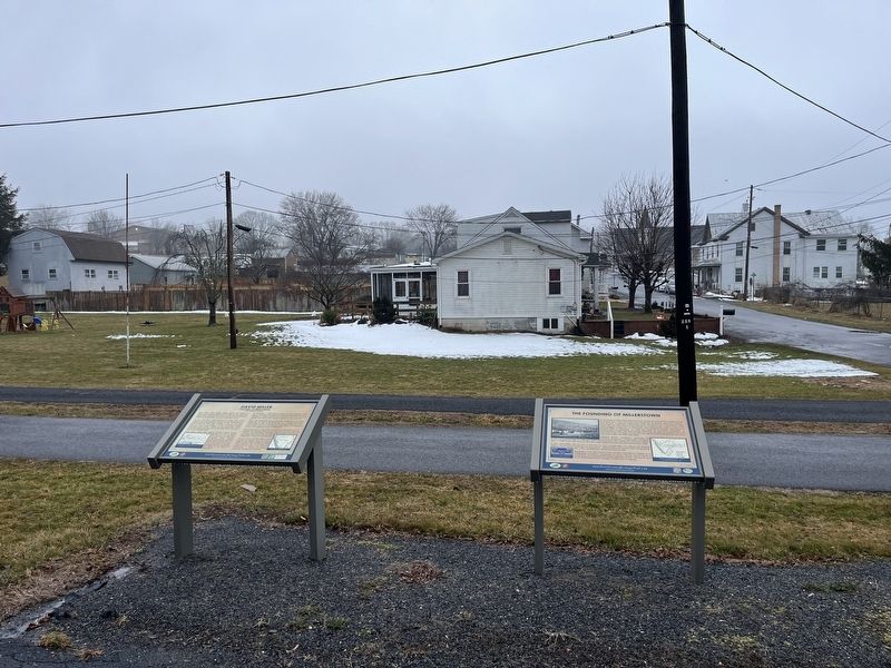
Other nearby markers. At least 8 other markers are within walking distance of this marker. The Founding of Millerstown (here, next to this marker); Millerstown (here, next to this marker); Governor James Addams Beaver (about 500 feet away, measured in a direct line); The Millerstown Tannery, 1800-1928 (about 500 feet away); a different marker also named Millerstown (about 500 feet away); Millerstown United Methodist Church (about 500 feet away); Cochran-Anspach House (approx. 0.2 miles away); a different marker also named Millerstown (approx. 0.2 miles away). Touch for a list and map of all markers in Millerstown.
Credits. This page was last revised on February 25, 2024. It was originally submitted on February 24, 2024, by Devry Becker Jones of Washington, District of Columbia. This page has been viewed 38 times since then. Photos: 1, 2. submitted on February 24, 2024, by Devry Becker Jones of Washington, District of Columbia.

