Greenwood Township near Millerstown in Perry County, Pennsylvania — The American Northeast (Mid-Atlantic)
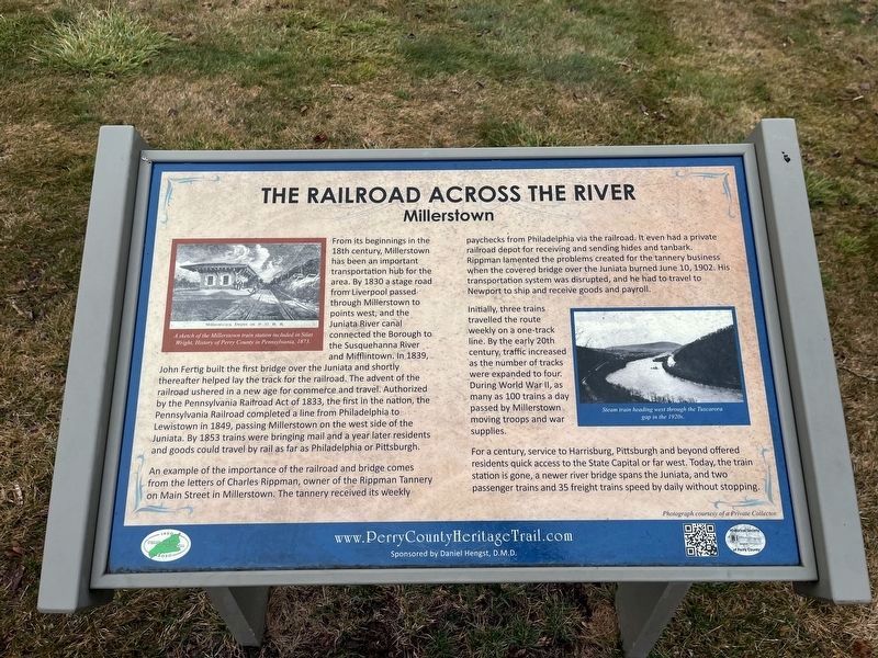
The Railroad Across the River
Millerstown
— Perry County Bicentennial 1820-2020 —
From its beginnings in the 18th century, Millerstown has been an important transportation hub for the area. By 1830 a stage road from Liverpool passed through Millerstown to points west, and the Juniata River canal connected the Borough to the Susquehanna River and Mifflintown. In 1839, John Fertig built the first bridge over the Juniata and shortly thereafter helped lay the track for the railroad. The advent of the railroad ushered in a new age for commerce and travel. Authorized by the Pennsylvania Railroad Act of 1833, the first in the nation, the Pennsylvania Railroad completed a line from Philadelphia to Lewistown in 1849, passing Millerstown on the west side of the Juniata. By 1853 trains were bringing mail and a year later residents and goods could travel by rail as far as Philadelphia or Pittsburgh.
An example of the importance of the railroad and bridge comes from the letters of Charles Rippman, owner of the Rippman Tannery on Main Street in Millerstown.
The tannery received its weekly paychecks from Philadelphia via the railroad. It even had a private railroad depot for receiving and sending hides and tanbark. Rippman lamented the problems created for the tannery business when the covered bridge over the Juniata burned June 10, 1902. His transportation system was disrupted, and he had to travel to Newport to ship and receive goods and payroll.
Initially, three trains travelled the route weekly on a one-track line. By the early 20th century, traffic increased as the number of tracks were expanded to four. During World War II, as many as 100 trains a day passed by Millerstown moving troops and war supplies.
For a century, service to Harrisburg, Pittsburgh and beyond offered residents quick access to the State Capital or far west. Today, the train station is gone, a newer bridge spans the Juniata, and two passenger trains and 35 freight trains speed by daily without stopping.
Erected 2020 by Historical Society of Perry County.
Topics and series. This historical marker is listed in these topic lists: Bridges & Viaducts • Industry & Commerce • Railroads & Streetcars • Waterways & Vessels. In addition, it is included in the Perry County Heritage Trail in Pennsylvania. series list. A significant historical date for this entry is June 10, 1902.
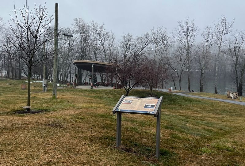
Location. 40° 32.371′ N, 77° 8.914′ W. Marker is near Millerstown, Pennsylvania, in Perry County. It is in Greenwood Township. Marker can be reached from West Juniata Parkway (County Road 1015) south of U.S. 22, on the right when traveling south. The marker stands on the grounds of Millerstown Area Community Park.
Other nearby markers. At least 8 other markers are within walking distance of this marker. World War I Memorial (within shouting distance of this marker); The Canal that Went Over a Mountain (about 500 feet away, measured in a direct line); Millerstown Dairies (about 600 feet away); Millerstown Recreation (about 700 feet away); Millerstown Transportation (approx. 0.2 miles away); Millerstown - The Canal Era (approx. 0.2 miles away); Welcome to Millerstown (approx. 0.3 miles away); World War Memorial (approx. 0.7 miles away). Touch for a list and map of all markers in Millerstown.
Credits. This page was last revised on February 25, 2024. It was originally submitted on February 25, 2024, by Devry Becker Jones of Washington, District of Columbia. This page has been viewed 38 times since then. Photos: 1, 2. submitted on February 25, 2024, by Devry Becker Jones of Washington, District of Columbia.

