Oakville in Halton Region, Ontario — Central Canada (North America)
Early Contact Period (1610-1700)
First Nations
— Sixteen Mile Creek Trail —
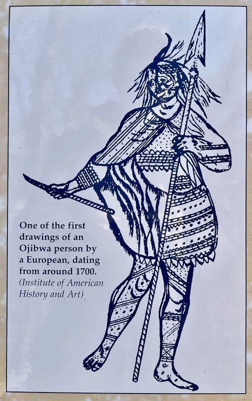
By 1650 these aboriginal inhabitants were dispersed by the Five Nations Iroquois who lived in what is now New York State. During the period 1667-1688, the Iroquois established several outposts along the north shore of Lake Ontario. By 1700, the Iroquois were in turn replaced by the Algonquian-speaking Ojibwa.
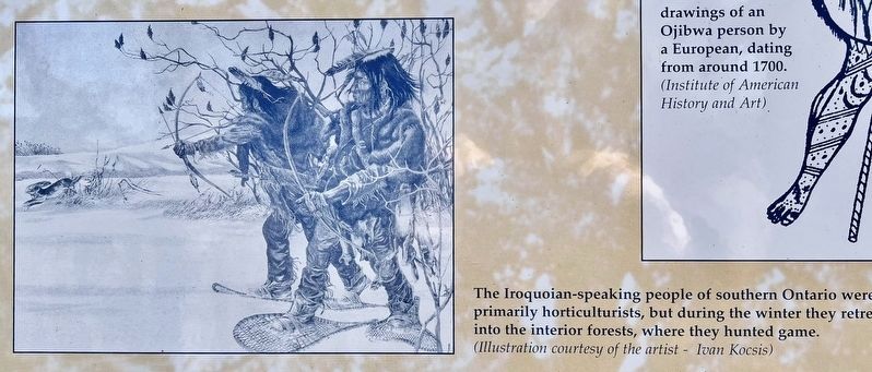
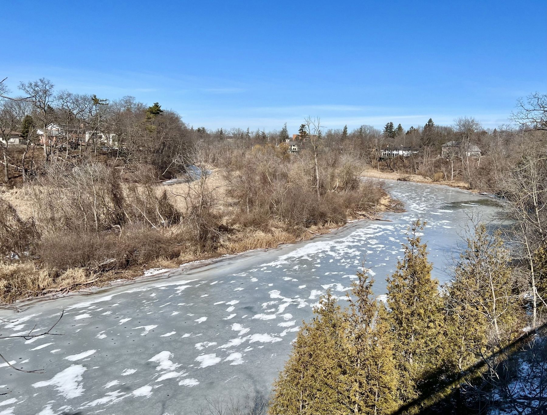
All of these groups probably fished and hunted along Sixteen Mile Creek, although none erected permanent settlements here.
Topics. This historical marker is listed in this topic list: Native Americans. A significant historical year for this entry is 1610.
Location. 43° 26.758′ N, 79° 40.247′ W. Marker is in Oakville, Ontario, in Halton Region. Marker is at the intersection of Randall Street and Thomas Street, on the right when traveling west on Randall Street. Touch for map. Marker is at or near this postal address: 165 Randall Street, Oakville ON L6J 1P5, Canada. Touch for directions.
Other nearby markers. At least 8 other markers are within walking distance of this marker. The Treaty Period (1801-1847) (here, next to this marker); The First Horticultural People (AD 500 to 1610) (here, next to this marker); Hunter-Gatherer and Fisher People (9,000 BC to AD 500) (here, next to this marker); Oakville’s Meeting Hall (about 180 meters away, measured in a direct line); Leading Citizens (about 210 meters away); Then and Now (about 210 meters away); Business on the “Main Street” (about 240 meters away); Lakeshore Road Taverns (about 240 meters away). Touch for a list and map of all markers in Oakville.
Also see . . . The Canadian Encyclopedia- The Iroquois Wars.
One of the profound effects of the Iroquois Wars was the dispersal of numerous First Nations. The policy of the Seneca was to disperse the Wendat, which left them free to raid the hunting peoples to the north. Their raids, beginning in 1642 with the more isolated Wendat villages, culminated in 1649 with over 1,000 Seneca and Mohawk attacking two main villages. Some Wendat tried to hold out on a nearby island but were forced to disband; some fled to Québec and others joined the Neutral, who were decisively defeated in 1651. In the winter of 1649–50 the Haudenosaunee attacked the Nipissing and the Petun.(Submitted on February 26, 2024, by Tim Boyd of Hamilton, Ontario.)
Credits. This page was last revised on February 28, 2024. It was originally submitted on February 26, 2024, by Tim Boyd of Hamilton, Ontario. This page has been viewed 51 times since then. Photos: 1, 2, 3, 4, 5, 6. submitted on February 26, 2024, by Tim Boyd of Hamilton, Ontario. • Andrew Ruppenstein was the editor who published this page.
