Bedford in Bedford County, Virginia — The American South (Mid-Atlantic)
Scaling the Wall
| — | National D-Day Memorial | — |
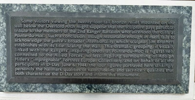
Photographed by Brandon D Cross, 2024
1. Scaling the Wall Marker
Erected by National D-Day Memorial.
Topics and series. This memorial is listed in these topic lists: Arts, Letters, Music • War, World II. In addition, it is included in the U.S. National D-Day Memorial series
this page online
Location. 37° 19.814′ N, 79° 32.16′ W. Memorial is in Bedford, Virginia, in Bedford County. It can be reached from Overlord Circle 0.4 miles west of Burks Hill Road. The Marker is located on the grounds of the National D-Day Memorial. Touch for map. Memorial is at or near this postal address: 3 Overlord Circle, Bedford VA 24523, United States of America. Touch for directions.

Regionally, this memorial is in Southwest Virginia. It is also in the American South and specifically in the Upper South. Globally, it is in North America, the Western Hemisphere, the Western World, and the Anglosphere. Historically, it finds itself in what was once the territory of the Mississippian Culture, one of the original Thirteen Colonies, one of the Confederate States of America, and the Antebellum South.
Other nearby markers. At least 8 other markers are within walking distance of this marker: Combat Medics (a few steps from this marker); D-Day Monument (a few steps from this marker); The Royal Air Force (RAF) (a few steps from this marker); USS Arkansas, BB-33 (a few steps from this marker);
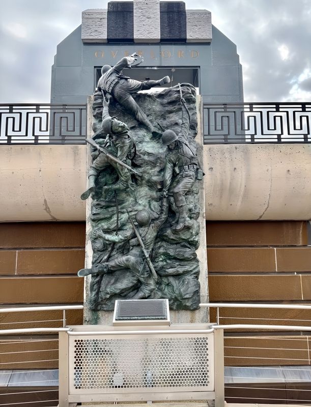
Photographed by Brandon D Cross
2. Scaling the Wall Marker
Also see . . .
1. Photos of Pointe du Hoc on D-Day – 1944 Normandy landings. D Day Overlord website entry (Submitted on October 15, 2025, by Larry Gertner of New York, New York.)
2. National D-Day Memorial. (Submitted on February 27, 2024, by Brandon D Cross of Flagler Beach, Florida.)
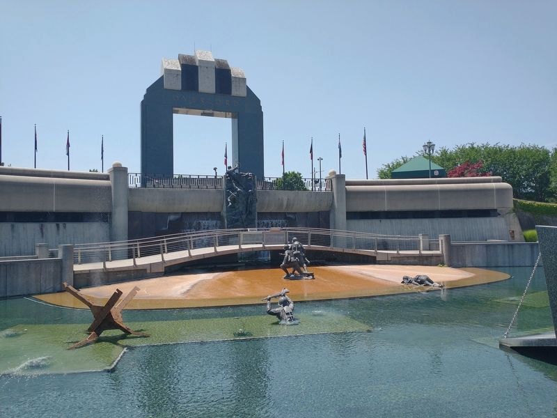
Photographed by Tom Bosse, July 3, 2026
3. Scaling the Wall Marker
Credits. This page was last revised on August 4, 2026. It was originally submitted on February 27, 2024, by Brandon D Cross of Flagler Beach, Florida. This page has been viewed 183 times since then and 28 times this year. Photos: 1, 2. submitted on February 27, 2024, by Brandon D Cross of Flagler Beach, Florida. 3. submitted on July 25, 2026, by Tom Bosse of Jefferson City, Tennessee. • Andrew Ruppenstein was the editor who published this page.
