Landisburg in Perry County, Pennsylvania — The American Northeast (Mid-Atlantic)
Perry County
1820 - 1970
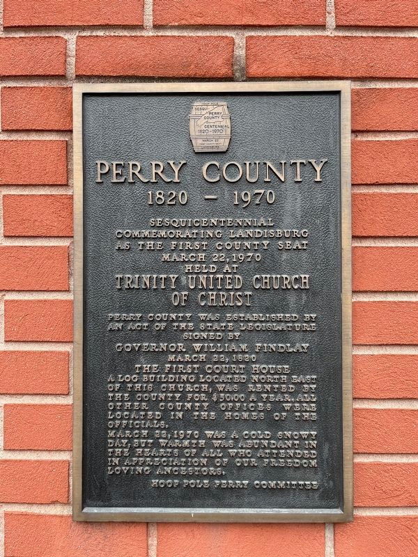
commemorating Landisburg
as the first county seat
March 22, 1970
held at
Trinity United Church
of Christ
Perry County was established by an act of the state legislature signed by
March 22, 1820
The first court house
March 22, 1970 was a cold snowy day, but warmth was abundant in the hearts of all who attended in appreciation of our freedom loving ancestors.
Erected 1970 by Hoop Pole Perry Committee.
Topics. This historical marker is listed in these topic lists: Government & Politics • Political Subdivisions. A significant historical date for this entry is March 22, 1820.
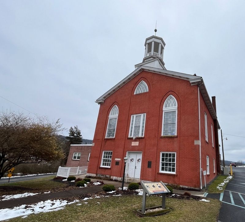
Location. 40° 20.479′ N, 77° 18.457′ W. Marker is in Landisburg, Pennsylvania, in Perry County. It is at the intersection of South Carlisle Street (Pennsylvania Route 850) and Kennedy Valley Road, on the right when traveling south on South Carlisle Street. Touch for map. Marker is at or near this postal address: 108 S Carlisle St, Landisburg
this page online

Regionally, this marker is in South-Central Pennsylvania, in the Susquehanna Valley, and in Greater Harrisburg. It is also in the American Northeast, in the Mid-Atlantic, in Appalachia, and specifically in Northern Appalachia. Globally, it is in North America, the Western Hemisphere, the Western World, and the Anglosphere. Historically, it finds itself in what was once the Haudenosaunee (Iroquois) Confederacy and also one of the original Thirteen Colonies.
Other nearby markers. At least 8 other markers are within walking distance of this marker: New Hope United Church of Christ (here, next to this marker); The Above Corner Stone (here, next to this marker); Fetter House (about 300 feet away, measured in a direct line); Landisburg Architecture (about 300 feet away); The Dunbar-Creigh House (about 300 feet away); Landisburg (about 500 feet away); a different marker also named Landisburg (about 500 feet away); Perry County's First Seat of Government (about 500 feet away). Touch for a list and map of all markers in Landisburg.
Credits. This page was last revised on March 28, 2024. It was originally submitted on February 29, 2024, by Devry Becker Jones of Washington, District of Columbia. This page has been viewed 159 times since then and 17 times this year. Photos: 1, 2. submitted on February 29, 2024, by Devry Becker Jones of Washington, District of Columbia.
