Natchez in Natchitoches Parish, Louisiana — The American South (West South Central)
Working Iron
Photographed by Cajun Scrambler, July 2, 2023
1. Working Iron Marker
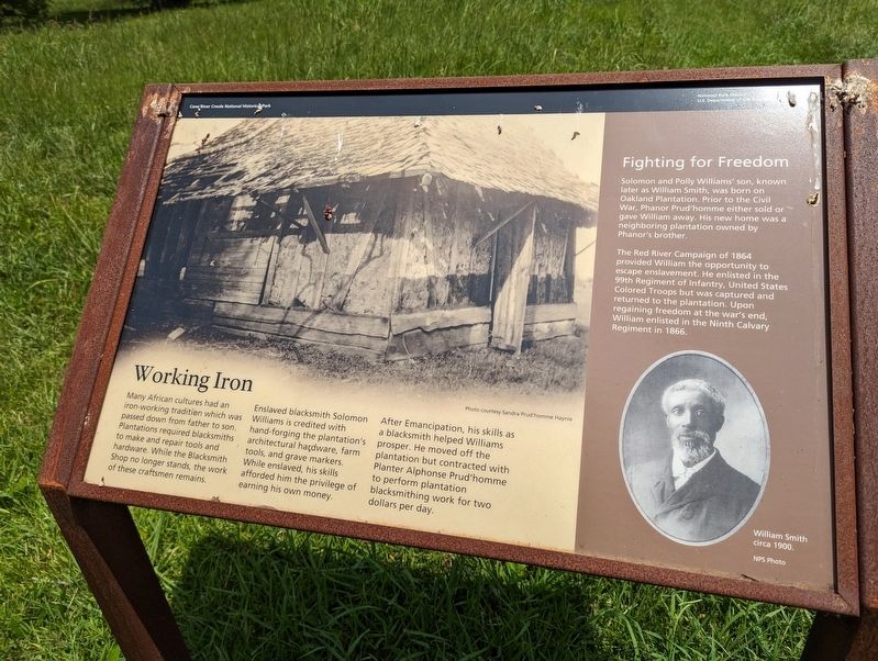
Many African cultures had an iron-working tradition which was passed down from father to son. Plantations required blacksmiths to make and repair tools and hardware. While the Blacksmith Shop no longer stands, the work of these craftsmen remains.
Enslaved blacksmith Solomon Williams is credited with hand-forging the plantation's architectural hardware, farm tools, and grave markers. While enslaved, his skills afforded him the privilege of earning his own money.
After Emancipation, his skills as a blacksmith helped Williams prosper. He moved off the plantation but contracted with Planter Alphonse Prud'homme to perform plantation blacksmithing work for two dollars per day.
Solomon and Polly Williams' son, known later as William Smith, was born on Oakland Plantation. Prior to the Civil War, Phanor Prud'homme either sold or gave William away. His new home was a neighboring plantation owned by Phanor's brother.
The Red River Campaign of 1864 provided William the opportunity to escape enslavement. He enlisted in the 99th Regiment of Infantry, United States Colored Troops but was
this page online
Erected by National Park Service.
Topics. This historical marker is listed in these topic lists: Industry & Commerce • Settlements & Settlers • War, US Civil.
Location. 31° 39.952′ N, 93° 0.145′ W. Marker is in Natchez, Louisiana, in Natchitoches Parish. It is on Route 119/424. Touch for map. Marker is in this post office area: Natchez LA 71456, United States of America. Touch for directions.

Regionally, this marker is in Central Louisiana. It is also in the American South, specifically in the Deep South, and in the Piney Woods. Globally, it is in North America, a Gulf of Mexico state, the Western Hemisphere, the Western World, and the Anglosphere. Historically, it finds itself in what was once New Spain, the Viceroyalty of New France, the territory of the Mississippian Culture, the Louisiana Purchase, one of the Confederate States of America, and the Antebellum South.
Other nearby markers. At least 8 other
Photographed by Cajun Scrambler, July 2, 2023
2. Working Iron Marker
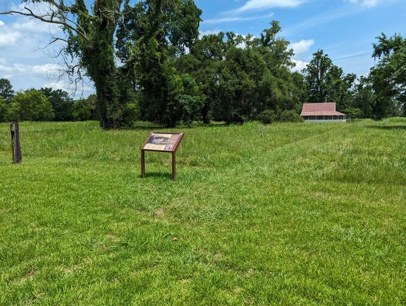
More about this marker. Located on the grounds of the Oakland Plantation, part of the Cane River Creole National Historic Park.
Credits. This page was last revised on March 1, 2024. It was originally submitted on March 1, 2024, by Cajun Scrambler of Assumption, Louisiana. This page has been viewed 248 times since then and 36 times this year. Photos: 1, 2. submitted on March 1, 2024, by Cajun Scrambler of Assumption, Louisiana.
