
Weiden in der Oberpfalz, Bavaria, Germany — Central Europe
Evangelisch - Lutherische Stadtpfarrkirche St. Michael
Photographed by James Hulse, February 17, 2024
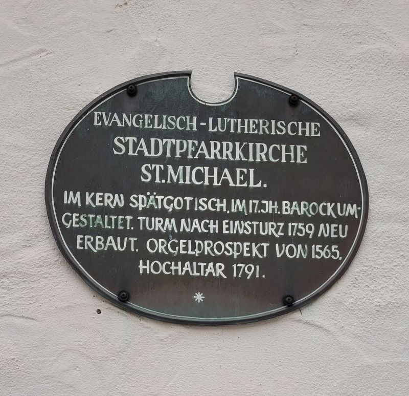
1. Evangelisch - Lutherische Stadtpfarrkirche St. Michael Marker

Gestaltet. Turm Nach Einsturz 1759 Neu
Erbaut. Orgelprospekt von 1565.
Hochaltar 1791.
Essentially late Gothic, in the 17th century. Baroque
style. Tower rebuilt after collapse in 1759.
Organ front from 1565.
High altar 1791.
Topics. This historical marker is listed in this topic list: Religion & Religious Structures. A significant historical year for this entry is 1759.
Location. 49° 40.52′ N, 12° 9.757′ E. Marker is in Weiden in der Oberpfalz, Bayern (Bavaria). It is at the intersection of Schulgasse and Oberer Markt, on the right when traveling south on Schulgasse. The marker is located at the east front side of the church. Touch for map. Marker is at or near this postal address: Schulgasse 1, Weiden in der Oberpfalz BY 92637, Germany. Touch for directions.

Regionally, it is in Europe, the European Union, Atlantic Europe, Central Europe, the Schengen Area, Western Europe, and the Western World. Historically, it finds itself in what was once the Holy Roman Empire.
Other nearby markers. At
this page online
Photographed by James Hulse, February 17, 2024
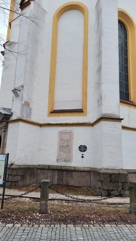
2. The Marker at the base of the church
Photographed by James Hulse, February 17, 2024
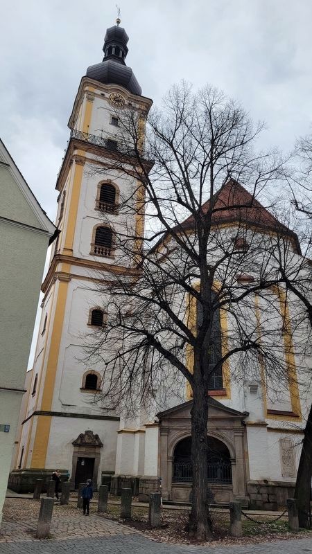
3. Evangelical - Lutheran Parish Church of St. Michael
Credits. This page was last revised on March 2, 2024. It was originally submitted on March 2, 2024, by James Hulse of Medina, Texas. This page has been viewed 124 times since then and 10 times this year. Photos: 1, 2, 3. submitted on March 2, 2024, by James Hulse of Medina, Texas.
