Oakville in Halton Region, Ontario — Central Canada (North America)
Industrial Change 1810 to 1870
Pioneer Industry
— Sixteen Mile Creek Trail —
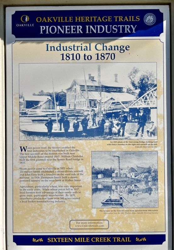
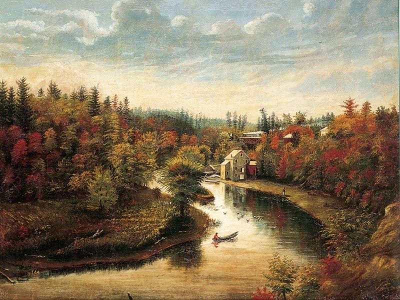
Water power from the Sixteen enabled the first industries to be established in Oakville. The first sawmill on the Sixteen was built near Upper Middle Road around 1810. William Chisholm built the first gristmill near the Speers Road bridge in 1833.
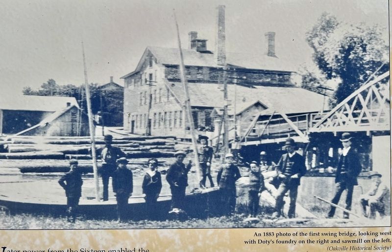
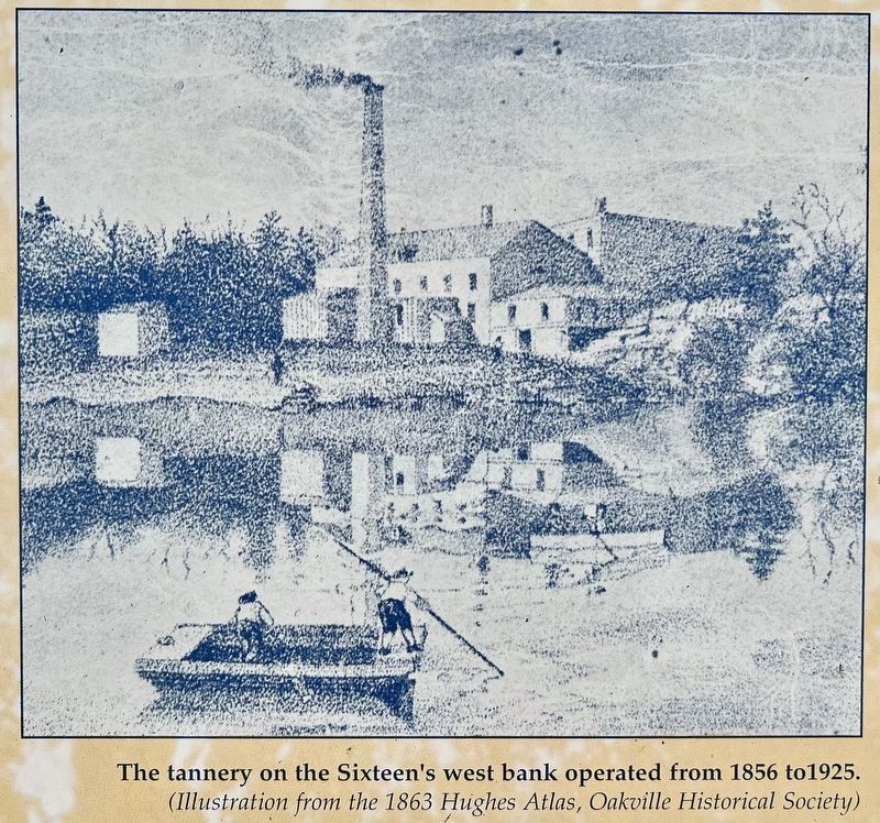
Steam power came to Oakville in 1851 when Thompson Smith established a steam-driven sawmill and John Doty built a foundry on the west side of the harbour. In 1856 Thompson Smith built a steam-powered tannery on the west bank at Walker Street.
Agriculture, particularly wheat, was very important in the early years. When wheat prices fell in 1857, local farmers took advantage of their sandy soils to grow fruit, particularly strawberries. By 1870, strawberry production from over 300 acres created a local basket manufacturing industry.
Topics. This historical marker is listed in these topic lists: Agriculture • Industry & Commerce. A significant historical year for this entry is 1810.
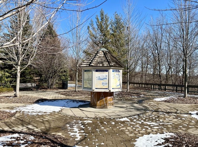
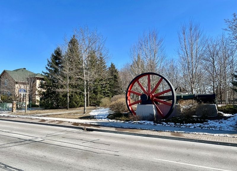
Location. 43° 27.195′ N, 79° 40.926′ W. Marker is in Oakville, Ontario, in Halton Region. Marker is on Cornwall Road, 0.2 kilometers west of Trafalgar Road, on the right when traveling east. The marker is in the Old Mill Parkette. Touch for map. Marker is at or near this postal address: 120 Cornwall Rd, Oakville ON L6J 7V8, Canada. Touch for directions.
Other nearby markers. At least 8 other markers are within walking distance of this marker. Oakville’s First Industrial Era (here, next to this marker); The Oakville Basket Company (here, next to this marker); From Wheat to Strawberries (here, next to this marker); The Lorne Scots (approx. 1.1 kilometers away); Oakville and Trafalgar, 1806-1870 (approx. 1.1 kilometers away); An Isolated Township (approx. 1.1 kilometers away); The Prosperous Years (approx. 1.1 kilometers away); Churches Schools and Taverns (approx. 1.1 kilometers away). Touch for a list and map of all markers in Oakville.
Credits. This page was last revised on March 7, 2024. It was originally submitted on March 2, 2024, by Tim Boyd of Hamilton, Ontario. This page has been viewed 32 times since then. Photos: 1, 2, 3, 4, 5, 6. submitted on March 2, 2024, by Tim Boyd of Hamilton, Ontario. • Andrew Ruppenstein was the editor who published this page.
