Oakville in Halton Region, Ontario — Central Canada (North America)
From Wheat to Strawberries
Pioneer Industry
— Sixteen Mile Creek Trail —
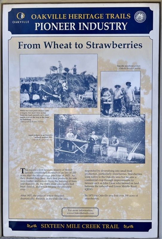
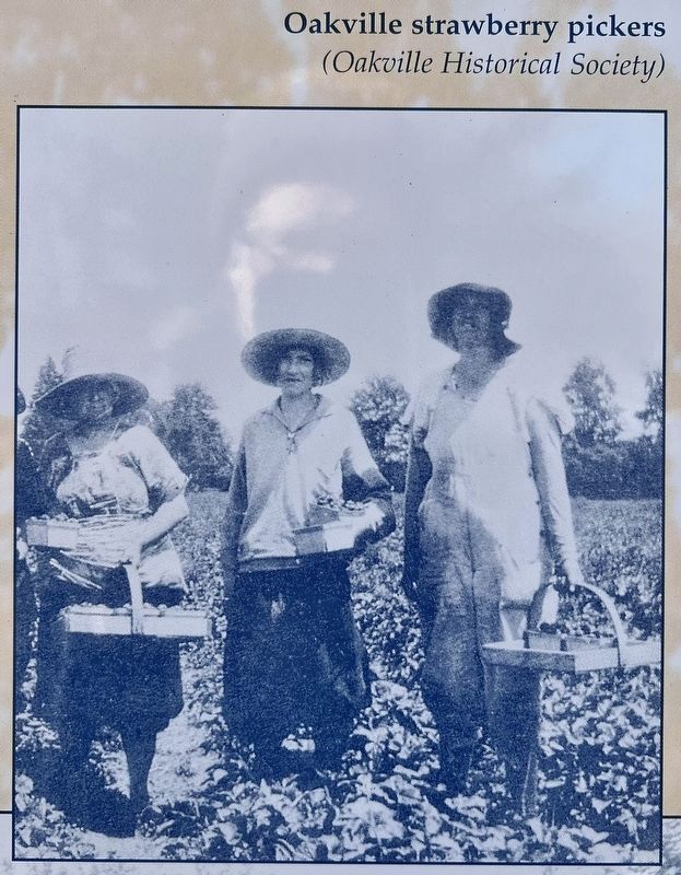
After 1857, the price of wheat dropped dramatically. Farmers in the Oakville area responded by diversifying into small fruit production, particularly strawberries. Strawberries were native to the Oakville area but became a commercial crop through improvements by farmers such as John Cross who farmed on land between the railroad and Lower Middle Road (QEW).
By 1870 the Oakville area had over 300 acres of strawberries.
Topics. This historical marker is listed in these topic lists: Agriculture • Settlements & Settlers. A significant historical year for this entry is 1805.
Location. 43° 27.195′ N, 79° 40.922′ W. Marker is in Oakville, Ontario, in Halton Region. Marker is on Cornwall Road, 0.2 kilometers west of Trafalgar Road, on the right when traveling east. Tthe marker is in Old Mill Parkette. Touch for map. Marker is at or near this postal address: 120 Cornwall Road, Oakville ON L6J 7V8, Canada. Touch for directions.
Other nearby markers. At least 8 other markers are within walking distance of this marker. The Oakville Basket Company (here, next to this marker); Oakville’s First Industrial Era (here, next to this marker); Industrial Change 1810 to 1870 (here, next to this marker); The Lorne Scots (approx. 1.1 kilometers away); Oakville and Trafalgar, 1806-1870 (approx. 1.1 kilometers away); An Isolated Township (approx. 1.1 kilometers away); The Prosperous Years (approx. 1.1 kilometers away); Churches Schools and Taverns (approx. 1.1 kilometers away). Touch for a list and map of all markers in Oakville.
Credits. This page was last revised on March 6, 2024. It was originally submitted on March 2, 2024, by Tim Boyd of Hamilton, Ontario. This page has been viewed 34 times since then. Photos: 1, 2, 3, 4, 5. submitted on March 2, 2024, by Tim Boyd of Hamilton, Ontario. • Andrew Ruppenstein was the editor who published this page.


