Valley City in Barnes County, North Dakota — The American Midwest (Upper Plains)
Our Sheyenne River
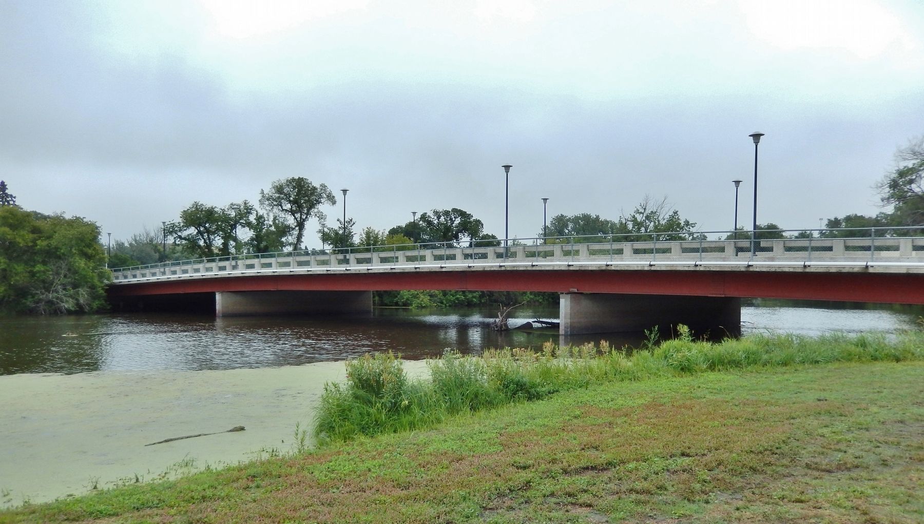
Hospital Bridge
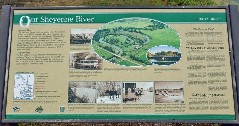
Sheyenne River
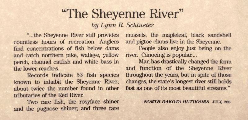
The river was formed by the meltwater of the Wisconsinan glacier about 13,000 years ago. The valley constitutes the glacier's western edge at that time. Flowing 581 miles from its headwaters located 15 miles north of McClusky in Sheridan County until it converges with the Red River at Fargo, the Sheyenne River is the longest river located within North Dakota. The river valley from Baldhill Dam at Lake Ashtabula and south to Lisbon can be as deep as 200 feet and a mile wide.
Hospital Bridge
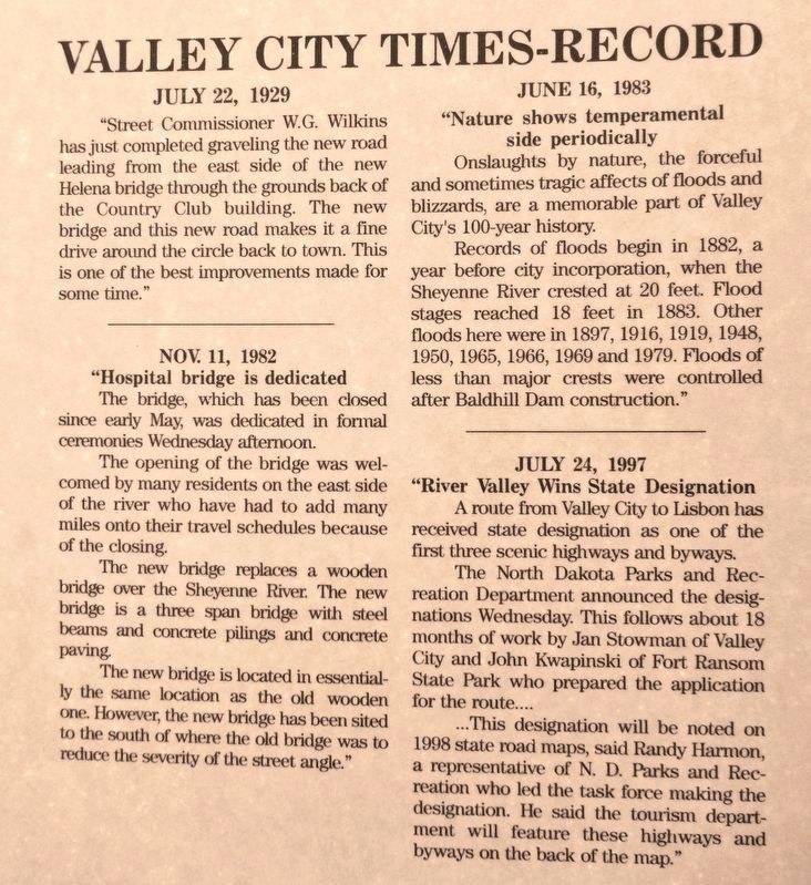
The first bridge, a wooden structure, was built in 1929 by J. A. Jardine of Fargo to provide easier access to the Country Club and Northwest Nursery farm. Thereafter, the route from one side of the river to the other at this point was reduced from almost 2 miles to less than 300 feet.
[photo captions]
• Because it greatly reduced the distance from town, the Northwest Nursery farm contributed a considerable sum of money towards the construction of this bridge.
• On June 12, 1894, the steam launch “Helen” owned by W. J. Sherbourne made its maiden voyage from the boat launch above the mill dam as far north as where Maryvale now stands. During the summer months regular runs were made on Saturdays and Sundays at 25˘ per ride.
• Located 5 miles south of Valley City on the state designated Sheyenne River Valley Scenic Byway, this series of oxbows is typical of the extremely winding Sheyenne River. The shortest route between two points is NOT the Sheyenne River!
• In pioneer days fishing was not merely recreational. Fish and wild game provided by the river and surrounding valley were staples of the Anna (Mrs. Ole) Esby family of Getchell Township north of Valley City.
• The river valley consists of a combination of grassland, woodland and shrubland which provides food and habitat for a wide variety of wildlife such as deer, game birds, beaver and numerous others. Moose, once rarely seen in the valley, are now increasing in numbers.
• Since Valley City’s early days to the present, being built along the river means living with periodic flooding from spring runoff and heavy rains. Diking and other flood prevention measures have lessened the threat in recent years.
• Baldhill Dam, located 16 miles upstream from Valley City, was intended to stabilize flows on the Sheyenne River, to provide water supply downstream in drought years and to help with flood control in wet years. Lake Ashtabula behind Baldhill Dam has a total capacity of 70,700 acre-feet at the normal full pool level, increasing to 116,500 acre-feet at flood stage.
Erected by The City of Valley City and Valley City Bridges Task Force.
Topics. This historical marker is listed in these topic lists: Bridges & Viaducts • Settlements & Settlers • Waterways & Vessels. A significant historical date for this entry is November 11, 1982.
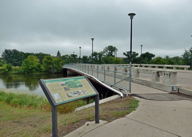
Location. 46° 55.736′ N, 97° 59.555′ W. Marker is in Valley City, North Dakota, in Barnes County. Marker is at the intersection of 6th Street Northeast and 8th Avenue Northeast, on the right when traveling east on 6th Street Northeast. The marker is located along the sidewalk at the northeast corner of the intersection, overlooking the Sheyenne River and the subject bridge. Touch for map. Marker is in this post office area: Valley City ND 58072, United States of America. Touch for directions.
Other nearby markers. At least 8 other markers are within walking distance of this marker. Rainbow on the Sheyenne (approx. 0.4 miles away); First Boy Scout Encampment in North Dakota (approx. half a mile away); High Above the Sheyenne (approx. half a mile away); Northern Pacific High Line Bridge No. 64 (approx. half a mile away); Herman Stern (approx. 0.6 miles away); Votes For Women (approx. 0.7 miles away); Caboose (approx. 0.7 miles away); Footbridge to Fun (approx. 0.7 miles away). Touch for a list and map of all markers in Valley City.
Related markers. Click here for a list of markers that are related to this marker. Valley City Historic Bridges Tour
Credits. This page was last revised on March 6, 2024. It was originally submitted on March 3, 2024, by Cosmos Mariner of Cape Canaveral, Florida. This page has been viewed 51 times since then. Photos: 1, 2, 3, 4, 5. submitted on March 5, 2024, by Cosmos Mariner of Cape Canaveral, Florida.
