Valley City in Barnes County, North Dakota — The American Midwest (Upper Plains)
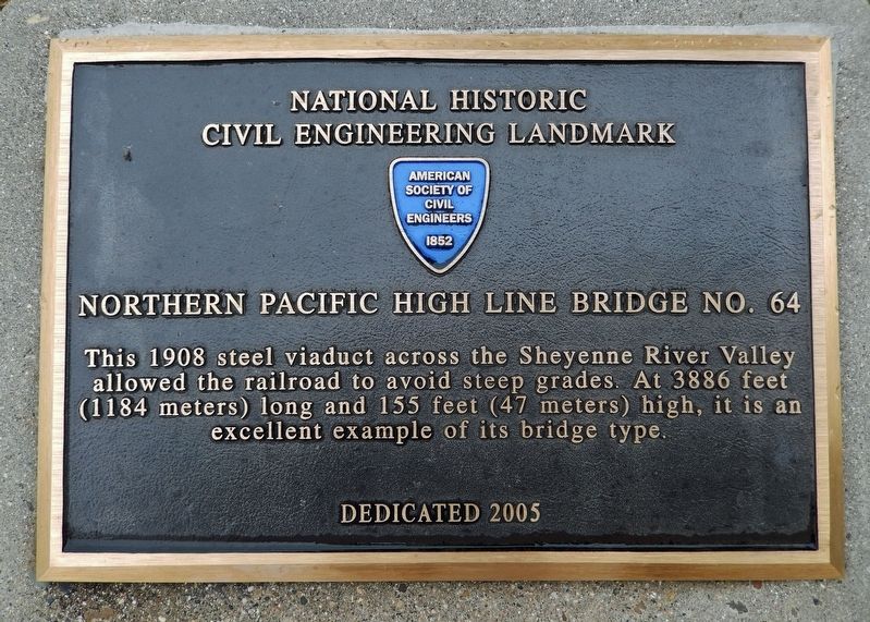
Northern Pacific High Line Bridge No. 64
National Historic Civil Engineering Landmark
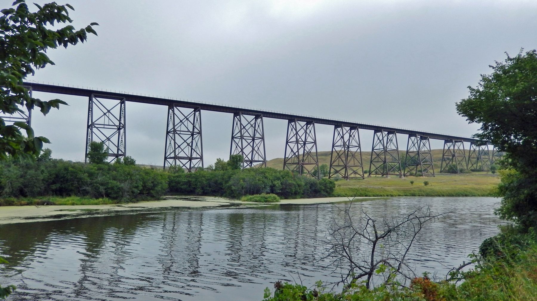
This 1908 steel viaduct across the Sheyenne River Valley allowed the railroad to avoid steep grades. At 3886 feet (1184 meters) long and 155 feet (47 meters) high, it is an excellent example of this bridge type.
Erected 2005 by American Society of Civil Engineers.
Topics and series. This historical marker is listed in these topic lists: Architecture • Bridges & Viaducts • Railroads & Streetcars • Waterways & Vessels. In addition, it is included in the ASCE Civil Engineering Landmarks series list. A significant historical year for this entry is 1908.
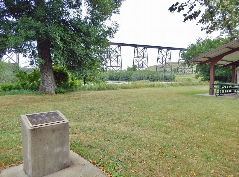
Location. 46° 56.201′ N, 97° 59.402′ W. Marker is in Valley City, North Dakota, in Barnes County. Marker can be reached from 12th Street Northeast, 0.2 miles east of 6th Avenue Northeast (Chautauqua Boulevard), on the left when traveling east. The marker is located on the north side of Chautauqua Park, overlooking the High Line Bridge and the Sheyenne River. Touch for map. Marker is at or near this postal address: 933 12th Street Northeast, Valley City ND 58072, United States of America. Touch for directions.
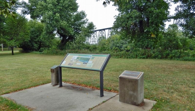
Other nearby markers. At least 8 other markers are within 2 miles of this marker, measured as the crow flies. High Above the Sheyenne (here, next to this marker); First Boy Scout Encampment in North Dakota (here, next to this marker); Our Sheyenne River (approx. half a mile away); Rainbow on the Sheyenne (approx. 0.9 miles away); Votes For Women (approx. one mile away); Herman Stern (approx. 1.1 miles away); Caboose (approx. 1.1 miles away); Rosebud Visitor Center Along the Byway (approx. 1.2 miles away). Touch for a list and map of all markers in Valley City.
Related markers. Click here for a list of markers that are related to this marker. Valley City Historic Bridges Tour
Also see . . .
1. Hi-Line Railroad Bridge (Wikipedia). Excerpt:
Construction work began on July 5, 1906, and it was ready for service on May 8, 1908. At the time it was the longest bridge for its height in the world. It currently remains one of the longest and highest single track railroad viaducts in the United States. The 61 spans of the bridge are supported on 30 steel towers, each of which is 45 feet long at the top. The distance between towers at their tops is either 60, 75, or 101 feet. Two of the long spans are above the Sheyenne River and the third crosses over tracks of the former Soo Line Railroad, now part of the Canadian Pacific Railroad. Each of the steel towers is supported on four concrete foundation piers measuring 6 feet square at their tops and expanding to 14 to 18 feet square at their bases, depending on subsurface conditions. Approximately one million rivets were used in construction of the bridge.(Submitted on March 4, 2024, by Cosmos Mariner of Cape Canaveral, Florida.)
2. Northern Pacific High Line Bridge No 64. Excerpt:
Nearly, 100 years after this bridge officially opened, it still carried 125-ton car unit coal trains, double stack container trains, lumber, and refined products at train speeds of 50 m.p.h. The High Line Bridge was built to overcome the need to use helper engines to overcome grades exceeding 1 percent that occurred between Alta (Peak) and Berea. These helper engines added expenditures and incurred delays in train operation. To construct this viaduct the project engineer estimated that 1,250,000 cubic yards of earth would have to be moved. Despite experiencing at least one tornado, having to deal with quicksand and clay in the riverbed, and a scarcity of good gravel for making concrete, the bridge was finally ready for its official opening on May 12, 1908.(Submitted on March 4, 2024, by Cosmos Mariner of Cape Canaveral, Florida.)
Credits. This page was last revised on March 6, 2024. It was originally submitted on March 3, 2024, by Cosmos Mariner of Cape Canaveral, Florida. This page has been viewed 65 times since then. Photos: 1, 2, 3, 4. submitted on March 4, 2024, by Cosmos Mariner of Cape Canaveral, Florida.


