Stockton in San Joaquin County, California — The American West (Pacific Coastal)
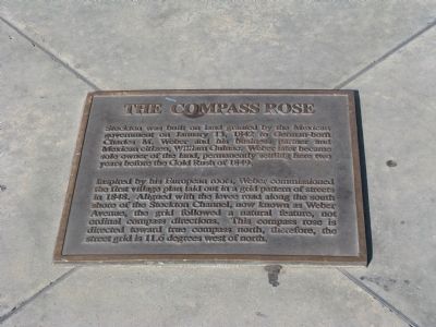
The Compass Rose
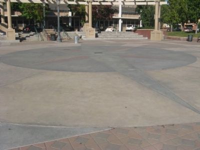
Inspired by his European roots, Weber commissioned the first village plan laid out in a grid pattern of streets in 1848. Aligned with the levee road along the south shore of the Stockton Channel, now known as Weber Avenue, the grid followed a natural feature, not ordinal compass directions. This compass rose is directed toward true compass north, therefore, the street grid is 11.6 degrees west of north.
Topics. This historical marker is listed in this topic list: Notable Places. A significant historical date for this entry is January 13, 1842.
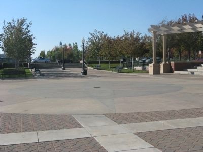
Location. 37° 57.256′ N, 121° 17.453′ W. Marker is in Stockton, California, in San Joaquin County. Marker can be reached from North El Dorado Street. Marker is located in the center of the Dean DeCarli Waterfront Square between Center Street and North El Dorado Street. Touch for map. Marker is in this post office area: Stockton CA 95202, United States of America. Touch for directions.
Other nearby markers. At least 8 other markers are within walking distance of this marker. Head of Navigation (about 300 feet away, measured in a direct line); The Sister City Story (about 300 feet away); B & M Building (about 400 feet away); San Joaquin County Courthouse (about 500 feet away); Weber Point Home – 1850 (about 600 feet away); Weber Point (about 600 feet away); Saint John’s Episcopal Church and Guild Hall (about 600 feet away); Tretheway Block - Argonaut Hotel (approx. 0.2 miles away). Touch for a list and map of all markers in Stockton.
Credits. This page was last revised on June 16, 2016. It was originally submitted on November 8, 2009, by Syd Whittle of Mesa, Arizona. This page has been viewed 1,072 times since then and 27 times this year. Photos: 1, 2, 3. submitted on November 8, 2009, by Syd Whittle of Mesa, Arizona.


