Charleston in Charleston County, South Carolina — The American South (South Atlantic)
Slave Trading Complex
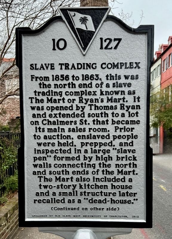
From 1856 to 1863, this was the north end of a slave trading complex known as The Mart or Ryan's Mart. It was opened by Thomas Ryan and extended south to a lot on Chalmers St. that became its main sales room. Prior to auction, enslaved people were held, prepped, and inspected in a large “slave pen" formed by high brick walls connecting the north and south ends of the Mart. The Mart also included a two-story kitchen house and a small structure later recalled as a "dead-house."
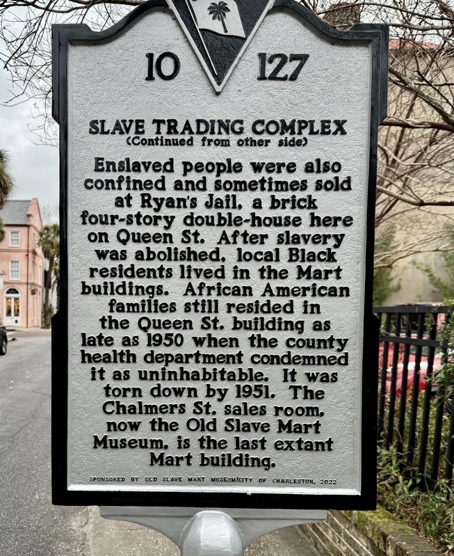
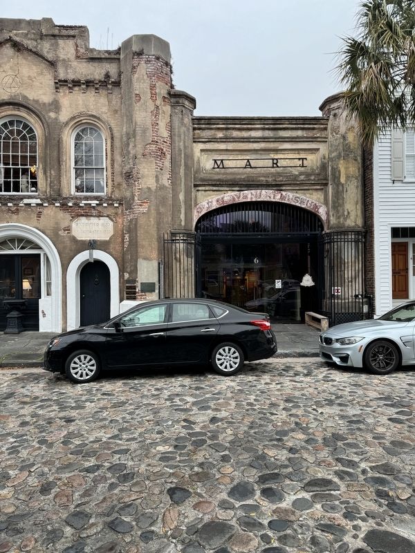
Enslaved people were also confined and sometimes sold at Ryan's Jail, a brick four-story double-house here on Queen St. After slavery was abolished, local Black residents lived in the Mart buildings. African American families still resided in the Queen St. building as late as 1950 when the county health department condemned it as uninhabitable. It was torn down by 1951. The Chalmers St. sales room, now the Old Slave Mart Museum, is the last extant Mart building.
Erected 2022 by Old Slave Mart Museum and City of Charleston. (Marker Number 10-127.)
Topics. This historical marker is listed in these topic lists: African Americans • Civil Rights. A significant historical year for this entry is 1856.
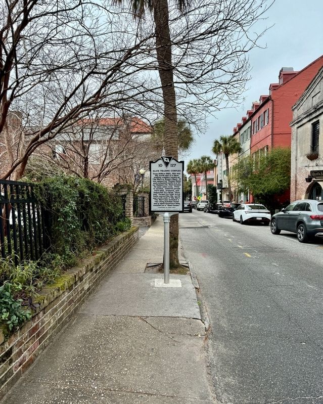
Location. 32° 46.706′ N, 79° 55.708′ W. Marker is in Charleston , South Carolina, in Charleston County. Marker is on Queen Street west of State Street, on the left when traveling west. Touch for map. Marker is at or near this postal address: 19 Queen Street, Charleston SC 29401, United States of America. Touch for directions.
Other nearby markers. At least 8 other markers are within walking distance of this marker. The Footlight Players Workshop (a few steps from this marker); Johnson's Row (within shouting distance of this marker); Wagner-Trott Building (within shouting distance of this marker); 8 Queen Street (within shouting distance of this marker); Charles Pinckney (within shouting distance of this marker); 19 State Street (within shouting distance of this marker); a different marker also named Slave Trading Complex (within shouting distance of this marker); Huguenot Church (about 300 feet away, measured in a direct line). Touch for a list and map of all markers in Charleston.
Also see . . . Old Slave Mart Museum. (Submitted on March 3, 2024, by Brandon D Cross of Flagler Beach, Florida.)
Credits. This page was last revised on March 5, 2024. It was originally submitted on March 3, 2024. This page has been viewed 62 times since then. Last updated on March 5, 2024. Photos: 1, 2, 3, 4. submitted on March 3, 2024, by Brandon D Cross of Flagler Beach, Florida. • Devry Becker Jones was the editor who published this page.


