Charleston in Charleston County, South Carolina — The American South (South Atlantic)
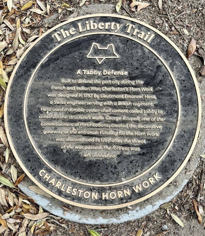
A Tabby Defense
The Liberty Trail
| — | Charleston Horn Work | — |
Photographed by Brandon D Cross
1. A Tabby Defense Marker
Erected 2024 by The Liberty Trail, American Battlefield Trust, South Carolina Battleground Preservation Trust and the Board of Field Officers of the Fourth Brigade.
Topics. This memorial is listed in these topic lists: Architecture • Forts and Castles • War, US Revolutionary. A significant historical year for this entry is 1757.
Location. 32° 47.209′ N, 79° 56.118′ W. Memorial is in Charleston, South Carolina, in Charleston County. It can be reached from Meeting Street south of Charlotte Street, on the right when traveling south. The marker is located within Charleston’s Marion Square. Touch for map. Memorial is
this page online

Regionally, this memorial is in Historic Charleston and in the Lowcountry. It is also in the American South, specifically in the Deep South, and on the Eastern Seaboard. Globally, it is in the North Atlantic Region, North America, the Western Hemisphere, the Western World, and the Anglosphere. Historically, it finds itself in what was once the territory of the Mississippian Culture, one of the original Thirteen Colonies, one of the Confederate States of America, and the Antebellum South.
Other nearby markers. At least 8 other markers are within walking distance of this marker: The Horn Work on Marion Square (within shouting distance of this marker); Reclaiming Charleston’s History (within shouting distance of this marker); Marion Square (within shouting distance of this marker); Calhoun (within shouting distance of this marker); Holocaust Memorial (within shouting distance of this marker); Surrender, then Victory (within shouting distance of this marker); Wade Hampton Monument (within shouting distance
Photographed by Brandon D Cross
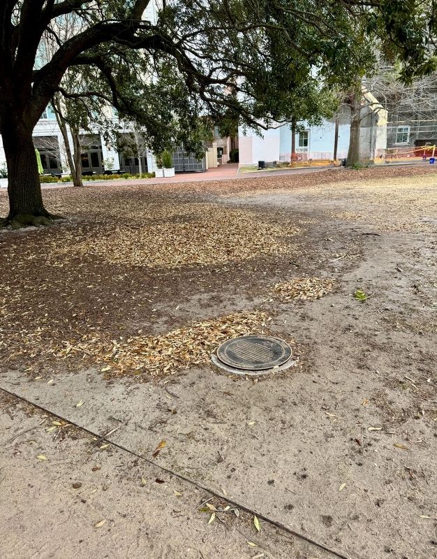
2. A Tabby Defense Marker
Also see . . .
1. Hidden beneath Marion Square, a colonial-era fortress gets historical markers. (Submitted on March 5, 2024, by Brandon D Cross of Flagler Beach, Florida.)
2. The Horn Work: Marion’s Square’s Tabby Fortress. (Submitted on March 5, 2024, by Brandon D Cross of Flagler Beach, Florida.)
Photographed by Brandon D Cross
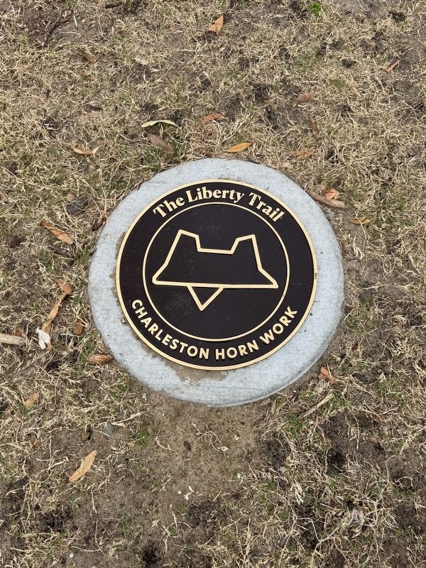
3. The Liberty Trail outline marker
One of 32 in-ground markers tracing the footprint of the Charleston Horn Work
Credits. This page was last revised on March 5, 2024. It was originally submitted on March 5, 2024, by Brandon D Cross of Flagler Beach, Florida. This page has been viewed 387 times since then and 32 times this year. Photos: 1, 2, 3. submitted on March 5, 2024, by Brandon D Cross of Flagler Beach, Florida. • Bernard Fisher was the editor who published this page.
