Near Marietta in Cobb County, Georgia — The American South (South Atlantic)
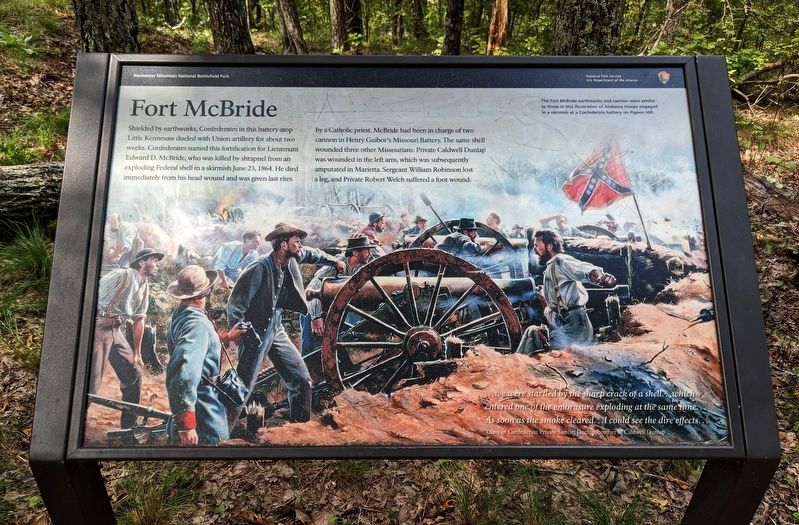
Fort McBride
— Kennesaw Mountain National Battlefield Park —
…we were startled by the sharp crack of a shell…which entered one of the embrasure exploding at the same time… As soon as the smoke cleared…I could see the dire effects…
— Diary of Confederate Private Samuel Dunlap, brother of Caldwell Dunlap
(caption) The Fort McBride earthworks and cannon were similar to those in this illustration of Alabama troops engaged in a skirmish at a Confederate battery on Pigeon Hill.
Erected by National Park Service, U.S. Department of the Interior.
Topics. This historical marker is listed in this topic list: War, US Civil. A significant historical date for this entry is June 23, 1864.
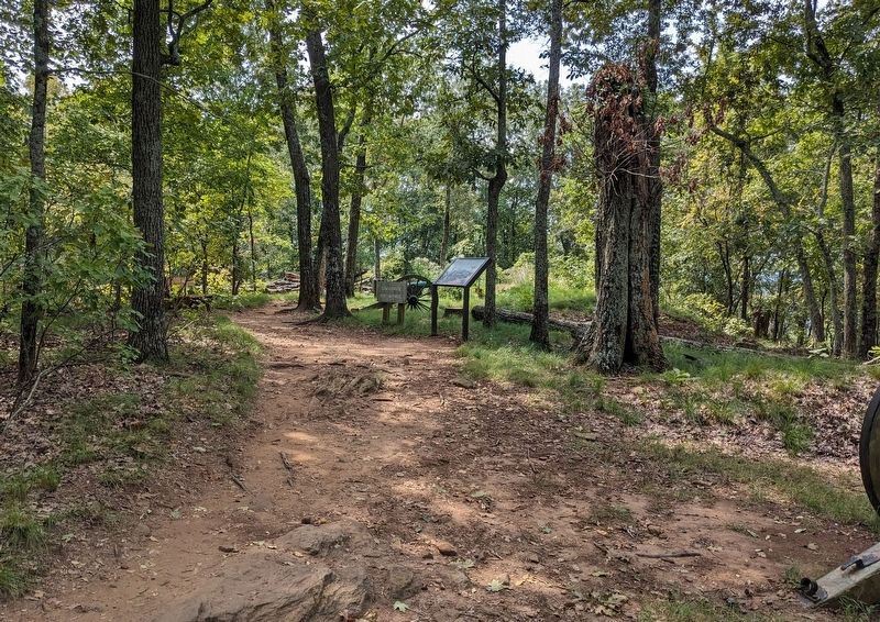
Location. 33° 58.256′ N, 84° 35.209′ W. Marker is near Marietta, Georgia, in Cobb County. Marker can be reached from the intersection of Kennesaw Mountain Drive and Stilesboro Road, on the left when traveling south. Marker is a wayside exhibit along the Little Kennesaw Mountain Trail, about 0.4 miles southwest of the trailhead at Kennesaw Mountain Drive. Touch for map. Marker is at or near this postal address: 1520 Burnt Hickory Rd NW, Marietta GA 30064, United States of America. Touch for directions.
Other nearby markers. At least 8 other markers are within walking distance of this marker. A Fake Attack (approx. 0.3 miles away); Cannon on Little Kennesaw (approx. 0.4 miles away); Embattled Earthworks (approx. half a mile away); War Comes To Kennesaw (approx. 0.6 miles away); Trading Hard Blows (approx. 0.6 miles away); The Atlanta Campaign ~ 1864 (approx. 0.6 miles away); The Atlanta Campaign (approx. 0.6 miles away); Atlanta Falls (approx. 0.6 miles away). Touch for a list and map of all markers in Marietta.
Also see . . . Kennesaw Mountain National Battlefield Park. National Park Service (Submitted on March 6, 2024.)
Credits. This page was last revised on March 6, 2024. It was originally submitted on March 5, 2024. This page has been viewed 55 times since then. Photos: 1, 2. submitted on March 5, 2024. • Bernard Fisher was the editor who published this page.

