Powhatan in Lawrence County, Arkansas — The American South (West South Central)
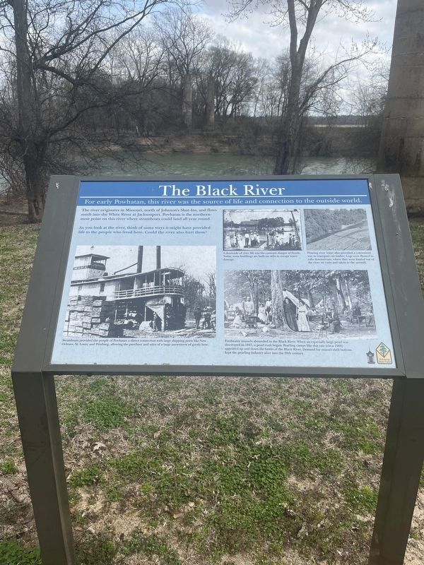
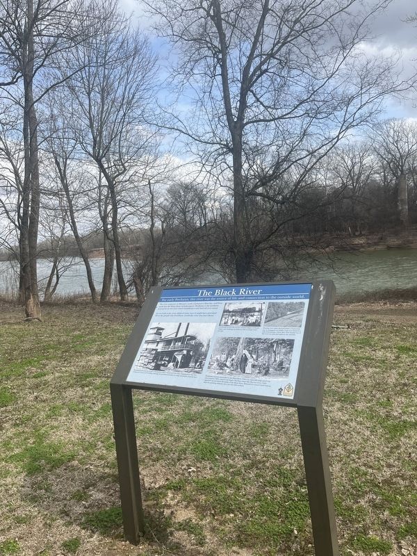
The Black River
For early Powhatan, this river was the source of life and connection to the outside world.
The river originates in Missouri, north of Johnson's Shut-Ins and flows south into the White River at Jacksonport. Powhatan is the northern most point on this river where steamboats could land all year round.
As you look the river think of some ways it might have provided life to the people who lived here. Could the river also hurt them?
(caption) Steamboats provided the people of Powhatan a direct connection with large shipping ports like New Orleans, St. Loius, and Pittsburg, allowing the purchase and sales of a large assortment of goods here.
(caption) A downside of river life was the constant danger of floods. Today, some buildings are built on stilts to escape water damage.
(caption) Flowing river water also provided a convenient way to transport cut timber. Logs were floated in rafts downstream, where they were hauled out of the river on carts and taken to the sawmill.
(caption) Freshwater mussels abounded in the Black river. When an especially large pearl was discovered in 1897, a pearl rush began. Pearling camps like this one (circa 1900) appeared up and down the banks of the Black River. Demand for mussel shell buttons kept the pearling industry alive into the 20th century.
Erected by Arkansas State Parks.
Topics. This historical marker is listed in these topic lists: Industry & Commerce • Waterways & Vessels.
Location. 36° 4.89′ N, 91° 7.034′ W. Marker is in Powhatan, Arkansas, in Lawrence County. Marker is on State Road 25, 0.1 miles 3rd. Street, on the right when traveling east. The marker is in Powhatan Historic State Park, close to the river. Touch for map. Marker is at or near this postal address: 4414 Ar 25, Powhatan AR 72458, United States of America. Touch for directions.
Other nearby markers. At least 8 other markers are within walking distance of this marker. Commercial Building (within shouting distance of this marker); Log Cabin (about 300 feet away, measured in a direct line); Log Cabin Kitchen (about 300 feet away); Powhatan Courthouse State Park (about 400 feet away); Uses of the Jail House (about 500 feet away); The Conviction of Samuel Helms (about 600 feet away); Powhatan Jail (about 600 feet away); Changes made to the Jail (about 700 feet away). Touch for a list and map of all markers in Powhatan.
Credits. This page was last revised on March 6, 2024. It was originally submitted on March 5, 2024, by Thomas Smith of Waterloo, Ill. This page has been viewed 44 times since then. Photos: 1, 2. submitted on March 5, 2024, by Thomas Smith of Waterloo, Ill. • Andrew Ruppenstein was the editor who published this page.

