Charleston in Charleston County, South Carolina — The American South (South Atlantic)
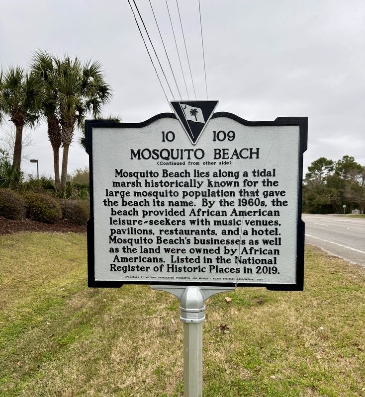
Mosquito Beach
(front)
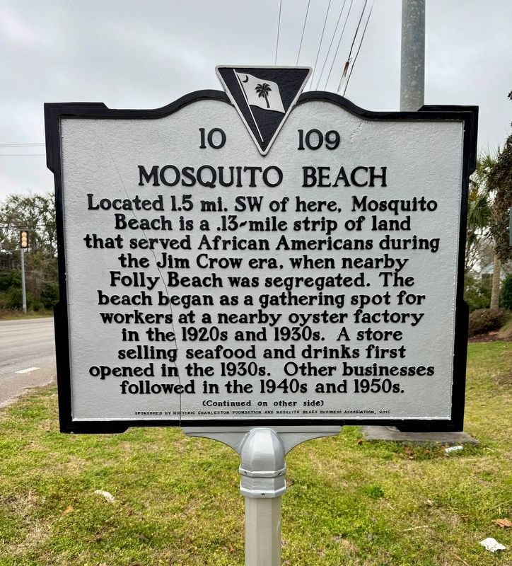
Located 1.5 mi. SW of here, Mosquito Beach is a .13-mile strip of land that served African Americans during the Jim Crow era, when nearby Folly Beach was segregated. The beach began as a gathering spot for workers at a nearby oyster factory in the 1920s and 1930s. A store selling seafood and drinks first opened in the 1930s. Other businesses followed in the 1940s and 1950s.
Erected 2019 by Historic Foundation and Mosquito Beach Business Association. (Marker Number 10-109.)
Topics. This historical marker is listed in these topic lists: African Americans • Civil Rights • Entertainment. A significant historical year for this entry is 1930.
Location. 32° 41.145′ N, 79° 57.593′ W. Marker is in Charleston, South Carolina, in Charleston County. Marker is at the intersection of Folly Road (South Carolina Route 171) and Sol Legare Road, on the right when traveling east on Folly Road. Touch for map. Marker is at or near this postal address: Folly Road, Charleston SC 29412, United States of America. Touch for directions.
Other nearby markers. At least 8 other markers are within 3 miles of this marker, measured as the crow flies. Battle of Sol-Legare Island (approx. half a mile away); Secessionville (approx. 1.6 miles away); Battle of Secessionville (approx. 1.6 miles away); Battery Number 5 (approx. 1.6 miles away); Riversville / Battle of Secessionville (approx. 1.9 miles away); Hunter's Volunteers (approx. 2.1 miles away); Camp of Wild's "African Brigade," 1863 - 1864 / Wild's Brigade Cemetery (approx. 2.2 miles away); Battery Reed (approx. 2.3 miles away). Touch for a list and map of all markers in Charleston.
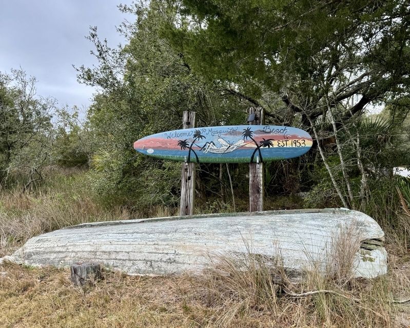
Also see . . . Welcome to Mosquito Beach. (Submitted on March 5, 2024, by Brandon D Cross of Flagler Beach, Florida.)
Credits. This page was last revised on March 6, 2024. It was originally submitted on March 5, 2024, by Brandon D Cross of Flagler Beach, Florida. This page has been viewed 66 times since then. Photos: 1, 2, 3. submitted on March 5, 2024, by Brandon D Cross of Flagler Beach, Florida. • Bernard Fisher was the editor who published this page.


