Anna Maria in Manatee County, Florida — The American South (South Atlantic)
Historic Anna Maria City Pier
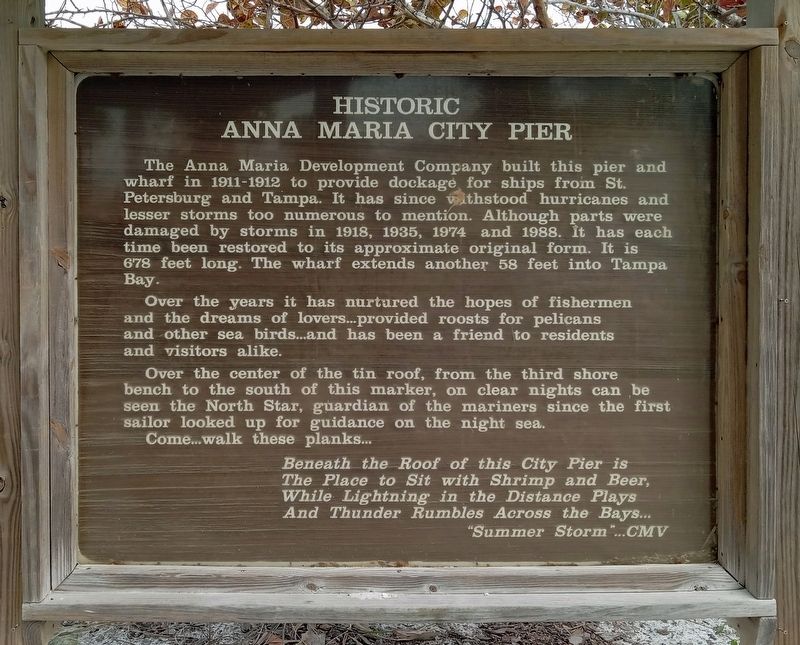
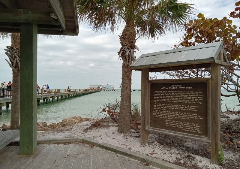
The Anna Maria Development Company built this pier and wharf in 1911-1912 to provide dockage for ships from St. Petersburg and Tampa. It has since withstood hurricanes and lesser storms too numerous to mention. Although parts were damaged by storms in 1918, 1935, 1974 and 1988. It has each time been restored to its approximate original form. It is 678 feet long. The wharf extends another 58 feet into Tampa Bay.
Over the years it has nurtured the hopes of fishermen and the dreams of lovers…provided roosts for pelicans and other sea birds…and has been a friend to residents and visitors alike.
Over the center of the tin roof, from the third shore bench to the south of this marker, on clear nights can be seen the North Star, guardian of the mariners since the first sailor looked up for guidance on the night sea.
Come…walk these planks…
Beneath the Roof of this City Pier is
The Place to Sit with Shrimp and Beer,
While Lightning in the Distance Plays
And Thunder Rumbles Across the Bays…
"Summer Storm"…CMV
Topics. This historical marker is listed in this topic list: Man-Made Features. A significant historical year for this entry is 1911.
Location. 27° 31.973′ N, 82° 43.904′ W. Marker is in Anna Maria, Florida , in Manatee County. Marker can be reached from the intersection of South Bay Boulevard and Pine Avenue, on the left when traveling south. Touch for map. Marker is at or near this postal address: 100 N Bay Blvd, Anna Maria FL 34216, United States of America. Touch for directions.
Other nearby markers. At least 8 other markers are within walking distance of this marker. The Anna Maria Pier (a few steps from this marker); Anna Maria City Pier ... Then and Now (about 700 feet away, measured in a direct line); Passage Key (approx. ¼ mile away); The Historic Cottages of Pine Avenue (approx. ¼ mile away); The Homes on the End of the Pier (approx. 0.3 miles away); The Old City Jail (approx. 0.3 miles away); The City of Anna Maria Historical Park (approx. 0.3 miles away); “Bean's Point” / Early Legend (approx. 0.3 miles away). Touch for a list and map of all markers in Anna Maria.
Credits. This page was last revised on March 6, 2024. It was originally submitted on March 6, 2024, by McGhiever of Minneapolis, Minnesota. This page has been viewed 54 times since then. Photos: 1, 2. submitted on March 6, 2024, by McGhiever of Minneapolis, Minnesota. • Bernard Fisher was the editor who published this page.

