Near Nuttallburg in Fayette County, West Virginia — The American South (Appalachia)
Nuttallburg and Short Creek
New River Gorge National River
— National Park Service, U.S. Department of the Interior —
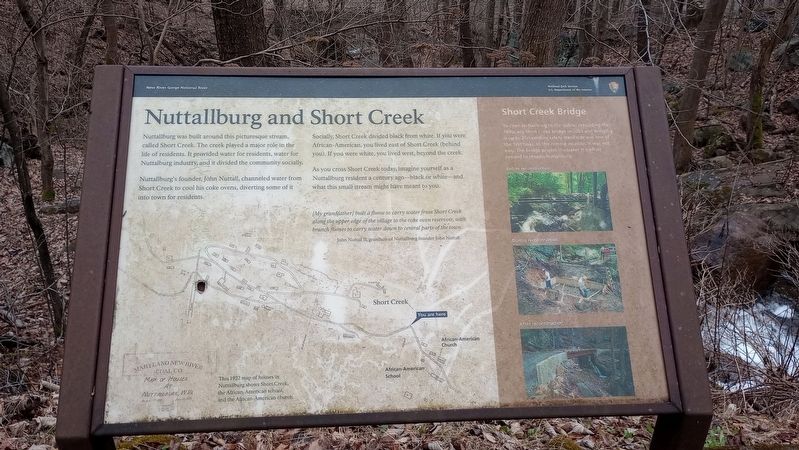
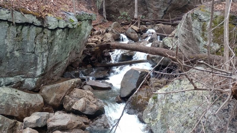
Nuttallburg was built around this picturesque stream, called Short Creek. The creek played a major role in the life of residents. It provided water for residents, water for Nuttalburg industry, and it divided the community socially.
Nuttallburg's founder, John Nuttall, channeled water from Short Creek to cool his coke ovens, diverting some of it into town for residents.
Socially, Short Creek divided black from white. If you were African-American, you lived east of Short Creek (behind you). If you were white, you lived west, beyond the creek.
As you cross Short Creek today, imagine yourself as a Nuttallburg resident a century ago-black or white-and what this small stream might have meant to you.
[My grandfather] built a flume to carry water from Short Creek along the upper edge of the village to the coke oven reservoir, with branch flumes to carry water down to central parts of the town.
John Nuttall II, grandson of Nuttallburg founder John Nuttall
Short Creek Bridge
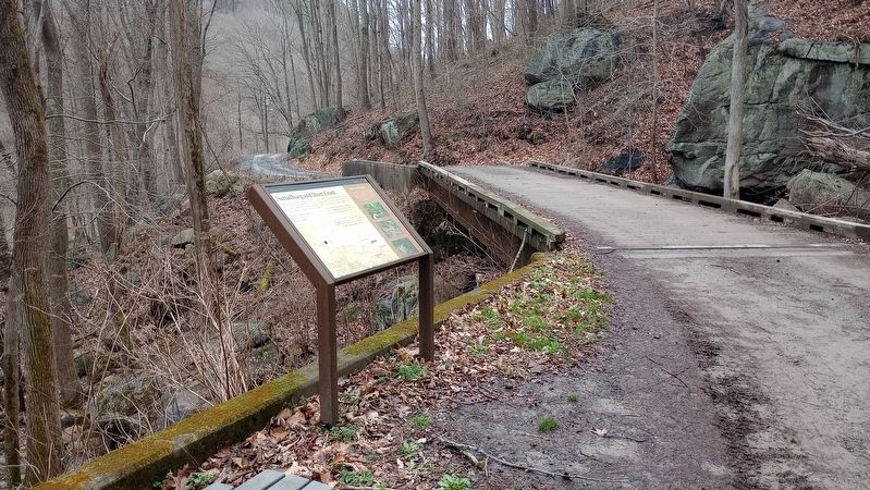
To open Nuttallburg to the public, rebuilding the 1890s-era Short Creek bridge in 2005 and bringing it up to 21st-century safety standards was one of the first tasks. In this remote location, it was not easy. The bridge project illustrates the effort needed to reopen Nuttallburg.
Erected by National Park Service, U.S. Department of the Interior.
Topics. This historical marker is listed in these topic lists: African Americans • Bridges & Viaducts • Industry & Commerce • Waterways & Vessels. A significant historical year for this entry is 2005.
Location. 38° 2.982′ N, 81° 2.229′ W. Marker is near Nuttallburg, West Virginia, in Fayette County. Marker is on Keeneys Creek Road (County Road 85/2) 3.3 miles west of San Mountain Road, on the right when traveling west. Touch for map. Marker is at or near this postal address: 460 Keeneys Creek Road, Fayetteville WV 25840, United States of America. Touch for directions.
Other nearby markers. At least 8 other markers are within walking distance of this marker. Segregated Coal Town (within shouting distance of this marker); Exploring Nuttallburg (about 400 feet away, measured in a direct line); A Building Evolves (about 800 feet away); Changing Landscape (approx. 0.2 miles away); Home Sweet Home (approx. 0.2 miles away); a different marker also named Exploring Nuttallburg (approx. 0.2 miles away); Railroads and Coal (approx. 0.3 miles away); John Nuttall And Nuttallburg (approx. 0.3 miles away). Touch for a list and map of all markers in Nuttallburg.
Credits. This page was last revised on March 11, 2024. It was originally submitted on March 6, 2024, by Craig Doda of Napoleon, Ohio. This page has been viewed 37 times since then. Photos: 1, 2, 3. submitted on March 6, 2024, by Craig Doda of Napoleon, Ohio. • Devry Becker Jones was the editor who published this page.


