Chamberlain in Brule County, South Dakota — The American Midwest (Upper Plains)
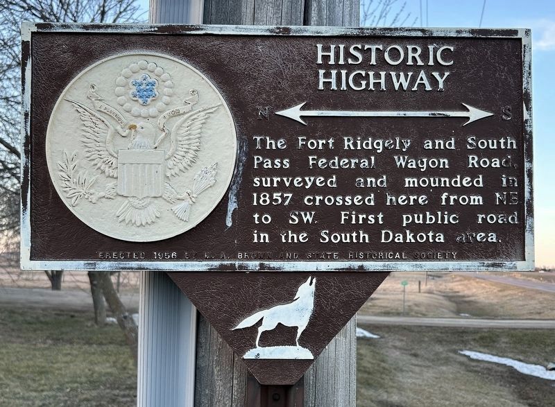
Historic Highway
Erected 1956 by M. A. Brown and State Historical Society. (Marker Number 582.)
Topics and series. This historical marker is listed in this topic list: Roads & Vehicles. In addition, it is included in the South Dakota State Historical Society Markers series list. A significant historical year for this entry is 1857.
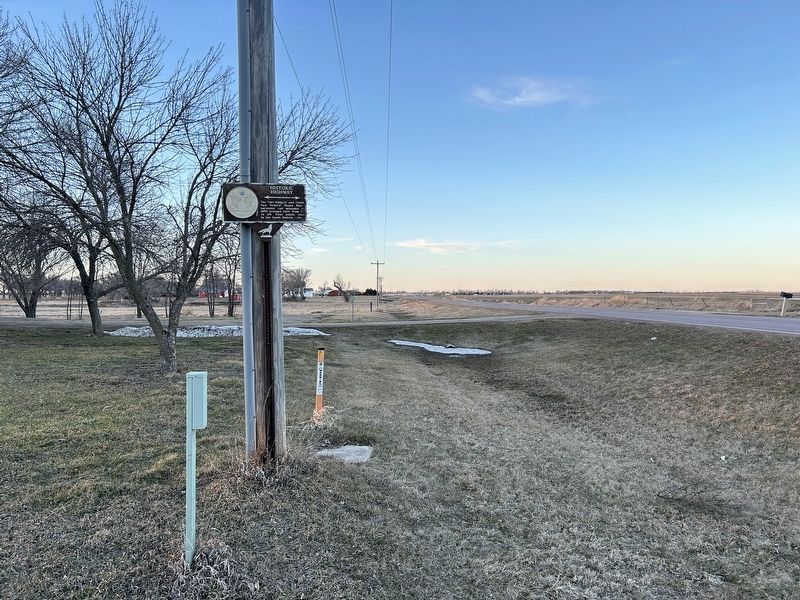
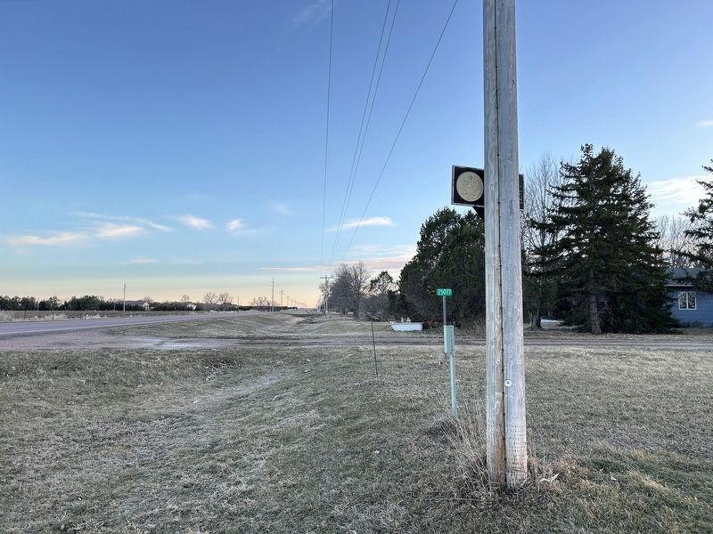
Location. 43° 44.916′ N, 99° 18.721′ W. Marker is in Chamberlain, South Dakota, in Brule County. Marker is on 344th Avenue, 0.2 miles north of 251st Street, on the left when traveling north. Touch for map. Marker is at or near this postal address: 25077 344th Ave, Chamberlain SD 57325, United States of America. Touch for directions.
Other nearby markers. At least 8 other markers are within 3 miles of this marker, measured as the crow flies. State Capitol - Pierre (approx. 2.9 miles away); World's Only Corn Palace - Mitchell (approx. 2.9 miles away); Sojourn at Camp Pleasant (approx. 2.9 miles away); Purple Heart Memorial Highway (approx. 2.9 miles away); Mount Rushmore National Memorial (approx. 2.9 miles away); The Making & Meaning of Dignity (approx. 2.9 miles away); Dignity (approx. 3 miles away); Missouri River Bridges of South Dakota (approx. 3 miles away). Touch for a list and map of all markers in Chamberlain.
Credits. This page was last revised on March 6, 2024. It was originally submitted on March 6, 2024. This page has been viewed 44 times since then. Photos: 1, 2, 3. submitted on March 6, 2024.


