Near Fort Thompson in Buffalo County, South Dakota — The American Midwest (Upper Plains)
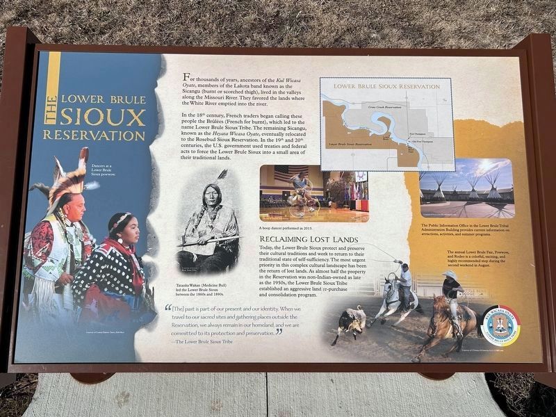
The Lower Brule Sioux Reservation
Dancers at a Lower Brule Sioux powwow.
Courtesy of Central Dakota Times, Debi Ruiz
For thousands of years, ancestors of the Kul Wicasa Oyate, members of the Lakota band known as the Sicangu (burnt or scorched thigh), lived in the valleys along the Missouri River. They favored the lands where the White River emptied into the river.
In the 18th century, French traders began calling these people the Brûlées (French for burnt), which led to the name Lower Brule Sioux Tribe. The remaining Sicangu, known as the Heyata Wicasa Oyate, eventually relocated to the Rosebud Sioux Reservation. In the 19th and 20th centuries, the U.S. government used treaties and federal acts to force the Lower Brule Sioux into a small area of their traditional lands.
Tatanka Wakan (Medicine Bull) led the Lower Brule Sioux between the 1860s and 1890s.
Courtesy of Lower Brule Sioux Tribe
A hoop dancer performed in 2013.
Courtesy of National Park Service
Reclaiming Lost Lands
Today, the Lower Brule Sioux protect and preserve their cultural traditions and work to return to their traditional state of self-sufficiency. The most urgent priority in this complex cultural landscape has been the return of lost lands. As almost half the property in the Reservation was non-Indian-owned as late as the 1950s, the Lower Brule Sioux Tribe established an aggressive land re-purchase and consolidation program.
"[The] past is part of our present and our identity. When we travel to our sacred sites and gathering places outside the Reservation, we always remain in our homeland, and we are committed to its protection and preservation."
—The Lower Brule Sioux Tribe
The Public Information Office in the Lower Brule Tribal Administration Building provides current information on attractions, activities, and summer programs.
Courtesy of www.TravelSouthDakota.com
The annual Lower Brule Fair, Powwow, and Rodeo is a colorful, exciting, and highly recommended stop during the second weekend in August.
Courtesy of ©Visions Of America LLC/123RF.com
Erected by Lower Brule Sioux Tribe.
Topics. This historical marker is listed in this topic list: Native Americans. A significant historical year for this entry is 2013.
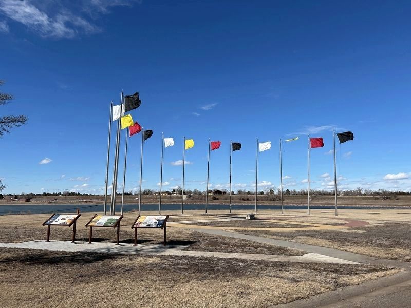
Location. 44° 3.581′ N, 99° 27.36′ W. Marker is near Fort Thompson, South Dakota, in Buffalo County. Marker is on State Highway 47 north of Lower Road, on the right when traveling south. Located by the Spirit of the Circle Monument at the Big Bend Dam. Touch for map. Marker is in this post office area: Fort Thompson SD 57339, United States of America. Touch for directions.
Other nearby markers. At least 3 other markers are within walking distance of this marker. The Spirit of the Circle Monument (here, next to this marker); The Crow Creek Reservation (here, next to this marker); Spirit of the Circle Monument Stone (a few steps from this marker).
Credits. This page was last revised on March 7, 2024. It was originally submitted on March 7, 2024. This page has been viewed 42 times since then. Photos: 1, 2. submitted on March 7, 2024.

