Chamberlain Township in Brule County, South Dakota — The American Midwest (Upper Plains)
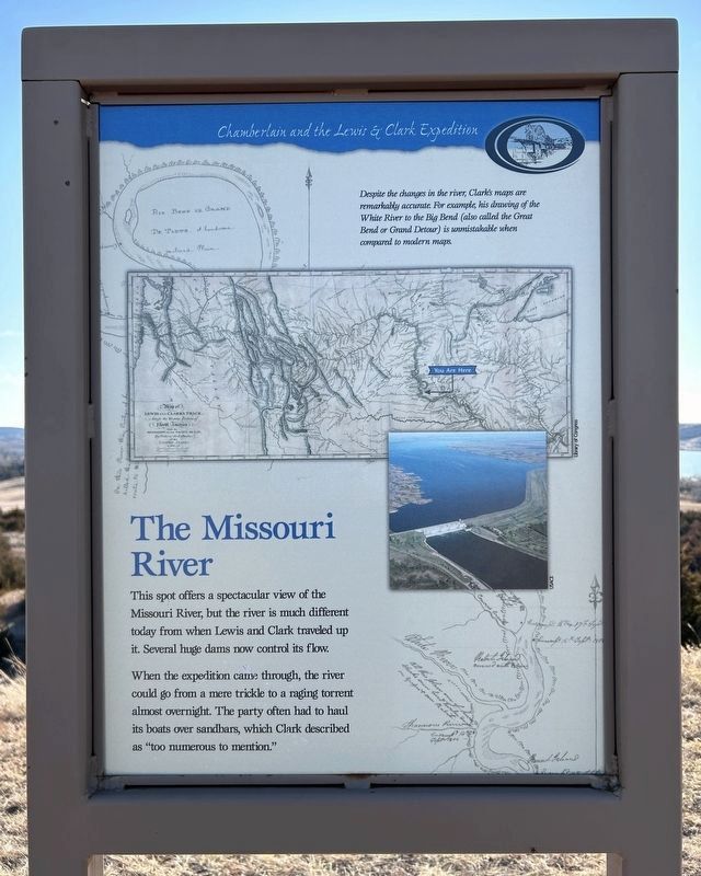
The Missouri River
Chamberlain and the Lewis & Clark Expedition
When the expedition came through, the river could go from a mere trickle to a raging torrent almost overnight. The party often had to haul its boats over sandbars, which Clark described as "too numerous to mention."
Despite the changes in the river, Clark's maps are remarkably accurate. For example, his drawing of the White River to the Big Bend (also called the Great Bend or Grand Detour) is unmistakable when compared to modern maps.
Liberty of Congress
USACE
Topics and series. This historical marker is listed in these topic lists: Exploration • Waterways & Vessels. In addition, it is included in the Lewis & Clark Expedition series list.
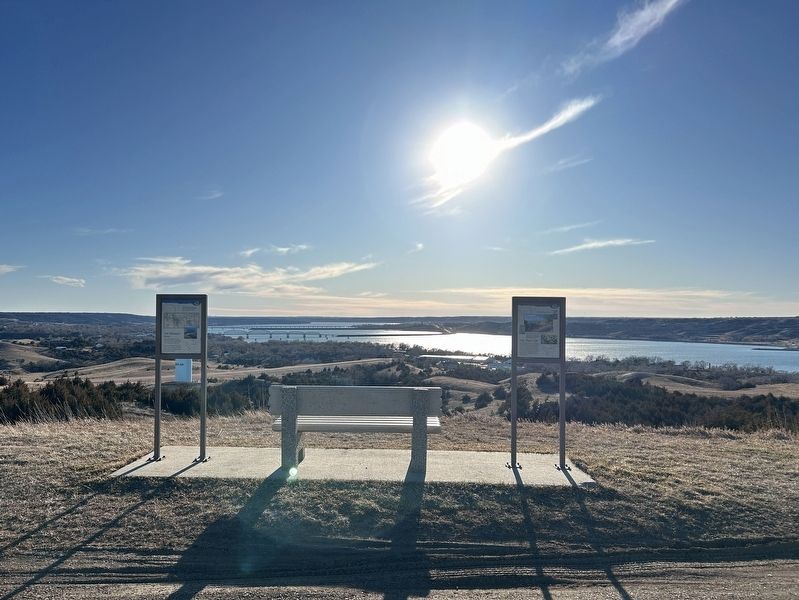
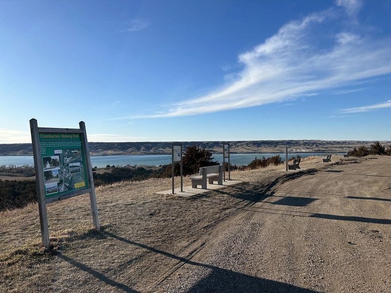
Location. 43° 49.659′ N, 99° 18.703′ W. Marker is near Chamberlain, South Dakota, in Brule County. It is in Chamberlain Township. Marker can be reached from State Highway 50 south of Thunder Road, on the right when traveling south. Located in Roam Free Park north of Chamberlain. Touch for map. Marker is in this post office area: Chamberlain SD 57325, United States of America. Touch for directions.
Other nearby markers. At least 8 other markers are within 4 miles of this marker, measured as the crow flies. The Plant Life (here, next to this marker); Divine Infant Home (approx. 0.6 miles away); St. Joseph's Memorial (approx. 0.6 miles away); Chamberlain (approx. 1.2 miles away); Barger Park (approx. 1.3 miles away); Roland L. Dolly Memorial Recreational Trail (approx. 1.9 miles away); This was until 1953 American Island (approx. 2.4 miles away); Missouri River Bridges of South Dakota (approx. 3.1 miles away). Touch for a list and map of all markers in Chamberlain.
Credits. This page was last revised on March 7, 2024. It was originally submitted on March 7, 2024. This page has been viewed 49 times since then. Photos: 1, 2, 3. submitted on March 7, 2024.


