Thurmond in Fayette County, West Virginia — The American South (Appalachia)
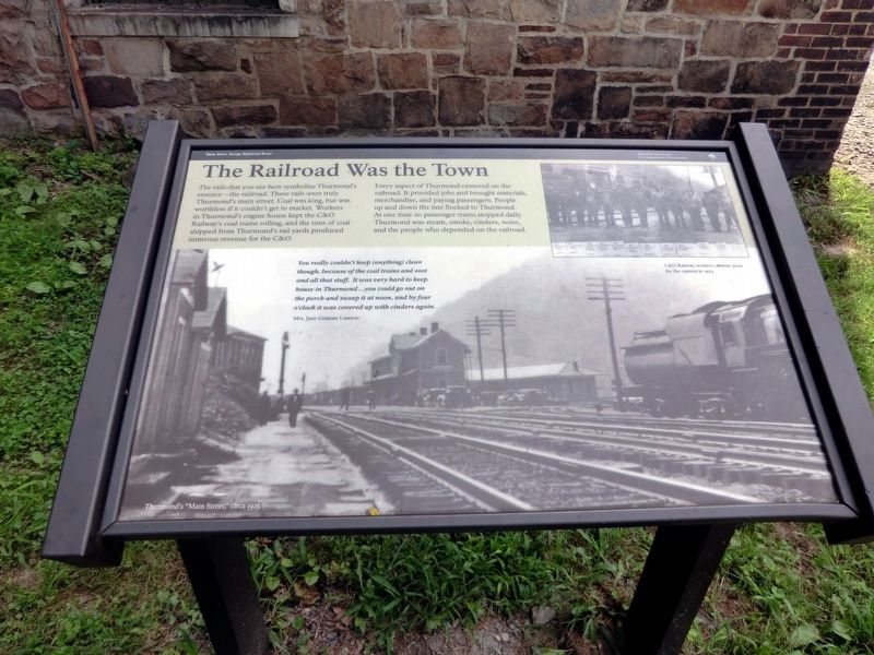
The Railroad Was the Town
New River Gorge National River
| — | National Park Service, U.S. Department of the Interior | — |
Photographed by Don Morfe, August 4, 2012
1. The Railroad Was the Town Marker
The rails that you see here symbolize Thurmond’s essence—the railroad. These rails were truly Thurmond’s main street. Coal was king, but was worthless if it couldn’t get to market. Workers in Thurmond’s engine house kept the C&O Railway’s coal trains rolling, and the tons of coal shipped from Thurmond’s rail yards produced immense revenue for the C&O.
Every aspect of Thurmond centered on the railroad. It provided jobs and brought materials, merchandise, and paying passengers. People up and down the line flocked to Thurmond. At one time 20 passenger trains stopped daily. Thurmond was steam, smoke, cinders, noise, and the people who depended on the railroad.
"You really couldn’t keep (anything) clean though, because of the coal trains and soot and all that stuff. It was very hard to keep house in Thurmond…you could go out on the porch and sweep it at noon, and by four o’clock it was covered up with cinders again."
Mrs. Jane Graham Lawson.
Erected by National Park Service, U.S. Department of the Interior.
Topics. This historical marker is listed in these topic lists: Industry & Commerce • Railroads & Streetcars. A significant historical year for this entry is 1923.
Location. Marker
this page online
We have been informed that this marker is no longer there and will not be replaced. This page is an archival view of what was.
Regionally, this marker was in the New River Gorge and in Greater Charleston Area. It was also in the American South, specifically in the Upper South, in Appalachia, and specifically in Southern Appalachia. Globally, it was in North America, the Western Hemisphere, the Western World, and the Anglosphere. Historically, it found itself in what was once the territory of the Mississippian Culture.

Other nearby markers. At least 8 other markers are within walking distance of this location: July 2013 (within shouting distance of this marker); 1998 (within shouting distance of this marker); 1995 (within shouting distance of this marker); 1995 - 1998 (within shouting distance of this marker); a different
Photographed by Don Morfe, August 4, 2012
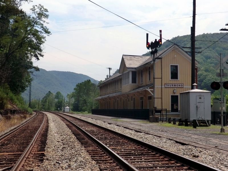
2. Train Depot and Visitor Center
Other markers no longer nearby. Thurmond’s Decline (was here, next to this marker but has been permanently removed); The Heart of Town (was here, next to this marker but has been permanently removed).
Photographed by Don Morfe, August 4, 2012
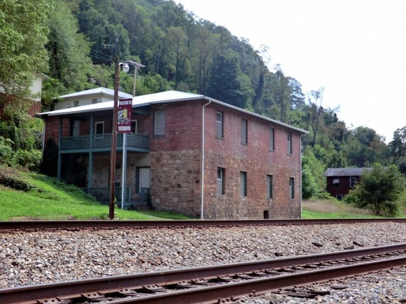
3. Thurmond old building along the railroad tracks
Photographed by Don Morfe, August 4, 2012
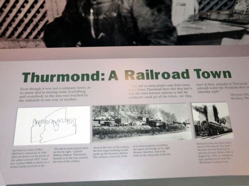
4. Inside the Train Depot visitor center
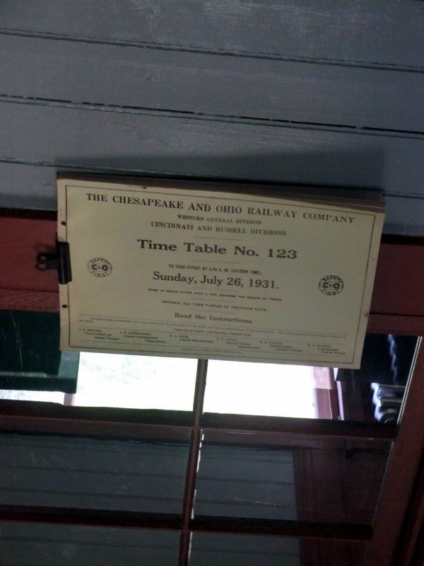
Photographed by Don Morfe, August 4, 2012
5. Inside the Train Depot visitor center
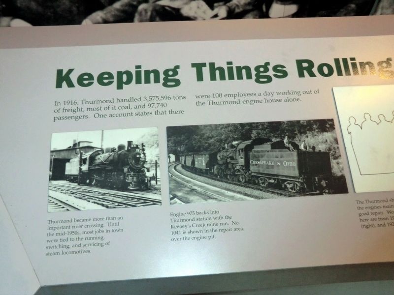
Photographed by Don Morfe, August 4, 2012
6. Inside the Train Depot visitor center
Credits. This page was last revised on March 8, 2024. It was originally submitted on November 27, 2016, by Don Morfe of Baltimore, Maryland. This page has been viewed 408 times since then and 20 times this year. Last updated on March 7, 2024, by Craig Doda of Napoleon, Ohio. Photos: 1, 2, 3, 4, 5, 6. submitted on November 27, 2016, by Don Morfe of Baltimore, Maryland. • Devry Becker Jones was the editor who published this page.
