Rothenburg ob der Tauber in Ansbach, Bavaria, Germany — Central Europe
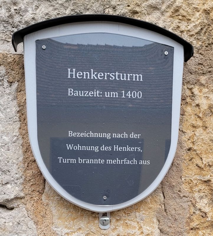
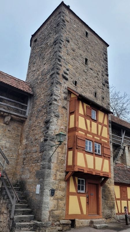
Henkersturm / Executioner's Storm
Bezeichnung nach der
Wohnung des Henkers,
Turm brannte mehrfach aus
Named after
the executioner's apartment,
the tower burned down several times
Topics. This historical marker is listed in these topic lists: Forts and Castles • Industry & Commerce • Law Enforcement. A significant historical year for this entry is 1400.
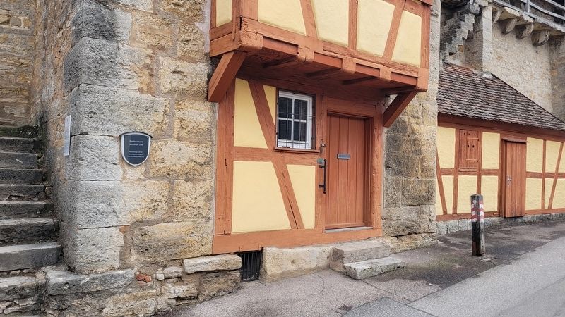
Location. 49° 22.811′ N, 10° 10.871′ E. Marker is in Rothenburg ob der Tauber, Bayern (Bavaria), in Ansbach. Marker is on Klingenschütt, 0.1 kilometers west of Schmidtsgäßchen, on the right when traveling west. The marker is located on the southwest corner of the tower. Touch for map. Marker is at or near this postal address: Klingenschütt 9, Rothenburg ob der Tauber BY 91541, Germany. Touch for directions.
Other nearby markers. At least 8 other markers are within walking distance of this marker. Türme der Nordflanke / Towers of the north flank (about 150 meters away, measured in a direct line); Pulverturm / Powder Tower (about 150 meters away); Schrannenscheune / Grain Storage Barn (about 180 meters away); Granary / Jewish Cemetery (about 210 meters away); Galgen- oder Würzburger-Tor / Gallows Gate (about 210 meters away); Galgentorturm / Gallows Gate Tower (about 210 meters away); Jews's Alley and Jewish Quarter (about 240 meters away); Fürbringertürmlein / Provider Tower (approx. 0.2 kilometers away). Touch for a list and map of all markers in Rothenburg ob der Tauber.
Also see . . . Town wall and town gates. Rothenburg ob der Tauber (Submitted on March 8, 2024, by James Hulse of Medina, Texas.)
Credits. This page was last revised on March 8, 2024. It was originally submitted on March 7, 2024, by James Hulse of Medina, Texas. This page has been viewed 37 times since then. Photos: 1, 2, 3. submitted on March 8, 2024, by James Hulse of Medina, Texas.


