North Newton Township in Shippensburg in Cumberland County, Pennsylvania — The American Northeast (Mid-Atlantic)
Cumberland Valley Railroad and the Battle of Antietam
Cumberland Valley Rail Trail
Inscription.
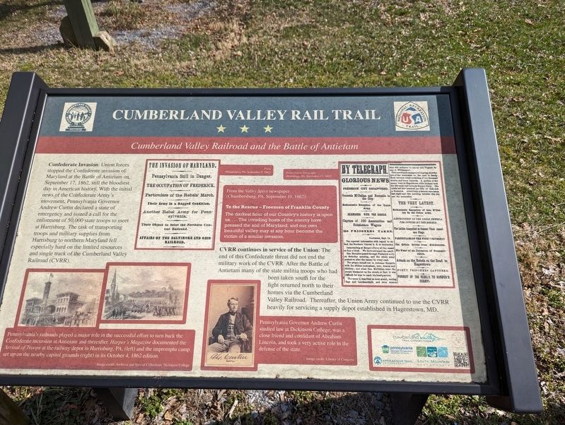
Confederate Invasion: Union forces stopped the Confederate invasion of Maryland at the Battle of Antietam on September 17, 1862, still the bloodiest day in American history. With the initial news of the Confederate Army's movement, Pennsylvania Governor Andrew Curtin declared a state of emergency and issued a call for the enlistment of 50,000 state troops to meet at Harrisburg. The task of transporting troops and military supplies from Harrisburg to northern Maryland fell especially hard on the limited resources and single track of the Cumberland Valley Railroad (CVRR).
CVRR continues in service of the Union: The end of this Confederate threat did not end the military work of the CVRR. After the Battle of Antietam many of the state militia troops who had been taken south for the fight returned north to their homes via the Cumberland Valley Railroad. Thereafter, the Union Army continued to use the CVRR heavily for servicing a supply depot established in Hagerstown, MD.
(captions)
Pennsylvania's railroads played a major role in the successful effort to turn back the Confederate incursion at Antietam and thereafter. Harper's Magazine documented the Arrival of Troops at the railway depot in Harrisburg, PA, (left) and the impromptu camp set up on the nearby capitol grounds (right) in its October 4, 1862 edition. Image credit: Archives and Special Collections, Dickinson College
From the Valley Spirit newspaper (Chambersburg, PA, September 10, 1862): To the Rescue - Freemen of Franklin County The darkest hour of our Country's history is upon us ...The invading hosts of the enemy have pressed the soil of Maryland, and our own beautiful valley may at any hour become the victim of a similar invasion.
Pennsylvania Governor Andrew Curtin studied law at Dickinson College, was a close friend and confidant of Abraham Lincoln, and took a very active role in the defense of the state. Image credit: Library of Congress
Topics. This historical marker is listed in these topic lists: Railroads & Streetcars • War, US Civil. A significant historical date for this entry is September 17, 1862.
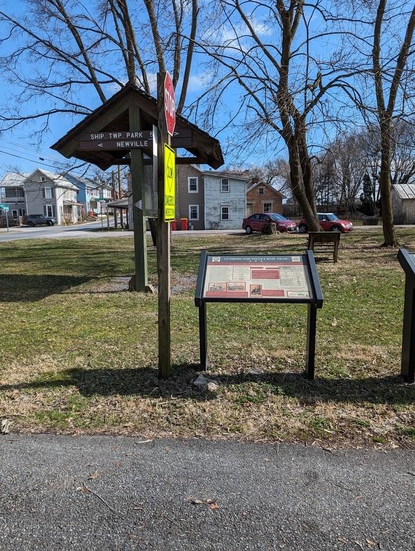
Location. 40° 7.583′ N, 77° 27.34′ W. Marker is in Shippensburg, Pennsylvania, in Cumberland County. It is in North Newton Township. Marker is at the intersection of Oakville Road and Cumberland Valley Rail Trail, on the right when traveling east on Oakville Road. Touch for map. Marker is at or near this postal address: 401 Oakville Rd, Newville PA 17241, United States of America. Touch for directions.
Other nearby markers. At least 8 other markers are within 4 miles of this marker, measured as the crow flies. Agriculture in the Cumberland Valley (here, next to this marker); Farmland Preservation (approx. 1.1 miles
away); Roadside and Farmers' Markets (approx. 2.6 miles away); Confederate Invasion of the Cumberland Valley (approx. 2.6 miles away); Cloverdale Spring Company (approx. 3˝ miles away); The Big Spring Adamantine Guards (approx. 3.7 miles away); Alexander Spring Creek Rail Bridge (approx. 3.7 miles away); Big Spring Creek - Agriculture, Industry and Recreation (approx. 3.9 miles away). Touch for a list and map of all markers in Shippensburg.
Credits. This page was last revised on March 8, 2024. It was originally submitted on March 7, 2024, by William Pope of Marietta, Pennsylvania. This page has been viewed 46 times since then. Photos: 1, 2. submitted on March 7, 2024, by William Pope of Marietta, Pennsylvania. • Bernard Fisher was the editor who published this page.

